Download
1 / 23
230 likes | 236 Vues
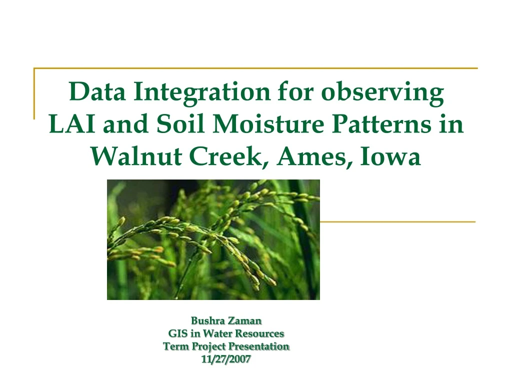
Data Integration for observing LAI and Soil Moisture Patterns in Walnut Creek, Ames, Iowa. Bushra Zaman GIS in Water Resources Term Project Presentation 11/27/2007. Motivation.

E N D
Data Integration for observing LAI and Soil Moisture Patterns in Walnut Creek, Ames, Iowa Bushra Zaman GIS in Water Resources Term Project Presentation 11/27/2007
Motivation • The Paper on “Upscaling ground observations of vegetation water content, canopy height, and leaf area index during SMEX02 using aircraft and Landsat imagery”, M.C. Anderson1, C.M.U. Neale2, F. Li3, J.M. Norman1, W.P. Kustas3, H. Jayanthi2, and J.Chavez2 • The Regression Equations developed in the paper have been used in this project.
Various Sources of Information Satellite Imagery Aerial Imagery Ground Measurements
Study Area • SMEX 2002 - Walnut Creek Watershed, Ames, Iowa. • Spatial coverage - 41.7°N - 42.7°N & 93.2°W - 93.8°W. • Temporal Coverage - Over a one month period between mid-June and mid-July. • In situ data was collected within the small-scale intensive Watershed domain. • This agricultural region consisted primarily of Cornand Soybeans in large homogeneous fields.
Pattern of the Study Area Plus a Network of Roads !!
Objectives • Use the existing models with Airborne and Satellite Imagery to create Spatial LAI layers. • To match these layers to the Soil moisture ground measurements. • To interpolate precipitation data for various stations in the area within the GIS. To compare the interpolated precipitation to the soil moisture pattern at that location.
Analysis • Precipitation data obtained for 22 Stations within the study area. Four other records for that period were obtained through DAYMETand one through SCAN. • The Geotiff Image from the Landsat TM for 6th June was imported into ERDAS Imagine and changed to .img files which are finally being used in ARcGIS. The other dates were obtained in proper format. (Thanks to Dr. Neale!) • All the images and shapefiles were projected into the NAD83 Geographic Coordinate System.
Leaf Area Index • The Leaf Area Index or LAI is the ratio of total upper leaf surface of vegetation divided by the surface area of the land on which the vegetation grows. • The LAI is a dimensionless value [m2/m2], typically ranging from 0 for bare ground to 6 for a dense forest.
Results • A New Toolbox is Created and Models are Built for NDWI/LAI and NDVI. • Spatial LAI – Obtained through Regression model • Temporal Variation of Leaf Area Index • Interpolation of Precipitation through Kriging • Effect of Rain on Soil Moisture • Saturation of NDVI • Variation of Soil Moisture with LAI on Site WC03
Models for NDVI,NDWI and LAI using ArcGIS Model for NDVI
Models for NDVI, NDWI & LAI using Imagine For Cross Checking !!
Equations Used • Regression Equation for LAI Where,y = LAI, anda = 2.88; b=1.14; c=0.104; d = 4.1 (Ref:Anderson, M. C., Neal, C. M. U., Li, F., Norman, J. M., Kustas, W. P., Jayanthi, H., & Chavez, J. (2004). Upscaling ground observations of vegetation water content, canopy height, and leaf area index during SMEX02 using aircraft and Landsat imagery. Remote Sensing of Environment. pii:S0034-4257(04)00176-2) • Vegetation IndicesNDWI = NIR-SWIR/NIR+SWIR NDVI = NIR – RED/NIR + RED
Spatial LAI S 0.89 S 2.86 C C S S 1.44 1.19 4.65 2.12 C C 1.64 4.92 LAI – 06/23/2002 LAI – 07/08/2002
Temporal Variation of Leaf Area Index Corn Sites Soybean Sites
Interpolated Precipitation (8th July 2002)Method Used - Kriging
Effect of Rain on Soil Moisture(8th July 2002) Soybean Sites Corn Sites
Variation of Soil Moisture with LAI on Site WC03 07/08/02 06/23/02 07/01/02
References [1] Anderson, M. C., Neal, C. M. U., Li, F., Norman, J. M., Kustas, W. P., Jayanthi, H., & Chavez, J. (2004). Upscaling ground observations of vegetation water content, canopy height, and leaf area index during SMEX02 using aircraft and Landsat imagery. Remote Sensing of Environment. pii:S0034-4257(04)00176-2. [2] Douglas Ramsey. Remote Sensing and GIS Laboratory, Utah State Univeristy, 2003. http://www.gis.usu.edu/%7Edoug/vegmanip/dem/index.html [3] Ray, S.S., Wadhwal,V.K., 2001,Estimation of crop evapotranspiration of irrigation command area using remote sensing and GIS, Agricultural Water Management,49: 239-249 [4] Anderson, M., 2003. SMEX02 Watershed Vegetation Sampling Data, Walnut Creek, Iowa. Boulder, CO: National Snow and Ice Data Center. Digital media. [5] Crosson,W.L.,Limaye, A.S.,and Laymon C.A., 2005,Member, IEEE Parameter Sensitivity of Soil Moisture Retrievals From Airborne C- and X-Band Radiometer Measurements in SMEX02, IEEE Transactions On Geoscience And Remote Sensing, 43(12):2842-2853, [6] Document URL: Napolitano R. et al.(2001). Data Integration for Leaf Area Index Prediction in Function of Land Cover Change. “Decision Support System for Sustainable ECOsystem MANagement in Atlantic Rain Forest Rural Areas (ECOMAN)”. Contract Nº ICA4-CT-2001-10096.
Data Sources • http://nsidc.org/data/docs/daac/nsidc0187_smex_veg_watershed.gd.html • http://www.daymet.org/ • http://nsidc.org/data/amsr_validation/soil_moisture/smex02/ • http://seamless.usgs.gov/ • www.Geodata.gov
Thank you ! Questions ?