Download
1 / 40
400 likes | 630 Vues
Remote Sensing Technology for Scalable Information Networks. Douglas G. Goodin Kansas State University Geoffrey M. Henebry University of Nebraska - Lincoln. What is the role of remote sensing in ecological research?. Ecological Remote Sensing enables recurrent observation….

E N D
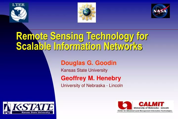
Remote Sensing Technology for Scalable Information Networks Douglas G. Goodin Kansas State University Geoffrey M. Henebry University of Nebraska - Lincoln
What is the role of remote sensing in ecological research? Ecological Remote Sensing enables recurrent observation…
…at multiple spatial scales… Konza Konza Prairie – 4 m resolution Konza Prairie – 1000 m resolution
Remote Sensing Technology is… • Hardware – sensors, computers, storage, distribution networks • Software – commercial, public domain, user-created • “Wetware”– scientists, data managers
What arethe Elements of Remote Sensing Technology (from an ecological perspective)? • Orbital, airborne, near-ground sensor systems • Ranges of spatial, temporal, & spectral resolutions • System for data acquisition, processing, distribution, & archiving • Algorithms to retrieve biogeophysical variables • Theory for interpretation & prediction
Landsat • US – Private/Gov’t • Moderate spatial resolution • 1972-Present
IKONOS • US – Private • 1999 – present • Very fine spatial resolution (1-4m)
NOAA – Polar Orbiter • US Government • Coarse spatial resolution, global coverage • 1982 - Present
RADARSAT • Canada – Gov’t/private • Imaging radar • 1996 - Present
Terra/EO-1 “Next-Generation” – Earth Observation • Multi-instrument platform • Multispectral, hyperspectral Coordinated observation With Landsat - 7
Aircraft Sensing Systems • Flexible mission planning • Selectable spatial resolution • High cost (?)
AVIRIS • US Gov’t (NASA) • Hyperspectral (224 bands) • Multiple Aircraft (ER-2, Twin Otter)
Other Aircraft Systems • Multiple (light) aircraft platforms • (Relatively) modest cost • Researcher control!
Close Range Remote Sensing • A wide variety of multi/hyper spectral instruments • Not just “ground truth” • Researcher control
What are the Elements of Remote Sensing Technology (from an Ecological perspective)? • Orbital, airborne, near-ground sensor systems • Ranges of spatial, temporal, & spectral resolutions • System for data acquisition, processing, distribution, & archiving • Algorithms to retrieve biogeophysical variables • Theory for interpretation & prediction
Spatial Resolution Coarse Moderate Fine
Spectral Resolution Panchromatic: 1 spectral band - very broad Multispectral: 4-10 spectral bands - broad Superspectral: 10-30 spectral bands - variable Hyperspectral: >30 spectral bands - narrow The challenge of hyperspectra is to reduce dense, voluminous, redundant data into a compact, effective suite of superspectral bands and indices for retrieval of biogeophysical fields.
What are the Elements of Remote Sensing Technology (from an Ecological perspective)? • Orbital, airborne, near-ground sensor systems • Ranges of spatial, temporal, & spectral resolutions • System for data acquisition, processing, distribution, & archiving • Algorithms to retrieve biogeophysical variables • Theory for interpretation & prediction
Data Handling System - Hardware Acquisition Distribution/Storage Processing
Data analysis system – linkages are critical Researchers/ Groups Archiving/Distribution
The MODIS system An example
What are the Elements of Remote Sensing Technology (from an Ecological perspective)? • Orbital, airborne, near-ground sensor systems • Ranges of spatial, temporal, & spectral resolutions • System for data acquisition, processing, distribution, & archiving • Algorithms to retrieve biogeophysical variables • Theory for interpretation & prediction
Retrieval of Biogeophysical Quantities & Indices R = òòf(,) sin cos d d T = [BT*(es)-1].25 NDVI = (rNIR - rRed)/(rNIR + rRed) EVI =2.5*(rNIR-rRed)/(L+rNIR+C1*rRed-C2*rBlue) s0 = [(S(i=1..N)xi2)/N] * [(C/k) * (sin a)/(sin aref)]
Calibration to derive physical quantities: an engineering problem • Does the instrument give the correct physical data? • Is the instrument’s range & sensitivity appropriate for the application? • Cross-sensor calibration
Calibration to derive ecological quantities: a scientific problem • Can the sensor data yield ecologically relevant relationships? • NOT ground “truth” – ground level observation RESCALING • Empirical relationships are site & time specific but reflectance, emission, and backscattering are interactions not intrinsic properties of observable entities
Calibration to derive ecological quantities: a scientific problem • Top-down vs. bottom-up modeling perspectives • Model invertibility • Model robustness
What are the Elements of Remote Sensing Technology (from an Ecological perspective)? • Orbital, airborne, near-ground sensor systems • Ranges of spatial, temporal, & spectral resolutions • System for data acquisition, processing, distribution, & archiving • Algorithms to retrieve biogeophysical variables • Theory for interpretation & prediction
To enable ecological forecasting, we need monitoring strategies for change detection:perceiving the differences change quantification: measuring the magnitudes of the differences change assessment: determining whether the differences are significant change attribution: identifying or inferring the proximate cause of the change
Observations Retrieval of biogeophysical variables Ground segment Acquisition, processing, storage, & archiving Information for Ecological Forecasting Ecological Questions & Hypotheses Change attribution Change assessment Assimilation of current observational datastreams Change detection Change quantification Spatio-Spectral- Temporal analysis Definitions of nominal trajectories and estimates of uncertainty
ACKNOWLEDGMENTS DGG acknowledges support from NASA EPSCoR subcontract 12860. GMH acknowledges support from NSF #9696229/0196445 & #0131937.