Download
1 / 37
390 likes | 584 Vues
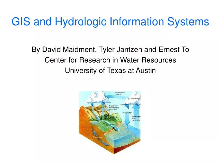
GIS and Hydrologic Information Systems. By David Maidment, Tyler Jantzen and Ernest To Center for Research in Water Resources University of Texas at Austin. GIS and Hydrologic Information Systems. Introduction to CUAHSI HIS WaterOneFlow web services ArcGIS Weather Downloader.

E N D
GIS and Hydrologic Information Systems By David Maidment, Tyler Jantzen and Ernest To Center for Research in Water Resources University of Texas at Austin
GIS and Hydrologic Information Systems • Introduction to CUAHSI HIS • WaterOneFlow web services • ArcGIS Weather Downloader
GIS and Hydrologic Information Systems • Introduction to CUAHSI HIS • WaterOneFlow web services • ArcGIS Weather Downloader
CUAHSI-Hydrologic Information Systems UCAR • CUAHSI –Consortium of Universities for the Advancement of Hydrologic Science, Inc • Formed in 2001 as a legal entity • Program office in Washington (5 staff) • Supported by the National Science Foundation Unidata Atmospheric Sciences Earth Sciences Ocean Sciences CUAHSI National Science Foundation Geosciences Directorate HIS
CUAHSI Member Institutions 109 Universities as of July 2006
Project co-PI Collaborator CUAHSI HIS Partner Institutions
HIS Goals • Hydrologic Data Access System – better access to a large volume of high quality hydrologic data • Support for Observatories – synthesizing hydrologic data for a region • Advancement of Hydrologic Science – data modeling and advanced analysis • Hydrologic Education – better data in the classroom, basin-focused teaching
GIS and Hydrologic Information Systems • Introduction to CUAHSI HIS • WaterOneFlow web services • Texas HIS • ArcGIS Weather Downloader
Water Data Water quantity and quality Soil water Rainfall & Snow Modeling Meteorology Remote sensing
NWISWeb site output # agency_cd Agency Code # site_no USGS station number # dv_dt date of daily mean streamflow # dv_va daily mean streamflow value, in cubic-feet per-second # dv_cd daily mean streamflow value qualification code # # Sites in this file include: # USGS 02087500 NEUSE RIVER NEAR CLAYTON, NC # agency_cd site_no dv_dt dv_va dv_cd USGS 02087500 2003-09-01 1190 USGS 02087500 2003-09-02 649 USGS 02087500 2003-09-03 525 USGS 02087500 2003-09-04 486 USGS 02087500 2003-09-05 733 USGS 02087500 2003-09-06 585 USGS 02087500 2003-09-07 485 USGS 02087500 2003-09-08 463 USGS 02087500 2003-09-09 673 USGS 02087500 2003-09-10 517 USGS 02087500 2003-09-11 454 Time series of streamflow at a gaging station
CUAHSI Hydrologic Data Access System http://river.sdsc.edu/HDAS NCDC NASA EPA NWS USGS Observatory Data A common data window for accessing, viewing and downloading hydrologic information
Observation Stations Map for the US Ameriflux Towers (NASA & DOE) NOAA Automated Surface Observing System USGS National Water Information System NOAA Climate Reference Network
Water Quality Measurement Sites in EPA Storet Substantial variation in data availability from states Data from Bora Beran, Drexel University
Water Quality Measurement Sites from Texas Commission for Environmental Quality (TCEQ)
NWIS Station Observation Metadata Describe what has been measured at this station
Web Page Scraping http://nwis.waterdata.usgs.gov/nwis/discharge?site_no=02087500&agency_cd=USGS&.... Programmatically construct a URL string as produced by manual use of the web page Parse the resulting ASCII file
CUAHSI Web Services Web Application: Data Portal • Your application • Excel, ArcGIS, Matlab • Fortran, C/C++, Visual Basic • Hydrologic model • ……………. • Your operating system • Windows, Unix, Linux, Mac Internet Simple Object Access Protocol Web Services Library
Data Sources NASA Storet Ameriflux Unidata NCDC Extract NCAR NWIS Transform CUAHSI Web Services Excel Visual Basic ArcGIS C/C++ Load Matlab Fortran Access Java Applications http://www.cuahsi.org/his/ Some operational services
Federal State Local Academic Water OneFlow • Like Geospatial OneStop, we need a “Water OneFlow” – a common window for water data and models • Advancement of water science is critically dependent on integration of waterinformation
GIS and Hydrologic Information Systems • Introduction to CUAHSI HIS • WaterOneFlow web services • ArcGIS Weather Downloader
WeatherDownloader The WeatherDownloader tool ingests historical and forecasted weather data from remote data repositories … A watershed …into a ArcHydro TimeSeries table
Data sources – historical weather Daymet • generates daily surfaces of temperature, precipitation, humidity, and radiation over large regions of complex terrain. • developed at the University of Montana, Numerical Terradynamic Simulation Group (NTSG), to fulfill the need for fine resolution, daily meteorological and climatological data necessary for plant growth model inputs. • Data are published at http://www.daymet.org (period of record = 1/1/1980 to 12/31/1997). • Data can be accessed programmatically via a web service at:http://river.sdsc.edu/DAYMETTS/DAYMET.asmx
Output Lat, Long Daymet interface allows data to be downloaded for any point in the conterminous US.
Data sources – forecasted weather NAM12km • stands for North American Mesoscale model (12km resolution). • predicts climate variables for the conterminous United States. • runs four times daily (0:00 UTC, 6:00 UTC, 12:00 UTC and 18:00 UTC). • predictions are made 84 hours into the future. • The spatial resolution of the model grid is 12.19 km, and the grid dimensions are 614 x 428. • Data are published at http://motherlode.ucar.edu:8080/thredds/catalog/model/NCEP/NAM/CONUS_12km/catalog.html • Data can be accessed programmatically via a web service at:http://river.sdsc.edu/UnidataTS/Nam12km.asmx
Output Grid indices: i,j NAM12km interface allows data to be downloaded for a single cell or an array of grid cells in the conterminous US.
How WeatherDownloader works WeatherDownloader HydroObjects CUAHSI Web service • obtains • point featureclass of desired locations • climate variables • date range • from user interface. parses user inputs into standardized “GetValues” request for a CUAHSI web service. converts standardized request to URL query. URL query extracts lat, long coordinates from each point. Data Repository Called by ArcMap In ArcMap Response converts response to a standardized XML. imports VB object into the ArcHydro TimeSeries table. converts XML to VB object
Other sources for WeatherDownloader • WeatherDownloader contains an advanced feature that allows ingestion of data from other web services. • The requirement is that the web services are compliant with the CUAHSI GetValues standard.
Inputs wsdl of the webservice web service name web method In this example, the user is downloading data from a remote SQL database by accessing the web services that wrap the database. Station ID VariableCode (Water Temperature) parameters Start Date End Date • HydroID and TSTypeID to identify the downloaded data in the ArcHydro TimeSeries table.
Outputs Data are ingested into the TimeSeries table of the ArcHydro Database the same way as with Daymet and NAM12km.
Summary of Demo • WeatherDownloader harnesses Daymet and Nam12km web services to ingest historical and forecasted weather data into ArcGIS. • It can also ingest data from other web services as long as they are compliant with CUAHSI’s GetValues standard.
Series and Fields Features Series – ordered sequence of numbers Point, line, area, volume Discrete space representation Time series – indexed by time Frequency series – indexed by frequency Surfaces Fields – multidimensional arrays Continuous space representation Scalar fields – single value at each location Vector fields – magnitude and direction Random fields – probability distribution
North American Regional Reanalysis of Climate Evaporation Precipitation Variation during the day, July 2003 NetCDF format mm / 3 hours
Conclusions • CUAHSI Hydrologic Information System synthesizes water data and models • WaterOneFlow web services provide a common data window on water observational data from many sources • Observational data at points and also weather field information can be accessed