Download
1 / 28
290 likes | 508 Vues
What is Geography?. World Studies. Important Distinction . We have one Earth, divided into……. 7 continents (large pieces of land) Each continent is broken into regions (areas that share similar characteristics) Each continent is also divided into one or more countries.

E N D
What is Geography? World Studies
Important Distinction • We have one Earth, divided into……. • 7 continents (large pieces of land) • Each continent is broken into regions (areas that share similar characteristics) • Each continent is also divided into one or more countries. • Australia (the continent) contains Australia (the country) • Africa (the continent is divided into 55 countries!) • Countries contain their own regions, as well as cities.
Let’s look at Africa the Continent Physical Africa Africa Divided into Countries
A Closer Look… A region of Africa A country in that region
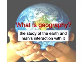
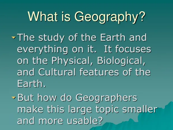
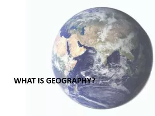
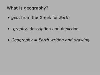
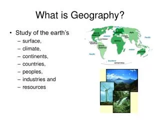
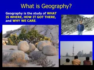
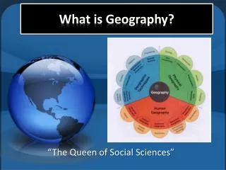
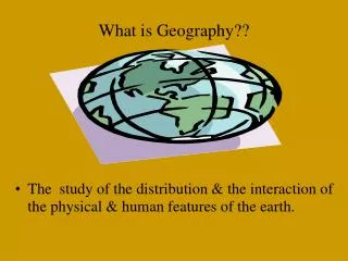
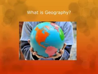
What is Geography? • Simple definition: The study of the Earth and it’s people. • Better definition: The study of where people, places, and things are located and how they related to each other.
Why is geography important in World Studies? • We will learn the location of continents, regions, countries, cities. • Helps us better understand our world, its people, and cultures. • Where are different people and cultures located? • What impact does physical geog. have on people? • Helps us study and understand history. • Helps us on a daily basis…how?
Two Main Branches of Geography Physical Human • Studies the physical/ natural features of the Earth. • Mountains, rivers, tectonic plates, oceans, volcanoes, natural resources. • Studies the interaction between people and the natural features of the Earth. • Farming, cities, culture, migration patterns, habitat, political boundaries.
5 Themes of Geography • Used to help us understand the links between people and the Earth. • M ovement • R egion • L ocation • I nteraction • P lace • Remember MR. LIP!
Movement • Examines the movement of people, goods, and ideas. • Movements often occur together. • How did Christianity end up in America? • Why do Mexicans speak Spanish? • Why is Polish sausage popular in Chicago?
Region • An area with similar and unifying characteristics. • Similarities may be physical (ie Rocky mts.) • Similarities may be cultural, political, or economic (ie the Muslim world) • What are some characteristics of the Chicagoland region?
Location • The position of a place on the Earth’s surface. • Can be relative (Harlan is in Chicago) or exact (Harlan is located at 9652 S. Michigan Ave.) • How else could you describe the relative location of Harlan?
Interaction • Studies the relationship between people and their environment. • How to people use the Earth’s resources to satisfy their needs? • Water for irrigation, land for farming, trees to build houses, oil as fuel. • What are potential negative outcomes to human interaction with the Earth?
Place • The physical and human characteristics of a location. • Describe Chicago…
What is a map? • A map is a two dimensional representation of a part or all of the Earth’s surface. • Shows us physical and political features of the Earth. • Can also show us information such as population density or climate.
Scale of a Map • What a distance on a map is equal to on the ground. • Different maps have different scales. • As we zoom in, scale becomes larger.
Important Parts of a Map • Compass Rose- shows direction on a map. • Scale- shows what a distance on a map is actually equal to on Earth. • Key- tells us what different symbols, colors and lines on a map mean.
Map Projections • Map projections are ways of showing a round Earth on a flat map. • There is no perfect map…all flat maps distort the Earth in some way. • Distortions may include: change in shape, change of distance, change in size, change in direction.
Different Types of Maps • Physical Maps • Shows features such as mountains, plains, rivers and oceans. • Focus is on natural features and not cities, countries, and borders. • I see the Alps Mts. but have no idea where Paris is.
Different Types of Maps • Political Maps • The focus is on cities, countries, states, and borders. • I see France but where is the Danube River?
Different Types of Maps • Thematic/ Special Purpose Map • These maps focus on specific information such as population density or resource distribution.
Different Types of Maps • Historical Maps • Shows how a certain area has changed over time. • Shows what a certain area used to look like. • I see the Holy Roman Empire, but where’s Germany?
Different Types of Maps • The Globe • A globe is the most accurate representation of the Earth because it is round like the Earth. • A globe shows us the truest sizes of land and bodies of water.