Download
1 / 25
250 likes | 398 Vues
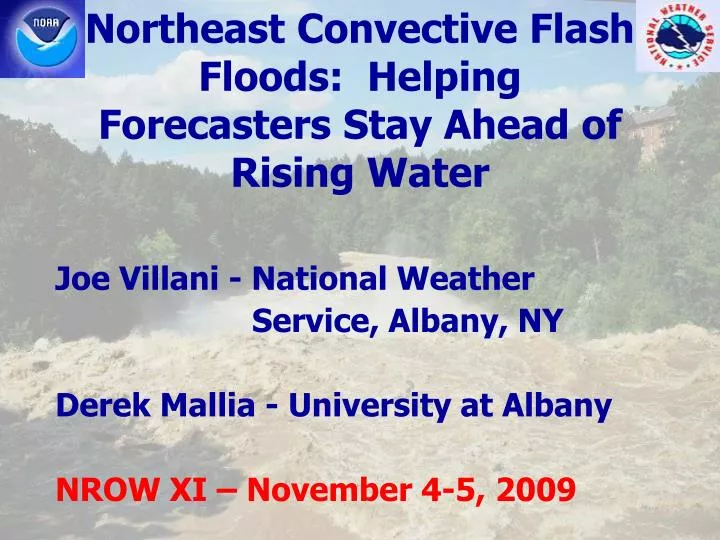
Northeast Convective Flash Floods: Helping Forecasters Stay Ahead of Rising Water. Joe Villani - National Weather Service, Albany, NY Derek Mallia - University at Albany NROW XI – November 4-5, 2009. Goals.

E N D
Northeast Convective Flash Floods: Helping Forecasters Stay Ahead of Rising Water Joe Villani - National Weather Service, Albany, NY Derek Mallia - University at Albany NROW XI – November 4-5, 2009
Goals • Better anticipate meteorological environments that produce flash flooding (FF) • Forecast “watch” phase of a FF event (12-24 hours in advance) • Identify factors that may distinguish days with isolated vs. widespread FF
Methodology • Investigate 20 FF events from Albany County Warning Area (CWA) • Warm season events from 2005 through July 2009 (non-tropical) • Classify events based on type of dominant feature when FF occurred
Methodology • Compile sounding derived parameters for each event • Enter data in spreadsheet • Stratify data based on isolated vs. widespread events
Methodology • Isolated = FF occurring over a small area resulting from one or two clusters of convection • Widespread = FF occurring over a large (or multiple) area(s) resulting from several different clusters of convection
Methodology • Composite plots of synoptic scale features using CDC website • Compare composites for days with widespread vs. isolated FF • Signatures evident in: • 500 hPa height anomalies • 850 hPa meridional wind anomaly • 250 hPa zonal wind mean
Data Sources • Weather Event Simulator (WES) • Archived local AWIPS data • Radar, satellite, surface observations, observed soundings, model initialized soundings • Soundings from 12 UTC or 18 UTC • Times preceded FF occurrences • Data mainly from ALB, some OKX
Significant Features • Four different classifications: • Cut-off Low • Frontal (cold, warm, stationary) • Upper Level Ridge/Surface boundary • Upper Level Trough/Low (NOT cut-off)
Widespread vs. Isolated FF Comparison • Not much difference in parameters overall • Somewhat stronger max 0-3 km wind • Other parameters relatively insignificant • Signatures evident in composites plots of synoptic scale features
Widespread vs. Isolated FF Comparison 250 hPa Zonal Wind Mean
Widespread vs. Isolated FF Comparison • 250 hPa Zonal Wind Mean: • Stronger jet positioned across Ohio Valley region (widespread) • Northeast CONUS in left-exit region of jet (widespread)
Widespread vs. Isolated FF Comparison 500 hPa Geopotential Height Anomaly
Widespread vs. Isolated FF Comparison • 500 hPa Geopotential Height Anomaly: • Much stronger negative anomaly across Central/Eastern Great Lakes region (widespread) • Stronger positive anomaly across Northeast Quebec (widespread)
Widespread vs. Isolated FF Comparison 850 hPa Meridional Wind Anomaly
Widespread vs. Isolated FF Comparison • 850 hPa Meridional Wind Anomaly: • Stronger and more expansive positive anomaly (southerly wind component) across Eastern New York into New England (widespread)
Observations/Conclusions • Widespread FF more likely with Cut-off Lows • 4 of 5 Cut-off Low events resulted in widespread FF • Most events occurred in June/July and during the afternoon and evening hours
Observations/Conclusions(From Sounding Data) • Most events exhibited veering wind profile in lowest 3 km • Less directional shear for widespread events • Mainly unidirectional flow in 3-6 km • “Tall/Skinny” character of CAPE for most events
Observations/Conclusions • Surface dewpoints in the 60s-70s for all events except one • June 15th 2009 dewpoints in the 50s • Almost all cases exhibited positive Theta-E advection at 850 hPa
Observations/Conclusions(Storm Scale) • In general, convective cells that produced FF were either: • Low Echo Centroids – most of significant reflectivity below the 0°C level (warm cloud processes resulting in high efficiency rainfall) • Slow-moving cells with taller updrafts (some produced hail and FF) • Training cells (repeatedly moved across the same areas)
Future Work • Look for synoptic scale features when forecasting isolated vs. widespread FF • Study some null events to compare to parameters/composites • Investigate hydrologic component of FF?
Acknowledgments • Derek Mallia, University at Albany • Julie Gabriel, University of Delaware • Neil Stuart, NWS Albany
Questions? Joe.Villani@noaa.gov