Download
1 / 20
200 likes | 321 Vues
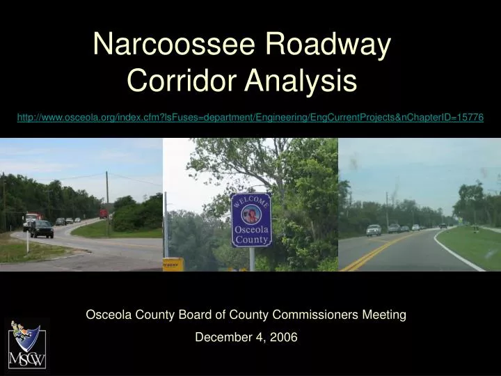
Narcoossee Roadway Corridor Analysis. http://www.osceola.org/index.cfm?lsFuses=department/Engineering/EngCurrentProjects&nChapterID=15776. Osceola County Board of County Commissioners Meeting December 4, 2006. Location. Narcoossee Road.

E N D
Narcoossee Roadway Corridor Analysis http://www.osceola.org/index.cfm?lsFuses=department/Engineering/EngCurrentProjects&nChapterID=15776 Osceola County Board of County Commissioners Meeting December 4, 2006
Narcoossee Road • Corridor Study from US-192 to Orange County line (~7.4 miles) • Primary north-south arterial road in Northeast County
Existing Conditions • 2 lane rural arterial road • 12 – foot travel lanes • 4 – foot shoulders • Open drainage system • 55 MPH speed limit
Need for Improvement • Current Average Annual Daily Trips (AADT) = 15,002 – 16,247 • Projected to fail adopted Level of Service (LOS) ‘D’ in 2010 • By 2030, projected 44,000 – 47,500 AADT
Need for Improvement • Safety • 2005: 21 accidents (7 injuries) • January 2006 – March 2006: 9 accidents (10 injuries)
Typical Sections • Urban section • Closed drainage • Design for 6-lane • Construct 4-lane • 45 MPH design speed
Methodology - Roadway • Typical section requires 130’ of R/W • Minimize R/W takes • Existing R/W Typically 100’ • Many segments of 130’ R/W • Minimize impacts to existing buildings • Minimize environmental impacts
Cyril’s Dr. to Orange County Line Existing Conditions: • Single family residential on both sides • Houses on left are closer to road • Reduced typical section Preliminary Recommendation: • Right widening • 15’ additional R/W required
Orange County Line to Boggy Creek Rd. • Inter-local agreement • Maintain reduced typical section • Orange County is constructing 6-lanes • Possibly re-align Boggy Creek Rd. intersection
Cost Right-of-way $12,600,000 Engineering $6,102,000 Construction $61,024,000 CEI $6,102,000 Program Mgmt. $6,102,000 Total $91,930,000
Recommendations • Continue public involvement • Reduce speed limit • Closed drainage system • Investigate landscape options • Investigate noise abatement options • On street bicycle lanes and/or multi-use paths • Reduced typical section at north end to minimize impacts