Download
1 / 22
230 likes | 236 Vues
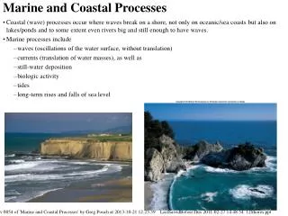
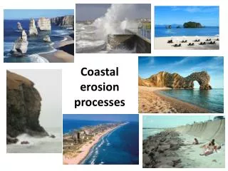
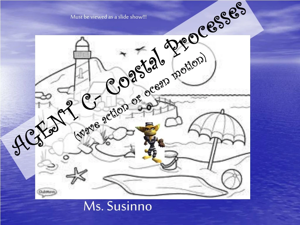
Must be viewed as a slide show!!!. AGENT C- Coastal Processes (wave action or ocean motion). Ms. Susinno. Barrier Island Long, narrow islands of sand and/or gravel that are usually aligned parallel to the shore of some coasts. What is our barrier island?. Montauk Point Lighthouse.

E N D
Must be viewed as a slide show!!! AGENT C- Coastal Processes (wave action or ocean motion) Ms. Susinno
Barrier Island Long, narrow islands of sand and/or gravel that are usually aligned parallel to the shore of some coasts. What is our barrier island?
Montauk Point Lighthouse Fire Island
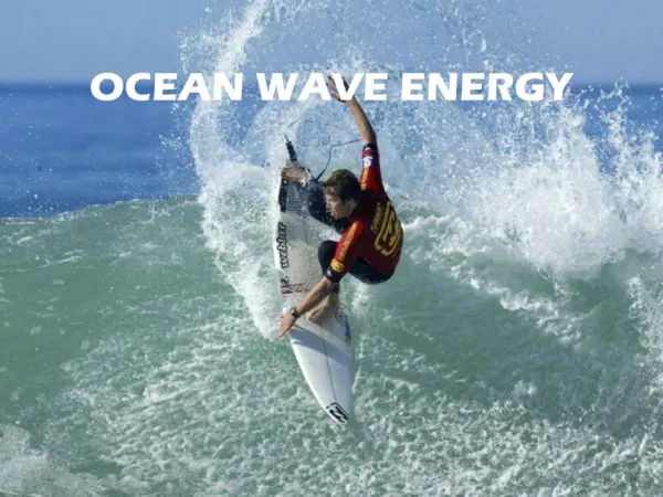
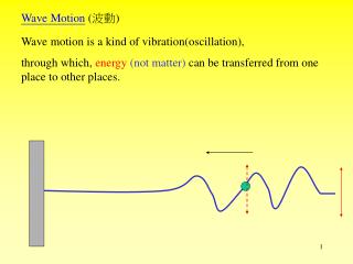
Wavelength Crest Crest Height Trough Waves in the Sea Most waves result from winds. A wave is described by its height, wavelength, period, and speed. Speed = Wavelength Period
http://www.classzone.com/books/earth_science/terc/content/visualizations/es1604/es1604page01.cfm?chapter_no=visualizationhttp://www.classzone.com/books/earth_science/terc/content/visualizations/es1604/es1604page01.cfm?chapter_no=visualization As a wave passes through water, the water particles move in a circular motion. Waves “feel” the bottom when water depth is half of wave’s wavelength. ½ wl
Waves approach the shoreline at an angle (refraction- longshore current) http://oceanica.cofc.edu/an%20educator'sl%20guide%20to%20folly%20beach/guide/driftanimation.htm Swash, backwash, longshore currents, and rip currents move water and sediments on beaches. WEST Fire Island EAST Backwash Swash This is Sandy. He’s a grain of sand. Longshore current and transport of sand
If the waves are driven by the winds, and we live in the prevailing Southwesterlies, why does the longshore current go opposite on Long Island? Wave refraction Meanwhile… in the Big Atlantic SW
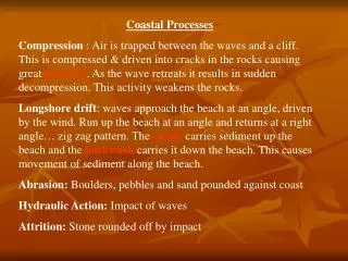
Fetch- The length of open water over which wind blows steadily. Period- The time it takes for one full wavelength to pass a given point Waves affect the shoreline by eroding and depositing materials.
http://www.wiley.com/college/strahler/0471480533/animations/ch19_animations/animation2.htmlhttp://www.wiley.com/college/strahler/0471480533/animations/ch19_animations/animation2.html Really do click on the link below. It is very helpful and I think Ant Man is narrating it. Where would Erosion take place? Deposition?
Sea cliff Longshore current Sea arch Sea stack Shoreline Features Anything that is cliffy is an erosional (–) feature Anything that is beachy or sandy is a depositional (+) feature. Can you find them here? You are allowed to call Mr. Tom Mr. Tombolo ONCE. Tombolo
Lagoon Spit Baymouth bar Longshore current Sandbars, spits, baymouth bars, hooks, lagoons, and barrier islands result from shoreline deposition. Find erosional and depositional features.
Click once to see my friend “Sandy” and again to see how he is eroded and deposited. Which coastal feature may result?
ACTUAL GOOGLE EARTH IMAGE!!!! Rockaways Montauk Know how to draw deposition and erosion in relation to a jetty. Rockaways Montauk Jetties or Groins
If you never learn anything in this class… LEARN THIS! https://youtu.be/d8c7RJx5pBg and https://youtu.be/M9OMIKsTuqY Rip currents (undertow) most typically form at low spots or breaks in sandbars, and also near structures such as groins, jetties and piers.
On Long Island, South Shore beaches: Swim toward NY City so that the longshore current is at your back! KNOW HOW TO SPOT A RIP! Don’t swim near jetties!
During a hurricane, waves get HUGE in the “armpit” because of refraction
See if you can name the features on the following slides. Are they erosional or depositional features?
Sandy Hook, NJ Spit
Indonesian island, Bali sea arch
tombolo Rip current Remember, you can’t always see the rips. NEVER EVER EVER go swimming without a lifeguard on duty.
bay headland Orkney, Scotland San Mateo County, California.