Download
1 / 15
150 likes | 165 Vues
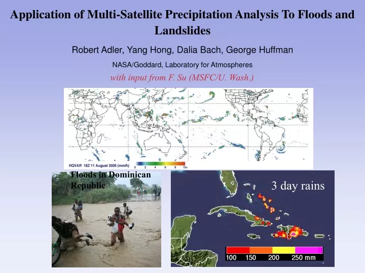
Application of Multi-Satellite Precipitation Analysis To Floods and Landslides Robert Adler, Yang Hong, Dalia Bach, George Huffman NASA/Goddard, Laboratory for Atmospheres. with input from F. Su (MSFC/U. Wash.). Floods in Dominican Republic. 3 day rains.

E N D
Application of Multi-Satellite Precipitation Analysis To Floods and Landslides Robert Adler, Yang Hong, Dalia Bach, George Huffman NASA/Goddard, Laboratory for Atmospheres with input from F. Su (MSFC/U. Wash.) Floods in Dominican Republic 3 day rains
Use of TMPA for Analysis of Extreme Precipitation Events Largest Daily Rainfall Over 8-year Period Ocean masked out
Basin 6682 Basin 6301 Basin 6598 Basin 3802 Testing of Rainfall Data Sets in Hydrological Model Scattergrams of daily basin-averagedprecipitation from gauged and satellite precipitation estimates for four sub-basins in La Plata for the period Jan 2003 to August 2006. PERSIANN CMORPH TMPA-RT TMPA V.6 Gauged (mm/dy) Gauged(mm/dy) Gauged (mm/dy) Gauged (mm/dy) Su (MSFC/U. of Wash.)
Daily Simulated Streamflow for Basin 3802 (Area: 189, 300km2) (Jan 2003 - Aug 30 2006) [Using VIC model] Simulated with sat. precip. Simulated with gauge precip. Improvement in TMPA-RT in 2005 leads to improved streamflow simulations as compared to pre-2005 Change in TMPA-RT Su (MSFC/U. of Wash.)
TMPA Real-time Heavy Rain Maps (updated every 3 hours) 1 day (35 mm), 3 day (100 mm), 7 day accumulations (200 mm) 20 June 2007 06 GMT THRESHOLD: 35 MM http://trmm.gsfc.nasa.gov
Global Hazard System (GHS-Flood)--An Approach Using Global Rainfall and Surface Information from Satellites and Other Sources “Curve Number” approach to infiltration based on surface conditions Cell-to-Cell Flow Routing Step I: Rainfall-infiltration Partitioning (Distributed and Time-variant) Step 2: Flow Routing using Macro-scale Cell-to-Cell Algorithm Step 3: Result:Grid Point Hydrographs--Flood Inundation Mapping Hydrological/Flood Model Now Running in Real-time in Experimental Mode Globally at 0.25° lat./long. Resolution
Feb 22,2007 Cyclone Favio 1998-2006 Daily Rainfall-Runoff Simulation over Limpopo Basin, Mozambique, Africa The 50yr Return Flood in Mozambique Limpopo basin mean hydrograph for 2007 event climaxing with Cyclone Favio Reuters News:(69 deaths, 120,000 affected) Cyclone Favio Feb. 2007
Global Hazard System (Floods) Quasi-global Runoff Model Running in Real-Time June 15, 2007, 1200 GMT Water depth/hydrograph at 0.25° 35mm 75mm >125mm http://trmm.gsfc.nasa.gov/publications_dir/potential_flood_hydro.html
Vietnam Floods 12 Nov. 2007, 03 UTC 1-Day Rainfall Estimated Water Depth from Hydrological Model 35mm 75mm >125mm Flooding kills 18 in central Vietnam The Associated Press November 12, 2007 HANOI, Vietnam: Floods in central Vietnam killed at least 18 people over the weekend. About 1.5 meters of water surrounded nearly 500 old homes in the historic town of Hoi An, a UNESCO World Heritage site. Crocodiles on loose in Vietnam Nov 12 2007 icWales Authorities in Vietnam have mobilised soldiers, militiamen and forest rangers to hunt for crocodiles that broke free from a farm during lethal flooding. They still do not know how many of the 5,000 crocodiles at the state-owned farm in central Vietnam escaped after flood waters knocked down part of the fence enclosing the tourist attraction.
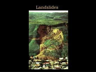
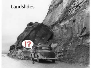
Relation of Rain Intensity-Duration Threshold and Landslide Occurrences Locations of 74 Rainfall-triggered Landslides Rainfall Intensity-Duration for the 74 cases 1 day threshold= ~75 mm of rain TMPA-based Threshold: I = 12.45 D -0.42 Caine’s (1980) Threshold: I = 14.82 D-0.39
Landslide Susceptibility Map Topography Morphology DEM, Slope, Aspect Curvature, Concavity Soil Property Geology Hydrology Sand, Foam, Silt, Clay Lithological makeup e.g., Soil Moisture Land Cover Shrub, barren, urban Surface Controlling Factors Global landslide susceptibility map constructed using Shuttle Radar Topography Mission (SRTM) DEM, MODIS vegetation and soil characteristic information
Ongoing work to evaluate landslide algorithm against landslide inventory based mainly on news reports
Heavy Rain, Floods, Landslides in Hispaniola--1 November 2007 Analyzed in Real-Time by Global Hazard System (GHS) 3-day heavy rains over 250 mm over Dominican Republic related to Hurricane Noel produces flooding (deduced by hydrologic model running globally in real-time) and landslides (estimated from real-time landslide potential algorithm) Rainfall information is from TRMM Multi-satellite Precipitation Analysis (TMPA) Adler/Goddard Space Flight Center
Conclusions and Future Work Conclusions: Satellite-based multi-satellite precipitation observations and land surface characteristics have provided new opportunity to develop global flood and landslide techniques--results appear very promising for global and regional applications. Limitations: Warm-season high bias of passive microwave; heavy rain associated with shallow orographic systems underestimated or even missed Global Hazard System--GHS (Flood, Landslide) real-time analysis producing usable results, but additional validation and improvement required to improve potential Future Work: • Developing user partners (gov’t and non-gov’t organizations) to receive feedback and aid in practical evaluations of both global and regional applications 2) Evaluation of techniques with 9 year historical satellite rain data and real-time data 3) Addition of gridded overlays of population and economic information for mitigation planning 4) Improvement of technique with more sophisticated modeling of flooding processes 5) Incorporate rainfall forecasts from global numerical weather prediction models to increase lead times
Global Hazard System (GHS) Identifies Real-Time Heavy Rain, Potential Floods and Landslides--Globally 23 August 2007 03GMT Estimated Water Depth from Hydrological Model 35mm 75mm >125mm Heavy Rainfall Last 24 Hours Floods Global Floods Locations of Potential Landslides Identified