Download
1 / 18
180 likes | 186 Vues
Shadows, combination of synthetic aperture sonar and forward looking gap-filler. Results in shallow water in Portsmouth during spring 2008. Portsmouth, Shallow Survey 2008, oct . 21-24, 2008, F. Jean. Contents. Introduction Presentation of the Shadows system Side Scan SAS Processing

E N D
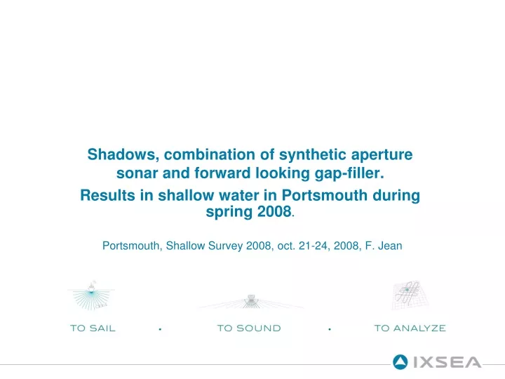
Shadows, combination of synthetic aperture sonar and forward looking gap-filler. Results in shallow water in Portsmouth during spring 2008. Portsmouth, Shallow Survey 2008, oct. 21-24, 2008, F. Jean
Contents • Introduction • Presentation of the Shadows system • Side Scan SAS Processing • Forward looking sonar Processing • Results in shallow water • Complex Image Informations • Further works
Introduction • Side scan Sonar : • Grazing angle • Echoes & shadows • Gap • Settings for Shadows : • Maximal range 300m ( 600m swath ) • Resolution 15cm • Filling the gap with comparable resolution
Shadows system • Shadows architecture • Sides • 2 m long, 24 receivers • 3 transmitters • F = 100kHz • B = 30 kHz • Front • 70cm wide, 48 receivers • 4 transmitters • F = 300kHz • B = 40kHz Real time georeferenced images PC algorithm PC acquisition ins
Side Scan SAS • Synthetic Aperture Sonar : • Sum of successive pings • Length (~number of pings) adapted to range • constant resolution along the swath • Algorithm Steps • INS Motion Compensation • DPCA Motion Compensation • Fusion and Real time beam forming (FFBP)
Side Scan SAS • INS motion compensation • Highly accurate and synchronised INS • Aided by a DVL -> limited linear drift • Realtime georeferencing • DPCA motion compensation • Using correlation between signals • Real time georeferenced mosaic
F1 F2 F3 F4 Forward looking sonar SAS data SAS data • Sectorized Emission Principle: • 4 different footprints • Ambiguous reception • Real Time: • Incoherent Integration of several pings • Post Processing: • movie of a target.
Fusion • Geo-referenced map • Keeping Continuous textures • No deformation straight line on the sea-bottom -> straight line on the image
Results in shallow water Portsmouth, spring 2008
Results in shallow water 20m x 20m image 30 meter water depth Range : approx. 70m 50m x 50m image 30 meter water depth Range : 20m to 100m
Complex Image Informations 2D • Spatial Fourier transform on amplitude 1D Space (m) Time (s) Frequency (Hz) Spatial frequency (m-1)
Complex Image Informations • Spatial Fourier transform on complex data Amplitude phase Amplitude (constant) phase Frequency Frequency • -> All information is in the Phase
Complex Image Informations • FFT of amplitude • Real Data : 1mx1m structure • Amplitude • FFT of complex • Phase • 8cm : alongtrackresolution (SAS) • 3cm : acrosstrackresolution • (30kHz Bandwidth)
Lowfrequency pixels Complex Image Informations • Partial Spectrum Images High frequency pixels
Complex Image Informations • Filtering using phase of image • Hermitian filter : Enhancing the ‘white pixels’
Further Works • Side scan SAS • Despeckling images • Work on different frequencies (higher or lower) • Interferometry • Forward looking Sonar • Increase fusion quality between sectors • Coherent integration