Download
1 / 12
120 likes | 136 Vues
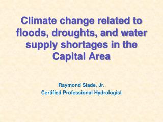
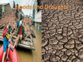
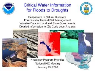
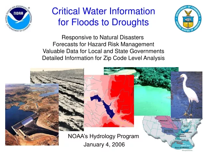
Critical Water Information for Floods to Droughts. Responsive to Natural Disasters Forecasts for Hazard Risk Management Valuable Data for Local and State Governments Detailed Information for Zip Code Level Analysis. NOAA’s Hydrology Program January 4, 2006. River channel Developed

E N D
Critical Water Informationfor Floods to Droughts Responsive to Natural Disasters Forecasts for Hazard Risk Management Valuable Data for Local and State Governments Detailed Information for Zip Code Level Analysis NOAA’s Hydrology Program January 4, 2006
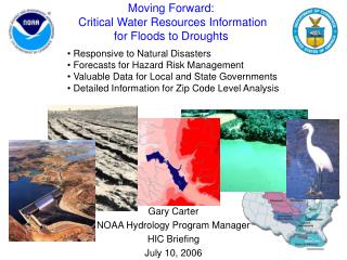
River channel Developed Shrubs/Grass Agriculture Wetlands Forecast Point Forecast Basin Predicting Floods to Droughts In Your Neighborhood River Services (600 miles per forecast point) Water Resource Services (6 square mile forecast basins) River Conditions Soil Conditions
River Services River flow and stage for specific locations Helpful in rivers and adjacent flood plains Limited ability to support multi- hazard natural disasters Information to deploy emergency resources throughout forecast region River point forecasts for long-term water planning for power supply and agriculture Water Resource Services Detailed water supply and soil condition forecasts for hazard resilient communities Run-off or River flow Soil moisture Soil temperature Precipitation Snowpack Surface storage Ground water Water temperature Water quality Information for first responders precisely targeted Short- to long-term water risk forecasts support hazard resistant businesses (including agriculture) and local ecosystem stewardship Water Predictions for LifeDecisions Protecting Life, Livelihood, and Way of Life
Hydrologic Modeling • Meteorological inputs • Physical, Institutional, • & Legal Features • Topography • Vegetation, land use • Lakes, glaciers • Soil properties • Ground water • River channel shape • River depth/flow • Dams, locks, levees • Reservoir operations • Irrigation, drains • Water rights
Long-term Vision: Integrated Water Science Coupled ocean/atmospheric/ land-surface model (global) WEATHER & CLIMATE FOCUS Coupled atmospheric/land-surface model (regional) Observing Systems Common Hydrologic Land-Surface Modeling System (Uncoupled) Research Labs WATER FOCUS Land Surface Hydrology & Water Resources Modeling Interface with Estuary Models, Water Quality Models
Long-term Vision for Climate-WaterResearch-to-Operations Climate Testbed Climate Research Models Service Delivery Systems Decision Support Tools Water Customers: Supply Irrigation Navigation Safety Surface and Ground Water Models Ensemble Forecasts Hydro-Testbed / Hydroclimatic Component
Long-term Vision:Hydrology Testbed • Enable Full Utilization of Existing Observing Systems • Development of data processing and assimilation capabilities • Science-to-Operations • Test new stream flow prediction models and forecasting techniques for time scales of hours to months NOAA EPA DOD New observing systems In-Situ Radar Water Resources Data Assimilation and CHPS AHPS Infrastructure USGS NASA Airborne Satellite New physiographic data physiographic Experimental River Forecast Center DOE USDA OTHERS
Hydrology Testbed: RTO Process Validation & Verification Prototype Operational Algorithms Operational Implementation R&D Algorithms “Operational” Environment Users & Customers (RFCs, WFOs, Other Agencies) New Science Feedback Collaborative R&D Partners (NOAA Labs, Universities)
Stage1: Hydrology Testbed Core Project and NASA grant Water Resources AHPS “Operational” Environment NIDIS Science Manager Cluster Computing IT/Software Manager
Stage 1: Hydrology Testbed • Development System for Water Resource Models • Structured software compatible with the Community Hydrologic Prediction System • Common environment and platform for in-house R&D and RTO that are integrated and fully coordinated • Open platform for collaborative R&D and RTO, including objective and transparent testing and evaluation • One-stop storehouse for new and emerging capabilities and experimental products for the RFCs • Laboratory for prototyping the next-generation hydrologic forecasting system and its computational and communications infrastructure • “Operational” Environment • National domain • Full domain modeled, focus on RFC test basins • Develop and test new science, demonstrate pathway to operations, conduct retrospective analyses • Requires modest cluster computing resources • Staff • Science Coordinator • Software Development/Architecture Specialist • Synergism with Other NOAA Testbeds • Climate Testbed • Hydromet Testbed • HEPEX Testbeds • Oversight • HOSIP
Water Predictions for LifeDecisions From Climate Predictions to Water Management Water Management Hydrology and Water Resources Modeling, Data Assimilation Drought Mitigation Flood Management Flash Flood Prediction Water Supply Transportation Emergency Management Agriculture Ecosystem Stewardship Climate Prediction: Temperature Precipitation Snowpack Water Prediction Hydrologic Ensemble Prediction Decision Support Tools