Download
1 / 11
110 likes | 237 Vues
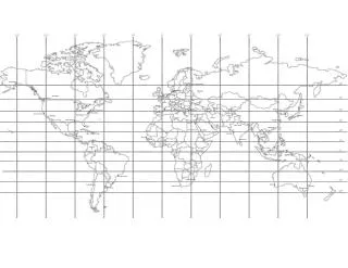
MARS 120 Lab. Lab 1 – Geography of the oceans, Contouring, and Bathymetery Objectives: To become familiar with the topography of the seafloor, and differences in ocean basins To be able to locate specific features on the seafloor To gain experience in contouring

E N D
MARS 120 Lab Lab 1 – Geography of the oceans, Contouring, and Bathymetery Objectives: To become familiar with the topography of the seafloor, and differences in ocean basins To be able to locate specific features on the seafloor To gain experience in contouring To gain experience reading maps and bathymetric charts
Part 1 – Geography of the Oceans Objectives: Split into 5 groups. Answer the questions to the best of your ability.
Part 2 – Contouring Contours – lines of equal values for data points (depth, elevation, temp, etc.) Techniques: Identify data and surface you are contouring Identify contour values (units: 0, 10, 20, etc.) Get a mental image of contours in the area Locate contours Connect contour lines Label contour lines