Download
1 / 4
40 likes | 127 Vues
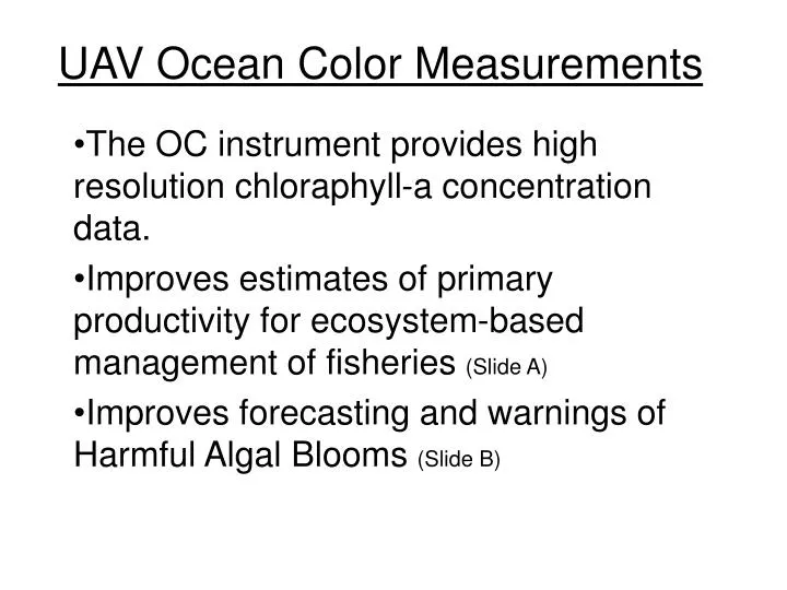
UAV Ocean Color Measurements. The OC instrument provides high resolution chloraphyll-a concentration data. Improves estimates of primary productivity for ecosystem-based management of fisheries (Slide A) Improves forecasting and warnings of Harmful Algal Blooms (Slide B).

E N D
UAV Ocean Color Measurements The OC instrument provides high resolution chloraphyll-a concentration data. Improves estimates of primary productivity for ecosystem-based management of fisheries (Slide A) Improves forecasting and warnings of Harmful Algal Blooms (Slide B)
Menhadan Catch (Slide A) Photo NOAA gallery Improved estimates of primary productivity can translate directly to better catches, such as this large catch of Menhaden (Atlantic)
Fish Kill from a harmful Algal Bloom (Slide B) Photo Woods Hole Oceanographic Institute
Therefore we can manage fisheries better with improved information