Download
1 / 25
250 likes | 419 Vues
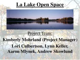
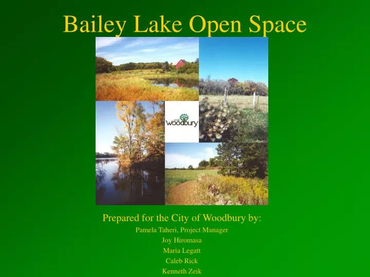
Bailey Lake Open Space. Prepared for the City of Woodbury by: Pamela Taheri, Project Manager Joy Hiromasa Maria Legatt Caleb Rick Kenneth Zeik. Bailey Lake Open Space. located southwest of the intersection of Dale Road and Woodbury Drive

E N D
Bailey Lake Open Space Prepared for the City of Woodbury by: Pamela Taheri, Project Manager Joy Hiromasa Maria Legatt Caleb Rick Kenneth Zeik
Bailey Lake Open Space • located southwest of the intersection of Dale Road and Woodbury Drive • features South Bailey Lake and contains a mix of cover types, including prairie and mixed hardwood forest
Vision • Promote community togetherness • Provide active and passive recreational opportunities • Protect Woodbury’s natural resources
Goals 1. Develop a detailed description of the site 2. Provide management recommendations
Goal 1:Describe the site • inventory vegetation, physical conditions, water resources, and wildlife • evaluate adjacent land use, contaminant sources, infrastructure, and people management
Site A: Description 12 acres adjacent to Dale Road • short to medium grasses and a mix of coniferous and deciduous trees • open water
Site B: Description 40 acres adjacent to Woodbury Dr. • short to medium grasses, a Scot’s Pine stand, and a mix of deciduous trees • South Bailey Lake • pumping station
Site B: Description 40 acres adjacent to Woodbury Dr. • short to medium grasses, a Scotch Pine stand, and a mix of deciduous trees • South Bailey Lake • pumping station
Site C: Description 80 acres SW of Site B • Currently farmed for corn and soybeans
Site C: Description 80 acres SW of Site B • Currently farmed for corn and soybeans
Site D: Description 45 acres NW of Site C • CD-P85 storm-water infiltration basin • contaminants
Site D: Description 45 acres NW of Site C • CD-P85 storm-water infiltration basin • contaminants
Wildlife • diverse group of birds, mammals, amphibians, and reptiles • threatened and endangered species
Adjacent Land Use • agricultural land • private residences • Xcel/NSP power line corridor
Future Planning • residential development and expansion • construction of CD-P86
Goal 2: Provide recommendations • establish a set of recreation options compatible with the site • develop a plan for the restoration of historical vegetation
Recommendation 1:Restore pre-settlement oak savanna • Why? • What sites? • Scot’s pine removal? • Site preparation? • Where do the seeds come from? • Who’s done it?
Recommendation 1:Restore pre-settlement oak savanna • Time Frame • Why start now? • When will it be usable? • Future maintenance?
Recommendation 2:Design Bailey Lake trail system • Overlooks and benches • Signage
Recommendation 2:Design Bailey Lake trail system • Intended users • Accessibility • Bridge • Connectedness
Recommendation 3:Enhance and maintain existing ecosystems SITE A • Visual Park • Enhance current vegetation SITE D • Clean-up • Enhance current vegetation
Recommendation 4:Further research Site C • CD-P86 • Vegetation
Recommendation 5:Future land acquisition • 80 acres North of Site C • Connect present sites • Disc golf • Community gardens