Download
1 / 26
260 likes | 271 Vues
San Joaquin Valley Land Subsidence Monitoring Jeanine Jones, California Department of Water Resources. NASA Subsidence Monitoring for DWR. Initially for DWR drought impact monitoring. Groundwater pumping (and subsidence) increase during dry years

E N D
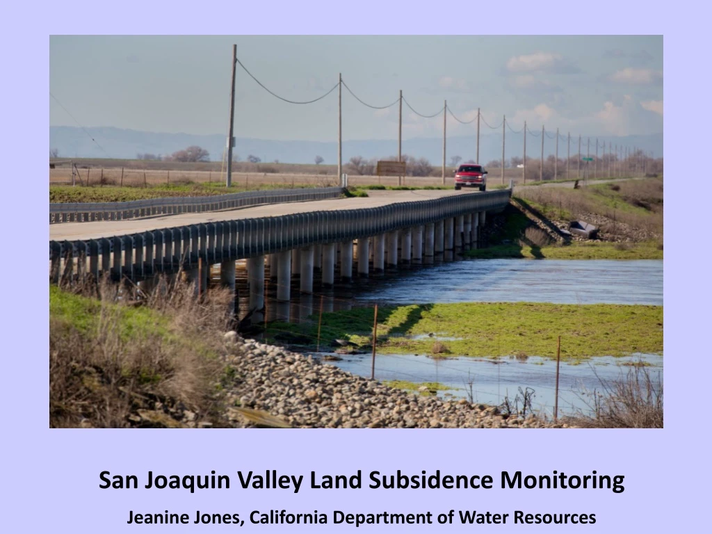
San Joaquin Valley Land Subsidence Monitoring Jeanine Jones, California Department of Water Resources
NASA Subsidence Monitoring for DWR • Initially for DWR drought impact monitoring. • Groundwater pumping (and subsidence) increase during dry years • Where are the subsidence hot spots? How is critical water infrastructure being affected? • Will also support local agency implementation of SGMA going forward
DWR-NASA Project Timeline • DWR initial contract with NASA covered 2007-2010 (PALSAR satellite) & 2014-15 (Radarsat 2 satellite), plus UAVSAR (aircraft) in 2013-15 along California Aqueduct • Subsequent contract amendment covered 2015-16, newly available imagery from Sentinel satellite beginning in 2015 greatly expanded spatial coverage • New contract amendment being processed for 2017-18 coverage
Subsidence Rates Increase During Drought Driest 4 Consecutive Water YearsBased on Statewide Precipitation WRCC data
Comparison of Historical Water Project Allocations in Dry Years
Subsidence Not a New Issue, Especially in San Joaquin Valley 1997 California Aqueduct Lining Raise
Background – Subsidence Damage • Inelastic (non-recoverable) deformation of land surface, damage manifestation controlled by subsurface conditions • Risk-prone areas – clay soils, e.g. lacustrine deposits • Damages are cumulative • Often “out of site, out of mind” until a problem occurs
Arizona Example – Earth Fissures Due to Differential Settlement Image courtesy Arizona Geological Survey
Estimated Historical Subsidence from 1949 - 2005, cross-section from I-5 to Tranquility
Unique Monitoring Capability of Radar Remote Sensing • Satellite covers very large spatial area, at an affordable cost • Measurements can be repeated frequently over the water year • Experimental aircraft monitoring provides high resolution • Excellent for hot-spot monitoring NASA image
February 2017 Fresno Co. Sheriff Evacuation Advisory, Tranquility Levee
Next Steps in Subsidence Monitoring • Continuation of DWR-NASA satellite & aircraft monitoring, evaluation of expansion of aircraft monitoring near critical water infrastructure (dependent on funding) • Evaluation of filling in-situ monitoring gaps with GPS sites or extensometers • DWR/WEF subsidence monitoring workshop in Fresno August 16th