Download
1 / 17
170 likes | 178 Vues
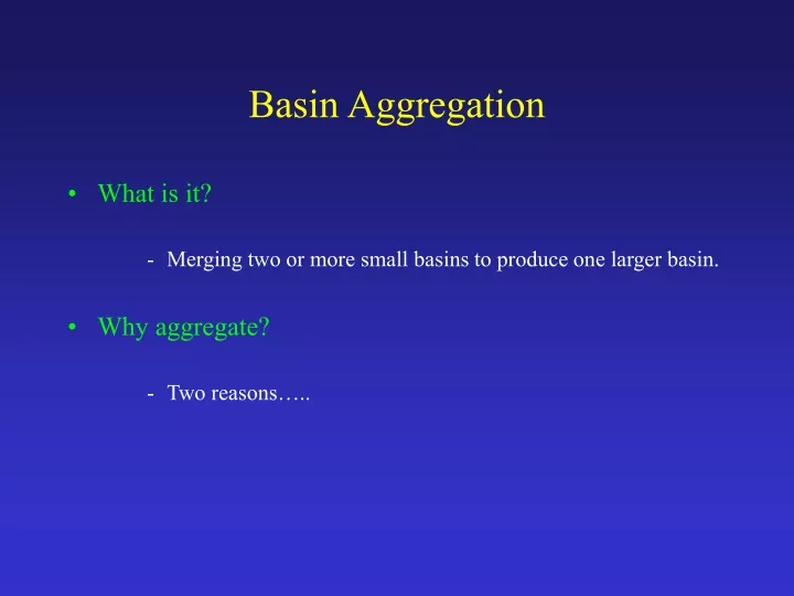
Basin Aggregation. What is it? Merging two or more small basins to produce one larger basin. Why aggregate? Two reasons…. Basin Aggregation. 1) FFMP requires every basin to be associated with at least one radar bin. No radar bins associated with these basins. Basin Aggregation.

E N D
Basin Aggregation • What is it? • Merging two or more small basins to produce one larger basin. • Why aggregate? • Two reasons…..
Basin Aggregation 1) FFMP requires every basin to be associated with at least one radar bin. No radar bins associated with these basins
Basin Aggregation 2) Basins that are too small may be lost in the resolution of the display. • Basins <2 mi2 in area were considered "too small".
Basin Aggregation General aggregation rules followed for the FFMP basins (****_aggr_basins): • An interbasin <2 mi2 or an interbasin without an associated radar bin is merged with the next upstream interbasin. • A tributary basin that does not have an upstream basin is merged with the interbasin into which it flows. • If the resulting merged basin is <2 mi2 or does not contain a radar bin, it is merged with the next upstream basin.
Aggregation Rules Interbasin <2 mi2 Next upstream interbasin • An interbasin <2 mi2 or an interbasin without an associated radar bin is merged with the next upstream interbasin. Final merged basin (>2 mi2)
Aggregation Rules Tributary without radar bin Interbasin into which the tributary flows • A tributary basin that does not have an upstream basin is merged with the interbasin into which it flows. Final merged basin
Basin Aggregation Aggregation can result in basins that are confusing from a hydrologic standpoint. Ideally, the tributary shown in the merged basin to the left should have its own average rainfall calculation. However, because it was not associated with a radar bin, it has been lumped with two interbasins. In a hydrologic sense, what does the average rainfall value for this basin tell us?
Basin Aggregation Aggregation can also exacerbate the problem of poorly represented rainfall amounts. The average rainfall value for the merged basin below is represented by a single radar bin at the most upstream reach. The rainfall estimates contributing to the basin calculation above do not represent any precipitation that might be falling over the tributary portion of the merged basin.
FFMP Shapefile Assembly 1) Edgematch HUC basins 2) Aggregate basins (merge basins <2 mi2 and basins without radar bins) 3) Merge original basins, aggregated basins, streams, and NHD reach and region shapefiles 4) Flag reservoirs 5) Spatially join counties/CWAs and RFCs to basin outlets 6) Extract stream names from NHD (as available) 7) Spatially join aggregated basins to radar bin center points 8) Convert final shapefiles to Geographic coordinates and calculate centroids
FFMP Shapefile Assembly Edgematch HUC basins
FFMP Shapefile Assembly Edgematch HUC basins
Final FFMP Shapefile Assembly Merge individual HUC shapefiles to produce one basin shapefile (original and aggregated basins).
Final FFMP Shapefile Assembly Select aggregated basins within the radar coverage area and convert to a new shapefile.
Final FFMP Shapefile Assembly Select and flag basins intersecting lakes and reservoirs that are >0.25km2.
Final FFMP Shapefile Assembly Spatially join counties/CWAs and RFCs to basin outlet points.
Final FFMP Shapefile Assembly There may be more than one NHD reach corresponding to each DEM-derived stream reach. Not all NHD reaches are named (red reaches show those with names). Extract stream names from the NHD reach shapefile. • Names are assigned based on the most prevalent name within a basin (based on stream length). • Thus, the name assigned may not be the name of the main stem. ***Important: These names are a starting point--they MUST be checked for accuracy and changes/additions should be made as necessary.
Final FFMP Shapefile Assembly Spatially join aggregated basins to radar bin center points.