Download
1 / 8
80 likes | 331 Vues
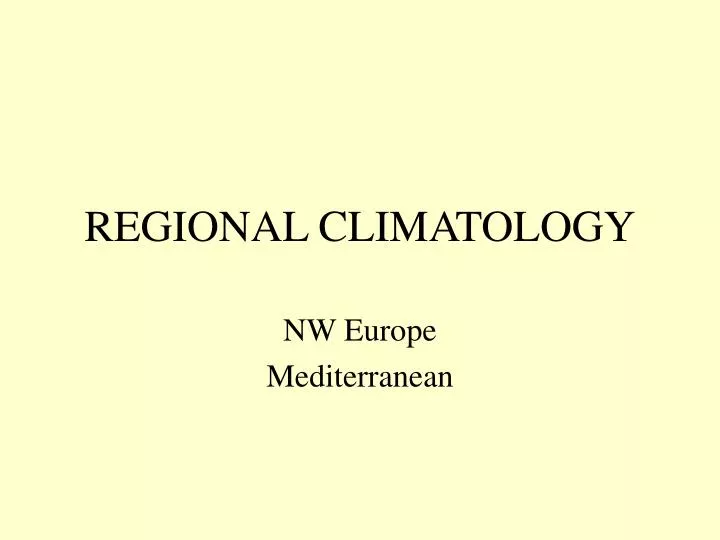
REGIONAL CLIMATOLOGY. NW Europe Mediterranean. MEDITERRANEAN - JULY. 40N. 30N. 0. 10E. 20E. 30E. 40E. MEDITERRANEAN - JANUARY. 40N. 30N. 0. 10E. 20E. 30E. 40E. Mediterranean Area - Local Winds. Mistral

E N D
REGIONAL CLIMATOLOGY NW Europe Mediterranean
MEDITERRANEAN - JULY 40N 30N 0 10E 20E 30E 40E
MEDITERRANEAN - JANUARY 40N 30N 0 10E 20E 30E 40E
Mediterranean Area - Local Winds • Mistral • The Mistral is a northerly wind blowing into the Mediterranean. It is principally a valley or funnel wind, blowing down the Rhone Valley and through the Toulouse Gap. It is enhanced by katabatic effect on the sides of the valley to speeds of 20-50 kts with gusts up to 70 kts. It occurs mainly in winter and early spring, often in conjunction with a Gulf of Genoa depression and/or a cold front moving south into the Mediterranean. • The Bora • The Bora is a cold northerly or north-easterly wind in winter and early spring from the high ground to the north of the Adriatic. A depression moving eastwards along the Mediterranean brings a northerly gradient behind it, and the resultant wind is intensified primarily by katabatic and, to a much lesser extent, funnel effects. It reaches an average speed of 70 knots with gusts up to 100 knots, and prohibits aircraft operations on coastal airfields in Italy and the former Yugoslavia around the Adriatic.
Mediterranean Area - Local Winds • Sirocco • The Sirocco occurs in the winter and is a warm, dry, dust-laden, southerly wind off N. Africa into the western Mediterranean, usually in advance of a travelling depression. Crossing the sea it is cooled from below, so that it is made stable but also moistened. It tends to produce dust-laden advection fog or shallow stratus if it penetrates as far as the northern Mediterranean. Such conditions are known as ‘the Marin’ in the south of France. • Khamsin • The southerly wind in winter which blows into the Mediterranean off the eastern part of Libya and Egypt, also in advance of depressions moving along the eastern Mediterranean, is known as the Khamsin, which comes from the arabic word for 50. A hot dry wind, it is often associated with sandstorms on the N. African coast. Such a wind is also known as the Gibli in western Libya.
Mediterranean Area - Local Winds • Levanter • The Levanter is an easterly wind which blows in the western Mediterranean and affects the southern coast of Spain, Gibraltar and the north coast of Africa. As it moves westward, it moistens and cools at the surface and advection fog or low status results. It is most frequent from July to October and in March. • Etesians • The Etesian winds blow from a northerly direction around the asiatic low pressure in summer. They affect the Eastern Mediterrean between 20° and 30°E (mainly across Greece, the Aegean Sea and Western Turkey, but they can reach the North African coast). Their speed is normally 10-20 kts but they can gust to gale force in the height of summer. Their name comes from the Greek word for ‘annual’ but the Turks call them the Meltemi..
Middle East - Local Winds • Shamal • The Shamal is a North/NW wind which blows in June to August around the Indian low pressure area and across Iraq. It brings dust or sandstorms which reduce visibility to 1,000-3,000 m.
Local Duststorms - Africa • Haboobs • During the ITCZ’s movement northwards across the Sudan in July, the strong up-currents and squally winds associated with its Cbs cause severe duststorms known as Haboobs. Dust impregnates the clouds to over 10,000 feet and the apparent wall of dust can be seen at distances in excess of 50 miles. • Harmattan • The cooling of the Sahara during the months November-March leads to high pressure and to a north-east wind towards the Atlantic coast. This is the Harmattan, and it is a very dust-laden wind, with visibilities from 4,000 m down to 1,000 m, which adversely affects aircraft operations on the coastal airfields of NW Africa to as far south as Lagos and other nearby areas.