Download
1 / 33
330 likes | 346 Vues
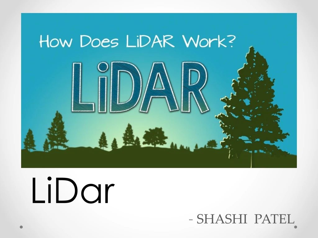
LiDar - SHASHI PATEL. CONTENT :. About Basic Details Technological Background How it Works ? Structure Usages Back Drops consequence Sources. About :. LiDAR Basically stands for : LI ght D etection A nd R anging . Micropulse LASERs

E N D
CONTENT : • About • Basic Details • Technological Background • How it Works ? • Structure • Usages • Back Drops • consequence • Sources
About : • LiDAR Basically stands for : LIghtDetection And Ranging . • Micropulse LASERs • Measurements of (usually) backscatter from clouds and aerosols in the transmission path
Basic Details : • Lidaris a remote sensing technology that measures distance by illuminating a target with a laser and analyzing the reflected light. Although thought by some to be an acronym of Light Detection And Ranging the term lidar was actually created as a portmanteau of "light" and "radar“. • Lidaris popularly used as a technology to make high-resolution maps, with applications inarchaeology, geography, geology, geomorphology, seismology, forestry, remote sensing, atmospheric physics,airborne laser swath mapping (ALSM), laser altimetry, and contour mapping
Technological Background : • The oldest known variation of modern LiDAR systems evolved in nature millions of years ago. Chiroptera, more commonly known as the bat, uses an echolocation guidance system now known as SONAR(SOundNavigation And Ranging). • They emit short, loud 'chirps' from their noses and receive an echo through their ears in the form of two antennae. This provides the bat with a three-dimensional view of the surrounding area, allowing them to avoid obstacles and easily find their prey.
(Cont.) • Humans started to develop similar systems in the beginning of the 20th century. Christian Huelsmeyer's "Telemobiloscope", developed in 1904, was the first form of RADAR (RAdioDetection And Ranging) sensor. This used radio waves outside the audible range. It consisted of an antenna, a receiver and a transmitter. Its original use was to detect metallic objects, in particular ships at sea, as a form of collision avoidance. • This early form of RADAR had a distance of 3000m, much less than today's modern alternatives. On the detection of an object it would sound a bell until the object left its path.
Technologies used : • 3 Technologies in LIDAR:- • Lasers – Laser sensor • Global Positioning System(GPS) – sensor position • Inertial Navigation System(INS) – exact sensor measurement [ INERTIAL MEASUREMENT UNIT - IMU ]
Christian Doppler : Austrian mathematician and physicist1842 – project started • LiDAR (Light Detection And Ranging) sensors work on the same principle as RADAR, firing a wavelength at an object and timing the delay in its return to the source to measure the distance between the two points. Because laser light has a much shorter wavelength it is possible to accurately measure much smaller objects, such as aerosols and cloud particles, which makes it especially suitable for airborne terrain mapping.
How it Works ? • Lidar uses ultraviolet, visible, or near infrared light to image objects. It can target a wide range of materials, including non-metallic objects, rocks, rain, chemical compounds, aerosols, clouds and even single molecules. • A narrow laser-beam can map physical features with very high resolutions; for example, an aircraft can map terrain at 30 cm resolution or better. • Lidar has been used extensively for atmospheric research and meteorology. Lidar instruments fitted to aircraft and satellitescarryout surveying and mapping – a recent example being the U.S. Geological Survey Experimental Advanced Airborne Research Lidar.
(Cont.) • NASA has identified lidar as a key technology for enabling autonomous precision safe landing of future robotic and crewed lunar-landing vehicles.
Airborne Laser Scanning : • ALS/LiDAR is an active remote sensing technology that measures distance with reflected laser light. LiDAR: 1stdeveloped in 1960 by Hughes Aircraft inc. • Modern computers and DGPS make it practical. • Typically used in very accurate mapping of topography. • New technologies and applications are currently being developed.
Terrestrial : • This lidar may be used to scan buildings, rock formations, etc., to produce a 3D model.
Why use a Laser ? • ALS systems take advantage of two of the unique properties of laser light: • 1. The laser is monochromatic. It is one specific wavelength of light. The wavelength of light is determined by the lasing material used. • Advantage: We know how specific wavelengths interact with the atmosphere and with materials. • 2. The light is very directional. A laser has a very narrow beam which remains concentrated over long distances. A flashlight (or Radar) on the other hand, releases energy in many directions, and the energy is weakened by diffusion. • Advantage: The beam maintains its strength over long distances.
Basic Architecture of LIDAR : Receiver Transmitter Data Acquisition & Control System
Usages : • Agriculture : Create a Topographical map of the fields and reveals the slopes and sun exposure of the farm land. • Autonomous vehicles : Autonomous vehicles use lidar for obstacle detection and avoidance to navigate safely through environments. • Biology and conservation : • Geology and soil science : ICES at(Ice, Cloud, and land Elevation Satellite)
(Cont.) • Law enforcement: Lidar speed guns • Military : • Physics and astronomy • Robotics and Spaceflight : • many more..
Agriculture • Create a topological map of the fields
Geology • Detect fault and measure uplift • Monitors glaciers • Use Terrestrial & airborne lidars Terrestrial Lidar
Military & Law enforcement • Lidar speed gun-measure speed of vehicles • Identifying one vehicle from the traffic stream Police officer using a hand-held LIDAR speed gun
Physics & astronomy • Measure the distance to reflectors placed on the moon • Used in Mars-Orbiting Satellite • Used to detect snow in Mars atmosphere • Used to measure molecular density • calculate temperature Astronomical Lidar
Meteorology • Used for studies of atmospherics conditions , clouds and aerosols. • Used for measurement of atm. Gases • Measures wind speed • Use Mie scattering ,DIAL and space-based Doppler wind Lidar(DWL)
Biology & Conservation • Used to retrieve forest canopy structural information • Use airborne lidars
Hydrology • Used for Under water investigation : flood risk mapping • Use Bathymetric Lidar
Robotics • Allowing it to map the surrounding area and avoid obstacles. • Use Mobile Lidar LIDAR-equipped mobile robot
Use of LiDAR in… Google driverless car • Google's robotic cars have about $150,000 in equipment including a $70,000 lidar (light radar) system. The range finder mounted on the top is a Velodyne 64-beam laser. This laser allows the vehicle to generate a detailed 3D map of its environment. • The car then takes these generated maps and combines them with high-resolution maps of the world, producing different types of data models that allow it to drive itself.
Work : • Laser-generates an optical pulse • Return pulse • High speed counter • Calculate Distance :- • * Distance=(Speed of Light * Time of flight) / 2 • * Speed of light : 3 x 10⁸m/s Dist.=t2way / 2 * c
Back Drops : • most lidar data are collected at night, but unlike radar, lidarcannot penetrate clouds, rain, or dense haze and must be flown during fair weather.
Consequence : • Lidar (also written LIDAR, LiDAR or LADAR) is a remote sensing technology that measures distance by illuminating a target with a laser and analyzing the reflected light.
References / Sources : • http://geography.tamu.edu/class/aklein/geog361/lecture_notes.html • http://ieeexplore.ieee.org • http://home.iitk.ac.in/~blohani/LiDARSchool2008/index.html • http://lidar.cr.usgs.gov/index.php