Download
1 / 20
200 likes | 421 Vues
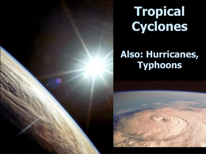
Tropical Cyclones Also: Hurricanes, Typhoons. Tropical Cyclone Ingredients. Light winds instability along I.T.C.Z. High humidity (oceans) fuel (latent heat) Warm surface waters over a vast area (at least 26ºC / 76ºF tropics, < 25 ºN or S)

E N D
Tropical Cyclone Ingredients • Light winds instability along I.T.C.Z. • High humidity (oceans) fuel (latent heat) • Warm surface waters over a vast area(at least 26ºC / 76ºF tropics, < 25 ºN or S) • Will not form within 5o of equator(no Coriolis)
Tropical Cyclone Features • Spiral bands • No Fronts • Eye wall cloud • Eye • Size: 100-600miles, but can be larger Death Toll: 12,000
Tropical Cyclone Formation • Easterly waves (fig. 8-24) • vertical perturbations within the trade winds • about 10% intensify and rotate • Tropical depression (winds < 63 kmph, 39 mph) • Tropical storm (63-118 kmph, 39-73 mph) • naming of the storm • Cyclone (winds > 119 kmph, 74 mph) • Saffir-Simpson scale (Table 8-1) • ranks 1 to 5 (5 is “catastrophic”)
Hurricanes, Typhoons & Cyclones World Map shows locations of Hurricanes, Typhoons & Cyclones Names Reflect Locations All are the Same type Of storm
Paths of Hurricanes: North Atlantic North Atlantic hurricanes develop 5 to 10 degrees north of The equator & travel to the west, yet as they move farther North they change directions & move eastward Most do not make landfall
Hurricanes:CoastalDamage/Death Coastal damage can be extensive as high winds, high Tides And ‘storm surges’ push ocean water far inland Galveston, Texas Was struck in 1900 & 6,000 were killed In 1970 a Hurricane Hit Bangladesh & Killed 300,000 in 1991 200,000 died (Note that many people in Australia, Mexico, and S.E. Asia depend on the hurricanes for live-giving moisture each year.)
Tropical Cyclone Hazards • Storm surge (up to 20 feet) • pressure (1 cm rise per 1 mb drop in pressure) • winds / friction • rain / floodingcauses mostdamage! • winds • tornadoes
Tropical Cyclone Power • Power • one hour = total USA electricity for one year • one day = nuclear arsenals of USA and Russia • Highest U.S.death toll: Galveston, TX, 1900 - 20 ft. storm surge killed 6,000 (1/6 the population)
2005 Atlantic Hurricane Season • Most named tropical storms in history (28); including most intense ever (Wilma: 882 millibars; 185 mph sustained winds) and most Category 5 storms (4) ever • New Orleans destroyed; worst U.S. hurricane damage ever. Cost estimated at: $100,000,000,000 • Death toll: at least 2048 confirmed dead as of 4/2006; most were among poorest elderly people.
Forecasting and Safety • Tracking • satellites • coastal radar • Prediction • computer modeling • City evacuation plans
Extratropical v. tropical cyclones Midlatitude cyclone • Forms outside the tropics.• Largest diameter of all storms• No eye• Has distinct fronts. Tropical cyclone• Forms over a tropical ocean. • Eye and dramatic pressure drop (900 mb or lower) • Has no fronts. • Smaller average size, but much higher winds.
Hurricane Links Hurricane & Storm Tracking for the Atlantic & Pacific Oceans - Shows all current hurricanes and their tracksUS National Hurricane Center - North Atlantic, Eastern Pacific The Hurricane Hut - Information on all past storms to 1950, along with images and individual storm summaries. Create-a-Cane Interactive fun site from NOAA, allows to specify conditions and see how they impact storm formation NASA Hurricane Web Page - Data, research, science & multimedia resources from NASA WMO guide on cyclone terminologyNOVA scienceNOW: Hurricanes