Download
1 / 23
230 likes | 312 Vues
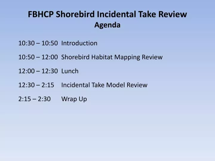
FBHCP Shorebird Incidental Take Review Agenda. 10:30 – 10:50 Introduction 10:50 – 12:00 Shorebird Habitat Mapping Review 12:00 – 12:30 Lunch 12:30 – 2:15 Incidental Take Model Review 2:15 – 2:30 Wrap Up. FBHCP Shorebird Habitat Mapping Draft Methods for Review

E N D
FBHCP Shorebird Incidental Take Review Agenda 10:30 – 10:50 Introduction 10:50 – 12:00 Shorebird Habitat Mapping Review 12:00 – 12:30 Lunch 12:30 – 2:15 Incidental Take Model Review 2:15 – 2:30 Wrap Up
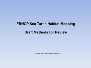
FBHCP Shorebird Habitat Mapping Draft Methods for Review Limited distribution to shorebird experts participating in FBHCP review Prepared by A. Knight, FNAI, 14 October 2013
Shorebird and Seabird Habitat Maps in FBHCP Occupied Habitat within Plan Area: Used for incidental take calculation, estimating impacts over 25 years Mapped by species group: Non-breeding, Solitary Nesting, Colonial Nesting Maps intended to represent 2010 ground conditions
FBHCP Plan Area FDEP Coastal Construction Control Line in 25 Counties. Monroe County also included for Coastal Erosion Areas.
FBHCP Plan Area occurs from CCCL seaward to 2010 Mean High Water Line and excludes Federal Lands.
Shorebird Habitat Definitions Physical and Biological Features For the purposes of the FBHCP, potential shorebird habitat is defined as the area between the MHWL and the landward extent of the beach dune system, including areas of both open sand and moderate vegetation. Habitat also includes estuarine beaches of barrier islands associated with known nest locations. However, it does not include non-natural sites, such as rooftops and spoil islands, or foraging and roosting areas seaward of the MHWL, such as tidal mud flats. This definition applies to both nesting and non-breeding shorebirds.
Shorebird Habitat Definitions Geographic Extent Non-breeding Shorebirds: Given the inadequacy of non-breeding survey data and considering that the suite of shorebird species covered under the FBHCP is likely to use sandy beaches throughout the state, the geographic extent of habitat for non-breeding shorebirds was considered all beaches adjoining the waters of the Atlantic Ocean, the Gulf of Mexico, and the Straits of Florida within the Plan Area, including inlet shorelines. Breeding Shorebirds: Occupied nesting habitat was defined as suitable habitat occurring in the vicinity of documented nest locations, where vicinity is determined by colony size (if applicable), appropriate disturbance buffers, and roving chick requirements.
Shorebird Habitat: Expert Input To-Date • Workshop- Nov 6, 2012 • Filling location data gaps • Buffer distances follow-up • Inter-nest distance follow-up Many people contributed data and email correspondence in a significant way.
Non-breeding shorebird habitat covers all sandy beaches in FBHCP counties. Nesting shorebird habitat is a subset of non-breeding habitat based on buffering nest locations.
Nest locations first buffered by primary nest buffer of 91 m associated with disturbance avoidance Nest locations are first buffered by 91m based on disturbance avoidance radius Primary Buffer – 91m
Primary buffer expanded by 729 m based on avg. chick roving distance Primary Buffer – 91m Primary
Non-breeding habitat is clipped by buffer to create solitary nesting shorebird habitat Primary
Only habitat within Plan Area is used in incidental take calculations
Colonial nesting locations are first buffered according to number of nests to approximate colony area (see last 2 slides), then buffers are expanded by primary and chick roving distances. Primary
Non-breeding habitat is clipped by buffer to create colonial nesting shorebird habitat Primary
Only habitat within Plan Area is used in incidental take calculations
Colony Area Approximation Example for 200 Nests 75m
Colony Area Approximation Example for 200 Nests • ‘Beach-shaped’ rectangle plotted to accommodate ca. 200 nests. • Half the shore parallel length of rectangle used as buffer to approximate colony area. • Colony area buffer is a relative approximation to allow some consideration of colony size in final habitat map. • Conservative approach to account for uncertainty. • Relative to additional buffers for primary and chick roving (total 912 m) colony size buffer is small. Maximum for colonies >500 nests is 175 m radius. 75m