Download
1 / 16
160 likes | 320 Vues
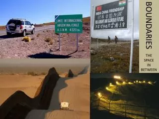
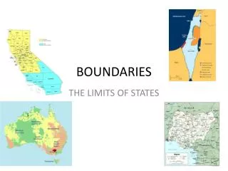
Wildfire Boundaries. Acquisition, Usage, and Web Display. Daniel Kozlowski HAS Meteorologist California Nevada River Forecast Center. Wildfire Boundaries. Acquisition USGS Anonymous FTP Server ( ftp.geomac.gov ) Data Available for the Period 2000 to Current Year

E N D
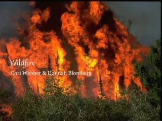
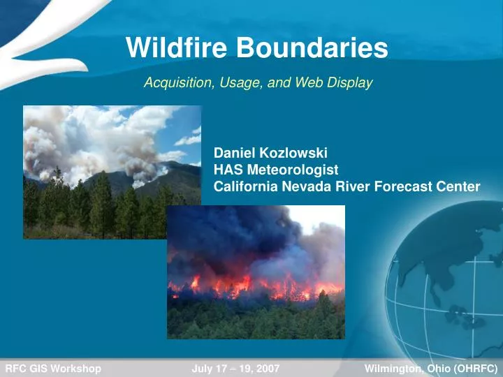
Wildfire Boundaries Acquisition, Usage, and Web Display Daniel Kozlowski HAS Meteorologist California Nevada River Forecast Center
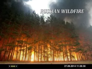
Wildfire Boundaries Acquisition • USGS Anonymous FTP Server ( ftp.geomac.gov) • Data Available for the Period 2000 to Current Year • ALL Regions of the United States Are Available Wildfires Are Not Just An Issue In the West! • Directory Structure… /outgoing/yyyy_fire_data/StateName/FireName For Example… 2007 California Angora
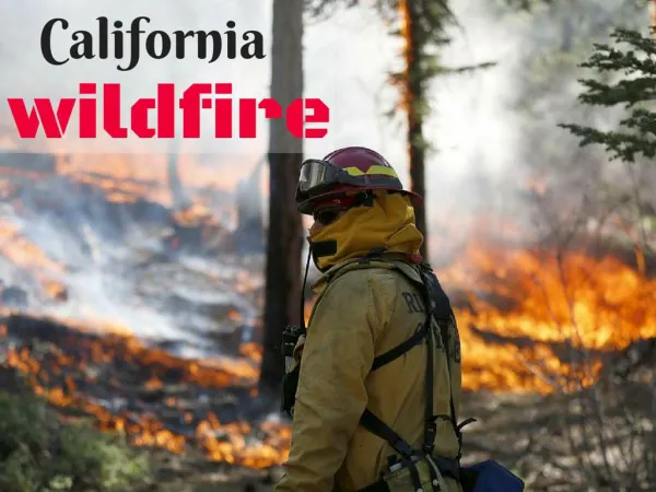
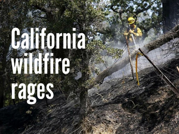
Wildfire Boundaries Example 1: Angora Fire (South Lake Tahoe – June 2007) • 3,100 Acres Burned • 242 Residences and 67 Commercial Structures Destroyed
Example 2: Big Turnaround Fire (SE GA / NE FL– Apr to Jul 2007) Approximately 390,000 Acres Burned At Least 18 Homes Destroyed and Parts of Okefenokee National Wildlife Refuge Wildfire Boundaries
Wildfire Boundaries Timeline of Wildfire to Debris Flow • Grand Prix Fire – Began October 21, 2003 • Old Fire – Began October 25, 2003 • Fires Merged on October 26, 2003 • Affected Lytle Creek, Cable Canyon, and Waterman Canyon Areas
Wildfire Boundaries Timeline of Wildfire to Debris Flow • 100 Percent Containment on November 8, 2003 • Approximately 150,000 Acres Burned • Over 1100 Homes and 10 Commercial Buildings Destroyed • Four Fatalities and Forty Injuries Due to Fire
Wildfire Boundaries Timeline of Wildfire to Debris Flow • Nearly 10” of Rainfall Over the Burn Areas on Christmas Day • Gage Data: Lytle Creek – 8.58” and Devore Water Co – 5.79” • 33 of 34 Basins In Foothills of San Bernardino Mountains Filled With Debris • Hardest Hit Basins: Lytle Creek, Cable Canyon, and Waterman Canyon
Wildfire Boundaries Lytle Creek Courtesy of Google Earth • Rainfall Rates Up To 1.00” / Hour • Flash Flooding and Debris Flows Observed As Trees, Rocks, and Mud Flowed Across Several Roads and Highways
Wildfire Boundaries Cable Canyon Courtesy of Google Earth • Rainfall Rates .20” to .70” / Hour • Flash Flood and Debris Flow Resulted in a Mudslide • Moved Thru a KOA Campground • 2 People, 1 Bear, and 1 Horse Killed • 32 Travel Trailers, Multiple Vehicles, and Roads Destroyed
Wildfire Boundaries Waterman Canyon Courtesy of Google Earth • Rainfall Rates .20” to .70” / Hour • Resulted in Mud, Water, and Rock Slides in the Canyon • Moved Through Saint Sofia Camp Killing 14 People • Debris Flow Destroyed 2 Bridges and Finally Spanned Out Just North of the city of San Bernardino
Wildfire Boundaries Aftermath…
Wildfire Boundaries Use of GIS Data on Internet Graphics • Precipitation Gage Graphics
Wildfire Boundaries Use of GIS Data on Internet Graphics • Precipitation Grid Graphics (QPE and QPF)
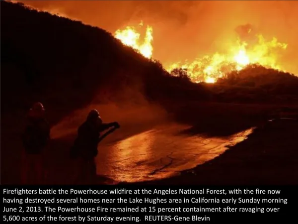
Wildfire Boundaries Use of GIS Data on Internet Graphics • Flash Flood Guidance Adjustments • In coordination with USGS, initial FFG of 0.25” to 0.50” per hour over 2003 burn areas Oct 2003 Cedar Fire - San Diego County • Second Largest Fire in California History • Nearly 725,000 Acres Burned • Over 3500 Homes Destroyed • 15 People Killed
Wildfire Boundaries Use of GIS Data on AWIPS • D2D Background Map
Wildfire Boundaries Questions??? Thank You!!!