Download
1 / 14
140 likes | 144 Vues
Explore the critical issues facing our planet and the science projects underway to address these challenges. Learn about geothermal energy, sea-level rise, landslides, water availability, minerals, pollination, wildfires, hydraulic fracturing, earthquakes, droughts & floods, and ecosystem restoration.

E N D
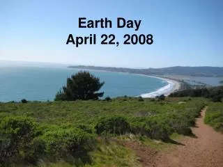
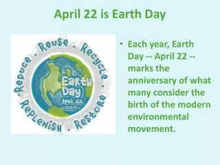
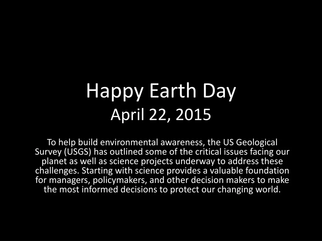
Happy Earth Day April 22, 2015 To help build environmental awareness, the US Geological Survey (USGS) has outlined some of the critical issues facing our planet as well as science projects underway to address these challenges. Starting with science provides a valuable foundation for managers, policymakers, and other decision makers to make the most informed decisions to protect our changing world.
Geothermal Energy Deep within the Earth’s crust lies an extremely important but underutilized renewable energy resource: geothermal energy. In 2008, the USGS released a national assessment of geothermal power resources, showing more than 550,000 Megawatts–electric power–generating potential. Since then, the USGS has continued to research and assess geothermal power potential all over the country.
Sea-level Rise Even small amounts of sea-level rise can have significant societal and economic impacts. Think about coastal erosion, vulnerability to storms, saltwater intruding into groundwater, loss of wetlands, and stresses on infrastructure. Two of the main causes of sea-level rise are the warming of oceans and the melting of land-based ice sheets and glaciers. The USGS calculates coastal vulnerability levels and provides science on historical, present, and potential future conditions. The USGS Coastal Change Hazards Portal allows people to visualize these changes
Landslides Landslides occur in all 50 States and U.S. Territories. Each year they cause fatalities and result in billions of dollars in damage. USGS science helps communities understand their vulnerability and prepare for landslides as well as other natural hazards, such as volcanic eruptions, floods, coastal storms, and earthquakes.
Water Availability Water is critical for human consumption, agriculture, energy, and industry; it is fundamental for ecosystem health, biodiversity, and resilience. USGS scientists study all aspects of water, including its quality and quantity, its location and flow, its use, and even its history. The USGS is the primary Federal science agency for water information.
Minerals The USGS delivers unbiased science and information to understand mineral resource potential, production, and consumption, as well as how mineral resources interact with the environment. USGS focuses on helping ensure a sustainable supply of critical minerals, such as rare earth elements, which are vital to supporting the Nation’s economy and security.
Pollination Nations would crumble without pollination by bees, birds, butterflies, bats, and beetles, which provide vital but often invisible services. Wherever flowering plants flourish, pollinators are hard at work. USGS and partners study monarch butterflies, native bees, and other pollinators to help sustain and keep ecosystems resilient. For example, bee pollination is responsible for $15 billion in increased crop value each year in the United States.
Wildfire Wildfire is an integral part of ecosystem processes, but it poses a significant hazard to human life, property, and natural resources. Based on data from the USGS-NASA Landsat series of earth-observing satellites, fire management agencies are provided with critical information to calculate risk, prevent fires, reduce suppression costs, and restore ecosystems in the aftermath of wildfires.
Hydraulic Fracturing Hydraulic fracturing—or fracking— involves injecting water, sand, and chemicals at high pressure into wells to increase oil and gas flow. Fracking combined with directional drilling has made “unconventional” resources like shale gas and shale oil among the fastest growing energy sources in the Nation. The USGS researches the formation, occurrence, and exploitation of unconventional oil and gas as well as potential environmental impacts and associated waste disposal activities.
Earthquakes Imagine if doctors could stop procedures before an earthquake. Imagine if emergency responders had a few extra moments to gear–up, trains could be slowed or stopped, airplane landings could be redirected, and people could move to safer locations. The USGS and its partners are working to develop a prototype Earthquake Early Warning System for the U.S. West Coast, called ShakeAlert.
Droughts & Floods Droughts and floods rank first and second, respectively, as the most costly natural hazards the Nation faces. The USGS provides unbiased information about the Nation’s rivers and streams from more than 8,000 carefully sited streamgages and tracks the status of the Nation’s aquifers by monitoring more than 20,000 wells. Reliable and immediate, this information can help save lives and property from floods and help mitigate the costly effects of drought.
Ecosystem Restoration Healthy ecosystems are critical to life on Earth. They provide habitat, regulate the climate, mitigate floods and drought, and purify air and water. Florida’s Everglades is a major science focus for the USGS. Scientists are helping to understand current threats, predict future changes, and inform management decisions. The American alligator, wading birds, and the Florida panther are examples of Everglades keystone species. This area is vulnerable to invasive species, such as the Burmese python, as well as decreasing water flow, water quality, and species populations.
Mapping The 3D Elevation Program (3DEP) partnership, led by the USGS, is responding to the growing need for high-quality topographic data and other 3D representations of the Nation’s natural and constructed features. The 3D data are collected nationwide using airborne lasers (lidar) or radar (ifsar). The enhanced accuracy of the data will aid communities, commercial enterprises, natural resource managers, and private citizens.
Posted on April 20, 2015 By: Jessica Robertson (jrobertson@usgs.gov), PK Cascio, Jon Campbell, Cynthia Manuel and Karen Armstrong USGS Science Featureshttp://www.usgs.gov/blogs/features/usgs_top_story/happy-earth-day-2015/