Download
1 / 66
660 likes | 777 Vues
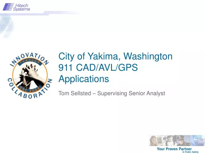
City of Yakima, Washington 911 CAD/AVL/GPS Applications. Tom Sellsted – Supervising Senior Analyst. Information About Yakima, WA. Located in Central Washington Agriculturally Based Apples, Pears, Soft Fruits, Hops and Livestock Area Climate Semi-arid 8 inches of rain

E N D
City of Yakima, Washington911 CAD/AVL/GPSApplications Tom Sellsted – Supervising Senior Analyst
Information About Yakima, WA • Located in Central Washington • Agriculturally Based • Apples, Pears, Soft Fruits, Hops and Livestock • Area Climate • Semi-arid • 8 inches of rain • 300+days of sunshine • Population Statistics • Yakima – 81,000 • Urban Area - 115,000 • Yakima County – 215,000
Dispatch Information • Calls taken in 2003 • Police calls – 86,897 • Fire calls – 13,314 • 911 calls – 131,592
Objectives • GIS Basics • Geo-coding • AVL Server Concepts • Unit Recommendation Concepts • Dispatch Mapping (CadGIS)
A Definition of GIS GIS is a System of computer software, hardware and data, and personnel to help manipulate, analyze and present information that is tied to a spatial location – • spatial location – usually a geographic location • information – visualization of analysis of data • system – linking software, hardware, data • personnel – a thinking explorer who is key to the power of GIS
Geographic Information Systems • A method to visualize, manipulate, analyze and display spatial data • “Smart Maps” that link databases to a map • How many, what kinds, where are they? • Combine data from many different sources • 80% of all data has some spatial component
Data – Data – Data • Location Data • How many – What kind – Where • Scale of Data • Local to Global • Data Presentation • Words, Charts, Graphs, Tables or Maps Exploring Data with GIS turns data into Information into knowledge
What is NOT GIS… • GPS – Global Positioning System • A Static Map – Paper or Digital • Maps are often a product of GIS • A way to visualize the Analysis • A Software Package
Two Ways to Input and Visualize Data • Raster – Grid • “pixels” • A location and value • Satellite image and aerial photos are in this format • Vector – Linear • Points, Lines & Polygons • “Features” (house,lake, etc) • Attributes • size, type, length, etc.
Sources of Data • All departments contribute • One central repository • Ease of sharing • Ease of maintenance • Other agencies • Vendors
Geographic Inquiry means delving into • Knowing where • Seeing Patterns • Finding Relationships • Querying Geography • Monitoring Change • Linking Observation and Research
Geocoding Primer • Each line has specific attributes • Line direction is important • Use accurate address ranges to prevent stacking • Interpolation is used for placement of approximate address
Adding other attributes… • Maintain Area, District, Beat, etc… • Done to minimize maintenance • One file to import • Two passes through one file • for hundred block • for intersection • Zip codes versus Jurisdictions
CAD GEOFILE GIS Interface • Originally tried to match events • Poor match rate 50-60% • Inconsistent addresses • Spatial and tabular alignment necessary
CAD GEOFILE GIS Interface (contd) • Street Centerlines used to update GEOFILE • Contains address ranges and area/district information • Key to standardizing addresses • Improves quality of spatial and tabular data • Get 99.5% match rate • Improves quality of other geocoding applications • Simplest way to turn tabular data into spatial data
Updating the Geofile things to be aware of… • Does not delete records • Intersections – 2 way vs 3 way • Matching nodes create intersections • Change in the beginning block number creates a new Geofile record. • May be overlapping • Does not change “AD” types • BOLO verify to HB • AD verified to HB Continued…
Things to be aware of… continued • Modifying AD – does not check to HB for area, district, beat, zip code…
Updating the Geofile • Still do manual corrections but then update the street centerlines • Somewhat manual process – hope to fully integrate • Very quick to update when boundaries change
How do you get started? • Street Centerlines are a must • Several Vendors sell accurate streets files • Mark Boundaries for beats, areas districts etc… • Match against current events • Make corrections as necessary
Geocoding Conclusions… • Simplified from our first methodology • Build a better match rate the is constantly improving • Changing area, district, beat boundaries is visual and much simpler • Improved quality for other geocoding applications • Not as scary as it might sound
Automated Vehicle Locations • Need to have accurate ambulance locations • Uses CDPD communication technology • GPS option was inexpensive • GPS Accuracy • +/- 15 foot position quality • Differential Corrections not necessary • DoD Selective Availability • Easy to setup each vehicle. • Side benefits: Unit recommendation, unit/event analysis, and pursuit path analyses
CDPD GPS AVL Equipment CDPD Antenna GPS Antenna
AVL Server • Single, central application • Receives and processes all GPS messages • Displays GPS status of units • Allows for configuration of units remotely • Forwards location information to CAD server and other locations if needed.
Unit Recommendations • Methods of choosing which vehicles to send to an event: • General Area • Proximity to an event • Modeled impedance and route
Dispatched by Impedance AM01 8.56 minutes 6.47 miles ALS7 6.40 minutes 5.77 miles
Impedance Routing • Impedance routing • Choose units by a modeled path • Turning movements • Road closures • One way streets • Show optimum calculated path • Create driving directions for path • Index of streets can be easily updated
SafetyNet Interface • CAD Queries • Travel times for a number of units to an address • Driving directions for a unit to an address • Address based on vehicle’s position • Open and closing of streets
Reverse Geo-coding ‘=‘ triggers CAD to retrieve the last known GPS position of the unit
Unit Recommendation Proofing • Create map showing event and vehicle positions • Circle the outermost unit dispatched. • Any available units inside the circle? • Results and features • show paths taken in a pursuit • multiple vehicles can be shown • event and unit analysis
CadGIS – Dispatch Mapping • Integrated Mapping Application • Can be used as a stand alone mapping application • Integrated with SafetyNet CAD to display events and vehicles in real time • Generically designed (not specifically for Yakima) • Each user can customize the map display