Download
1 / 49
520 likes | 536 Vues
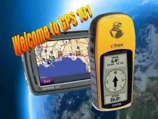
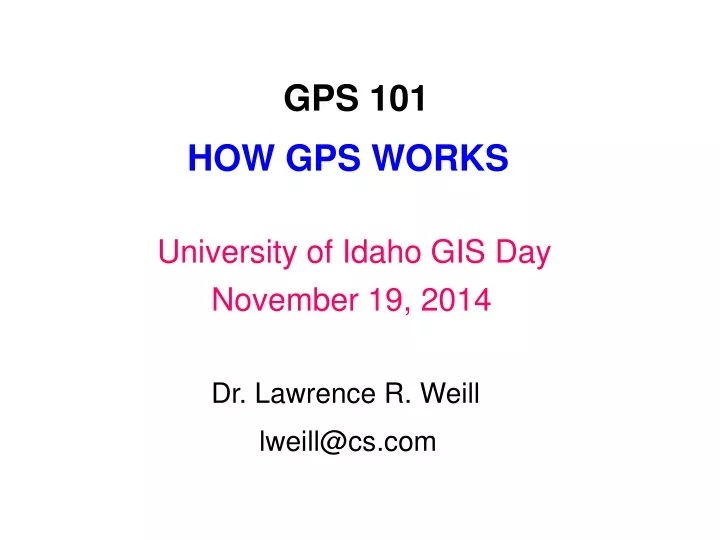
GPS 101. HOW GPS WORKS. University of Idaho GIS Day. November 19, 2014. Dr. Lawrence R. Weill. lweill@cs.com. PRE-SATELLITE RADIONAVIGATION SYSTEMS. LF Radio Direction Finding (~1900 to present): Angle-based position fixing and homing.

E N D
GPS 101 HOW GPS WORKS University of Idaho GIS Day November 19, 2014 Dr. Lawrence R. Weill lweill@cs.com
PRE-SATELLITE RADIONAVIGATION SYSTEMS LF Radio Direction Finding (~1900 to present): Angle-based position fixing and homing. Radar (1934-1939 to present): Angle- and range-based positioning relative to surrounding objects. Omega (1971 to 1997): Hyperbolic phase-difference positioning on a global scale. DECCA (1944-2001): European hyperbolic phase difference positioning. Loran A (1942 to 1980), Loran C (1974 to present): Hyperbolic TOA difference positioning. VOR/DME (1946 to present): Aviation angle- and range-based position fixing and homing using VHF and UHF frequencies. TACAN (~1960 to present): Military version of VOR/DME.
ACCURACY OF PRE-SATELLITE RADIONAVIGATION SYSTEMS
DOPPLER-BASED SATELLITE NAVIGATION Sputnik gave rise to satellite radionavigation using Doppler. 1957: Scientists at MIT noted frequency variation of Sputnik’s signal due to Doppler, and realized this can be used to track the satellite’s location. In reverse, the received Doppler frequency variation can be used to find the position of the receiver. 1959: The Doppler principle for finding location was used in TRANSIT, the first operational satellite-based navigation system. It was developed by Johns Hopkins Applied Physics Laboratory (APL) to support the U.S. Navy submarine fleet, and eventually used 10 low-earth orbit satellites. Transit positioning accuracy was roughly 400 meters. Ships had to wait for satellite passes and resolve a cross-track ambiguity. Ship movement complicated the process of establishing a position.
EVOLUTION OF GPS (1) 1960: Raytheon Corporation suggests the first 3-D TDOA satellite navigation system (MOSAIC) for the Mobile Minuteman ICBM system. MOSAIC was dropped in 1961 when the Mobile Minuteman program was cancelled. 1963: Aerospace Corporation develops its concept of a 3-D satellite navigation system. The Air Force supports this effort and designates it System 621B, which later demonstrated a new pseudorandom noise (PRN) ranging signal. 1964: The Naval Research Laboratory (NRL) develops the Navy Timation satellite system for advancing the development of high-stability clocks in space, an important foundation for GPS. The first Timation satellite is launched in 1967. 1964-1973: Various groups, including the Army, Navy, and Air Force, are engaged in satellite navigation concept debates.
EVOLUTION OF GPS (2) December 17, 1973: The NAVSTAR GPS concept is solidified. 1973 to 1979: GPS concept validation takes place. July 14, 1974: The very first NAVSTAR satellite is launched, carrying an atomic clock. 1978 to 1985: 10 Block I GPS satellites, used for full-scale development and testing of the GPS system, are launched. 1989 to 1994: 24 Block II operational satellites are launched. December 1990: GPS system becomes operational. April 1995: GPS reaches full operational capability.
GPS Constellation 6 Orbits 55o Inclination 20,200 km Altitude ~ 32 Sats 11 hr 56 min Orbital Period
2D POSITIONING EQUATIONS GPS also provides very accurate time!
ONE PERIOD OF C/A CODE Each satellite has its own unique C/A code
WHY USE A PSEUDORANDOM CODE? ● A pseudorandom code can have much greater energy than a short pulse while still providing high-resolution measurement of range. ● The high resolution is accomplished by a correlation process. ● Correlation also provides protection from any interfering signal that does not match the pseudorandom code being used. ● By using a unique pseudorandom code for each satellite, all satellites can transmit on the same frequency without mutual interference.
-3 chip misalignment Sum of chip products = -4 Alignment Sum of chip products = 35 +3 chip misalignment Sum of chip products = -4
EARLY-LATE CODE TRACKING
GPS RECEIVER OPERATIONS AT TURNON ● Determine visible satellites and approximate Dopplers: Uses approximate receiver position (if known) and stored almanac data. ● Signal acquisition: Search for each visible satellite, both in frequency and code shift. ● Signal tracking: Track the code and carrier of each satellite. ● Bit synchronization: Determine start times of bits in the 50 bps navigation data message. ● Read navigation data message: Get timing and ephemeris data to put transmit time tags on received code epochs and establish positions of satellites. Ephemeris data may take up to 30 seconds. ● Make code and/or carrier pseudorange measurements. ● Solve positioning equations.
PSEUDORANGE ERROR SOURCES Ionospheric Error: Up to 20-30 meters. Reduced by dual-frequency operation, reference station corrections, and differential GPS (DGPS). Tropospheric Error: Up to 20 meters. Reduced by tropospheric model corrections, using higher-elevation satellites, and DGPS. Multipath: Up to 30-40 meters. Reduced by avoiding nearby reflectors, using receiver multipath mitigation technology, and using higher bandwidth signals. Not reducible by DGPS. Satellite Clock and Ephemeris Errors: Generally below 1 meter. Almost completely eliminated by DGPS. Receiver Errors (Thermal Noise, Processing): Generally below 1-3 meters. Reduced by improved signal processing in HW or SW.
POSITION DILUTION OF PRECISION (PDOP) PDOP is a number indicating the ratio of position accuracy to pseudorange accuracy. It depends on satellite position geometry. Poor Geometry (PDOP = ~18) Good Geometry (PDOP = ~3)
CODE-BASED DIFFERENTIAL GPS (Sub-meter Positioning Accuracy)
DIFFERENTIAL CARRIER PHASE POSITIONING (Centimeter-level Accuracy)
GPS MODERNIZATION: NEW CIVILIAN SIGNALS L1 C/A: The legacy civil signal, which will continue to be broadcast on L1 frequency 1575.42 MHz. L2C:● Signal on L2 frequency 1227.60 MHz, currently broadcast by seven satellites. ● Enables L1/L2 ionospheric error corrections. ● Higher transmitted power level for faster signal acquisition and better positioning accuracy. L5:● Signal on L5 frequency 1176.45 MHz. ● Technically advanced signal with higher power and greater bandwidth L1C:● Signal at L1 frequency designed to enable interoperability betweeen GPS and international GNSS systems.
MAGELLAN SYSTEMS ● Ad in Los Angeles Times, 1986 ● Technical Founders of Magellan Systems: Don Rea (hardware), Norm Hunt (software), Larry Weill (algorithms) ● Seed money from Ed Tuck ● Design challenges with steep learning curve ● Difficulty finding investors willing to commit ● Don’s breadboard
Magellan NAV 1000: World’s first handheld GPS receiver, first sold in 1989. Single-channel slow sequencing design. Approximately the size of a brick. Weight approximately 1 ½ lbs. Rotatable quadrifilar antenna. Dot-matrix LCD display. Powered by 6 AA alkaline cells. Battery life approximately 4 hrs. TTFF from cold start 1 to 3 min.
MEMORABLE EVENTS ● Discovery of map error ● Communicating with aliens ● Saving lives ● NAV 1000 in the Gulf War—Iraq invades Kuwait in 1990 ● Two new products designed under the radar ● BTG vs. Magellan ● Magellan in the Time and Navigation exhibit at the Smithsonian National Air and Space Museum