Download
1 / 37
370 likes | 522 Vues
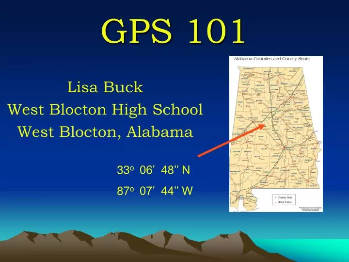
GPS 101. Lisa Buck West Blocton High School West Blocton, Alabama. 33 o 06’ 48’’ N 87 o 07’ 44’’ W. Vocabulary. Waypoint Tracks Route Trip Computer. Navigation Button. What is a GPS How Do You Use It And What Do You Do With It?. Mark Waypoint. A GPS is a ….

E N D
GPS 101 Lisa Buck West Blocton High School West Blocton, Alabama 33o 06’ 48’’ N 87o 07’ 44’’ W
Vocabulary • Waypoint • Tracks • Route • Trip Computer
Mark Waypoint
A GPS is a … Electronic instrument to determine a location based on information it receives from satellites Stands for “Global Positioning System” Is the electronic replacement for compasses in determining location Is the electronic replacement for astronomy in determining location
The Recreational GPS • When powered on will take several minutes to “lock onto” satellites. These satellites are 11,000 miles in orbit • Used to find Longitude and Latitude But for a variety of reasons • To map data • To make maps • To find the car • To find a prize
What To Do • Math – Finding Areas, Measuring Distances • History – Studying Columbus or Lewis & Clark • Geography
Longitude and Latitude http://www.hammondmap.com/sites/hammond/geography/latlong1.html
http://kids.earth.nasa.gov/archive/nino/global.html Global Wind Patterns • Trade Winds - About thirty degrees north & south of equator. • Prevailing Westerlies - Between thirty & sixty degrees latitude, winds that move toward poles appear to curve to east. Winds are named from direction they originate. • Easterlies - About sixty degrees latitude (both hemispheres) prevailing westerlies join with polar easterlies to reduce upward motion. Polar easterlies form when atmosphere over the poles cools. Cool air sinks & spreads over surface. As air flows away from poles, is turned to the west by Coriolis effect.
Trade Winds • http://www.ucalgary.ca/applied_history/tutor/eurvoya/index.swf 5400 miles, in 36 days, in 1492
Figuring the Lines of Longitude http://worldatlas.com/aatlas/imageg.htm
0, 0 http://support.esri.com/index.cfm?fa=knowledgebase.techarticles.articleShow&d =27589&print=true
Longitude & Latitude of the U.S. http://rockyweb.cr.usgs.gov/outreach/gps/UTM_Zones_USA48.jpg
Reading A GPS3 Formats • hemisphere degrees, minutes, seconds • hemisphere degrees, minutes • hemisphere degrees hemisphere degrees, minutes, seconds 33o 07’ 03”N 87o 07’ 02” W hemisphere degrees, minutes 33o 07’ 043”N 87o 07’ 02”W hemisphere degrees 33 11.735oN 87 11.718oW
Conversions • 1035.75 miles between latitude lines • 69.05 miles between 1 degree of latitude • 1.15 miles between minutes • .019 miles between seconds; which equals100 feet and 3.5 inches.
However it’s a Sliding Scale • At 38 degrees North latitude • one degree of latitude equals approximately 364,000 ft (69 miles), one minute equals 6068 ft (1.15 miles), one-second equals 101 ft. • one-degree of longitude equals 288,200 ft (54.6 miles), one minute equals 4800 ft (0.91 mile), and one second equals 80 ft.
I Need You To Cosign Cosine • Open the calculator in Windows • (Start Programs Accessories Calculator) • Click on View & Scientific • Choose Decimal and Degrees • Type in known latitude • Click the Cosine Key (cos) • Multiply answer by 69
Ideas • Mapping to figure area • Solving problems to get the co- ordinates to find a geocach • Tracing Expeditions http://www.lewis-clark.org/ http://www.americanwest.com/ trails/pages/ponyexp1.htm
Let’s Get… http://www.healingway.org.uk/reflexology-hands.html