Download
1 / 14
140 likes | 309 Vues
MapInfo. And . ArcView. Kara Thomas Mark Kalmbacher. Outline. Focus of Study Needs Assessment Software Candidates Side by Side Comparison Recommendation. Focus of Study. City Planning Department. 5-10 person department Comprehensive development planning demographic land use

E N D
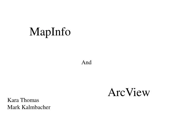
MapInfo And ArcView Kara Thomas Mark Kalmbacher
Outline • Focus of Study • Needs Assessment • Software Candidates • Side by Side Comparison • Recommendation
Focus of Study City Planning Department • 5-10 person department • Comprehensive development planning • demographic • land use • City Council/Zoning Commission assistance • Special Studies
Key Determination Factors • Needs Assessment Guidelines • Side by Side Comparisons
Needs Assessment Guidelines • Established GIS Package/Company • Handle appropriate levels of geography • Integrate with systems and people • Ease of use
Established Candidates MapInfo • Developed 1986 • Current Version 6.5 • Key components – Popular in business community • mapping, routing-internet, geocoding • database management, solutions Arcview • ESRI – recognized leader • Current version 8.1 • Key Components – Dominant in government sector • mapping, query analysis, database management, • solutions
Side by Side Comparisons • Cost • Basic Mapping • Integration • High-end mapping
Side by Side Comparison HIGH-END MAPPING
Recommendation ArcView • Expanded capabilities for the cost • Overwhelming government usage • Sharing data with other planning agencies
Precise Editing – Moving a Shared Boundary Back
Precise Editing – Creating New Features Back