Download
1 / 20
200 likes | 290 Vues
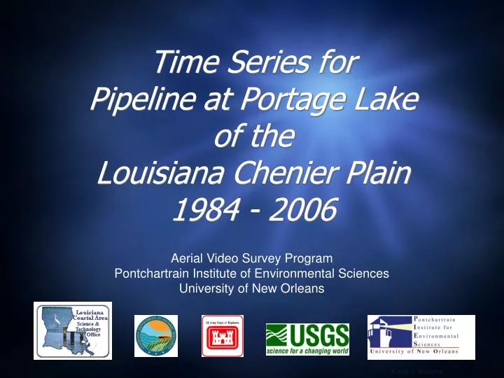
Time Series for Pipeline at Portage Lake of the Louisiana Chenier Plain 1984 - 2006. Aerial Video Survey Program Pontchartrain Institute of Environmental Sciences University of New Orleans. Karen A Westphal.

E N D
Time Series forPipeline at Portage Lakeof the Louisiana Chenier Plain1984 - 2006 Aerial Video Survey Program Pontchartrain Institute of Environmental Sciences University of New Orleans Karen A Westphal
The Aerial Video Survey Program has been acquiring photography and video of the northern Gulf of Mexico shoreline since 1984. Oblique aerial photography does not produce exact matches due to variations in altitude, camera angle and distance from the shore (and different photographers). Photos that matched well were scaled and aligned to illustrate the landscape changes that have taken place between time periods. Occasionally a pointer or symbol was added to assist with the visual comparison.
Location of the pipeline at Portage Lake, Louisiana The pipeline is in BICM segment 10 “Rainey Refuge”
1984 29º35'09'/92º06'33"- View to north
1985 - Post-Hurricane Juan 29º35'09'/92º06'33"- View to north
1986 29º35'09'/92º06'33"- View to north
1987 29º35'09'/92º06'33"- View to north
1988 29º35'09'/92º06'33"- View to north
1989 29º35'09'/92º06'33"- View to north
1992 29º35'09'/92º06'33"- View to north
1992 - Post Hurricane Andrew 29º35'09'/92º06'33"- View to north
1993 29º35'09'/92º06'33"- View to north
1996 29º35'09'/92º06'33"- View to north
2001 29º35'09'/92º06'33"- View to north
2005 - Post Hurricanes Katrina & Rita 29º35'09'/92º06'33"- View to north
2006 29º35'09'/92º06'33"- View to north
12 Years • 1984 • 1996
10 Years • 1996 • 2006
22 Years • 1984 • 2006
Relevant Coastal Restoration Projects • None listed http://dnr.louisiana.gov/crm/coastres/projectlist.asp