Download
1 / 17
180 likes | 351 Vues
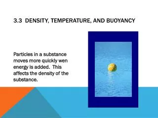
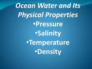
↓ temp = ↑ density ↑ salinity = ↑ densit Thermocline Zone of rapid temp decrease Does this correlate with density and salinity?. Salinity, Temperature, Density. Below the surface waters (>500m) it is cold, dense, and saline.

E N D
↓ temp = ↑ density ↑ salinity = ↑ densit Thermocline Zone of rapid temp decrease Does this correlate with density and salinity? Salinity, Temperature, Density
Below the surface waters (>500m) it is cold, dense, and saline. Surface water is effected by wind, currents, latitude, and land masses.
Colder at the poles; warmer at the equator (upto nearly 30 C)
Gas • O, CO2, N • Dissolve better in ↓ temp • ↑ gas concentrations at poles • O not very soluble; .4-.6% • Compared to 21% in air • CO2 is more soluble; 80% • Compared to .04% in air • Ocean stores 50x more CO2 than air
Blue wavelengths penetrate the furthest Suspended and dissolved particles affect penetration Coastal waters absorb some blue Appear more green Light
1 atm = the weight of all the air above Every 10m of water depth adds 1 atm Increases gas compression (↑ gas density = ↓ gas volume) …not so good for swim bladders Pressure
Wind drives currents Both are driven by sun/heat Both are affected by Coriolis effect Curved path due to earth’s rotation N of Equ. deflects to the right S of Equ. deflects to the left Surface Circulation
Driven by heat ↑ temp = ↓ density …air rises …air from higher latitudes move in place making wind…bent by coriolis effect Northeast trades Westerlies Wind
Wind pushes surface water …bent by Coriolis, too • Together gyres are produced • Large circular surface current systems • Move heat from equ. to higher latitudes
Wind causes waves, too. Floating objects move in circles rather than following the wave
Wind pushes surface water • Wave settles into circular swells • Waves nearing shore run out of space for circular motion…piles up…crashes
Recurring rise and fall of sea surface caused by gravitational pull & rotation Moons gravity pulls water towards moon ↓ gravitational pull on opposite side is not enough to counter the outward inertia of earth’s rotation Tides
Earth rotation = 24 h High tide @ bulge 2 highs & 2 lows in a 24 hr period Moon has own orbit Therefore, full tidal cycle = 24 hrs, 50 min.
Sun also has gravitation pull…its larger mass would = much stronger pull, but its much further away…therefore half the pull of the moon • When both are aligned with earth, grav. pull is additive = higher highs & lower lows = spring tides
Diurnal = daily; once in 24 hours • Semi = half; semidiurnal = _____ • US east coast • US west coast has mixed or variable high & low tides every half day…due to effects of bottom topography and other land masses