Download
1 / 9
120 likes | 344 Vues
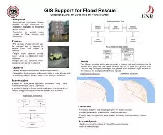
Central Valley Flood Protection Plan GIS. Presentation to Flood Emergency Response GIS Subcommittee September 5 , 2010. Presented by: Marill Jacobson, GIS Analyst. Key Products of the Central Valley Flood Management Planning Program. State Plan of Flood Control Descriptive Document

E N D
Central Valley Flood Protection PlanGIS Presentation to Flood Emergency Response GIS Subcommittee September 5, 2010 Presented by: Marill Jacobson, GIS Analyst
Key Products of the Central Valley Flood Management Planning Program • State Plan of Flood Control Descriptive Document • Inventories, describes the State-Federal flood management system • Document released in November 2010 • Flood Control System Status Report • Describes how the facilities are working • Document release December 2011 • Central Valley Flood Protection Plan • Plan adopted by the Central Valley Flood Protection Board June 29, 2012 • Includes 5 Volumes of Technical Analysis and a Program Environmental Impact Report. • Updated every five years
Describes SPFC facilities in the CVFPP Planning Areas Geospatial Data Levees, Weirs, Flood Control Structures, Pumping Plants SPFC Map Book Based on O & M Manuals CD with Interactive PDF Maps Updated August 2012 NRO: \\P:\CVFPP\SPFC_MapBook Shared Drive: \\Gis1\DFMLAN\SFPO\data\Documents\SPFC_Descriptive_Document\Final_201011 State Plan of Flood Control (SPFC)Descriptive Document
Flood Control System Status Report (FCSSR) How are the SPFC Facilities working. Urban (ULE) and Non-Urban Levee Evaluations (NULE) As of August 2011 ULE & NULE Points of Interest 2009 levee and facility inspections Early Implementation (EIP) and Board Projects
Central Valley Flood Protection Plan(CVFPP) • Compares 3 approaches to fixing SPFC facilities • Describes the State System-wide Investment Approach (SSIA), the State preferred plan. • Includes 5 Volumes of technical analysis results and the Program Environmental Impact Report (PEIR).
CVFPO Geodatabases • Geodatabases for each of the primary documents located: \\GIS1\Staff Data\CVFPO\Data\GIS_Data\Geodatabases • Additional geodatabases for the ULE/NULE Point of Interest data
CVFPO - ArcGIS, Map Documents Map Documents used to create the figures for the CVFPP Reports are located: \\Gis1\Staff Data\CVFPO\Data\GIS_Projects
Schedule And Major Products State Plan of Flood Control Descriptive Document Flood Control System Status Report Central Valley Flood Protection Plan (CVFPP) -- 2012 Plan CVFPP 5-Year Updates Board Adoption 2017 Update Progress Report Draft CVFPP Implementation Activities -- Feasibility Studies, Environmental Compliance, Design, Construction 2009 2010 2011 2012 2017 Key: Milestone Document
For more information CVFMP Website: www.water.ca.gov/cvfmp Email: cvfmp@water.ca.gov