Download
1 / 7
100 likes | 423 Vues
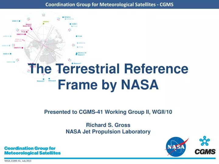
The Terrestrial Reference Frame by NASA Presented to CGMS-41 Working Group II, WGII/10 Richard S. Gross NASA Jet Propulsion Laboratory. What is the Terrestrial Reference Frame?.

E N D
The Terrestrial Reference Frame by NASAPresented to CGMS-41 Working Group II, WGII/10Richard S. GrossNASA Jet Propulsion Laboratory
What is the Terrestrial Reference Frame? • The Terrestrial Reference Frame (TRF) is an accurate, stable set of positions and velocities of reference points on the surface of the Earth • The TRF provides the stable coordinate system that allows us to link measurements over space and time • The geodetic networks provide data for determination of the TRF as well as direct science observations • GNSS, SLR, VLBI, and DORIS are the four technologies used in the geodetic networks GNSS SLR VLBI DORIS
An Inaccurate Reference Frame Can Be Very Expensive Design error at bridge construction in Laufenburg (2003): During the construction of the bridge across the Rhine river in Laufenburg, a control showed that a height difference of 54 centimeters exists between the bridge built from the Swiss side and the roadway of the German side. Reason of the error is the fact that the horizons of the German and Swiss side are based on different reference frames. Germany refers to the sea level of the North Sea, Switzerland to the Mediterranean.
Improving the performance of the Global Geodetic Observing System and the TRF is critical to understanding the future impact of Sea level Change • The GGOS Geodetic Reference Frame Requirement for Sea Level Measurement • 1 mm reference frame accuracy and 0.1 mm/yr stability
GGOS2020 recommends the development of a NextGen Network of co-located fundamental stations
NASA (GSFC/JPL) is Developing a Prototype Next Generation Geodetic Observatory at GSFC
International Contributions are Essential to Develop the Next Generation GGOS Network