Download
1 / 25
250 likes | 377 Vues
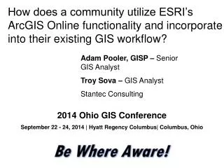
How does a community maintain a storm water infrastructure database in ArcGIS 9.3 using the ESRI Local Government Data Model?. Adam Pooler, GISP Senior GIS Analyst Stantec. Troy Sova GIS Analyst Stantec. 2013 Ohio GIS Conference

E N D
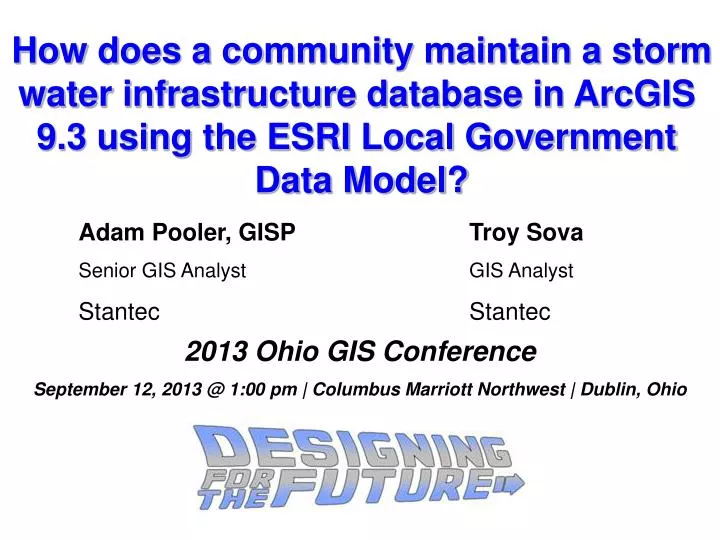
How does a community maintain a storm water infrastructure database in ArcGIS 9.3 using the ESRI Local Government Data Model? Adam Pooler, GISP Senior GIS Analyst Stantec Troy Sova GIS Analyst Stantec 2013 Ohio GIS Conference September 12, 2013 @ 1:00 pm | Columbus Marriott Northwest | Dublin, Ohio
Outline • Project Area • Multi-Step Process – Data Collection • Integration into Data Model • Geometric Network and QA/QC • Conclusion • Questions
Multiple Phases Stormwater 9.3 File Geodatabase • Phase 1 • Pre ESRI Data Model • Data Collection • Phase 2 • Data Collection • ESRI Data Model • Phase 3 • Data Collection • QA/QC • Geometric Network Local Gov. Data Model
Multi-StepProcess • Step 1 • Scan Paper As-Built Drawings into digital TIF format using a Large Format Plotter/Scanner
Step 2a • Geo-Reference TIF files using Imagery and Street Centerlines within ArcMap’sGeoreferencing Toolbar
Step 2b • GeoreferenceTIF Files multiple times if drawing sheets have more than one plan layout.
Step 3 • Digitize Storm Features (Catchbasins/Inlets, Outfalls, Gravity Mains, Underdrains, Manholes)
Step 3 • Digitize Storm Features (Catchbasins/Inlets, Outfalls, Gravity Mains, Underdrains, Manholes) Manhole Gravity Main Inlet Outfall *Source – Google
Step 4a • Collect any attributes associated with the Storm Features from the plan drawings (e.g. Pipe sizeand Type of Construction)
Step 4a • Collect any attributes associated with the Storm Features from the plan drawings (e.g. Pipe size and Type of Construction) Pipe Size Type of Construction
Step 4b • Collect any attributes from the profile drawings (e.g. Invert Elevations, Slope)
Step 4b • Collect any attributes from the profile drawings (e.g. Invert Elevations, Slope) Pipe Size Slope Invert Elevations
Step 5 • QA/QC attribute table for each storm feature class, checking for missing attributes or inconsistencies. • Check for large gaps or congested areas in the data • Missing subdivision as-built drawings • New Construction • Use model’s Domains to attribute featureswhere possible.
ESRI’s Local Government Data Model • ArcGIS for Local Government • “ArcGIS for Local Government includes a series of maps and apps designed to work together across various departments.” Source: ESRI • Reduces the complexity of implementing and managing GIS in a local government setting. • Model supports multiple data schemas. Land Records Address Elections Planningand Development Local Government Data Model Facilities / Campus Public Safety Infrastructure Public Works
Data Schema - Stormwater • http://help.arcgis.com/en/localgovernment/datadictionary.html
Problem – Using a ArcGIS 10 Data Model within ArcGIS 9.3 Software • Data model contains relationships setup in 10.X, which do not communicate with 9.3. • Tools developed specifically for Data Model only accessible in 10.X • Attribute Assistant • Infrastructure Abandon Models • Infrastructure Desktop Construction Tools • Infrastructure Editing • Infrastructure Reporting
Data Model Tools • Attribute Assistant – Advanced capabilities to calculate attribute data. • Four ArcMap Commands and one ArcMap Toolbar • Infrastructure Desktop Construction Tools • Four new point construction tools and one new line construction tool. • Infrastructure Desktop Toolbars • Infrastructure Editing • Infrastructure Reporting
Setting Up a Geometric Network • Step 1a & b – Network Name, Snapping Tolerance & Features • Step 2a & b –Enable Values and Select Roles for each Feature Class
Setting Up a Geometric Network Modify Sources & Sinks after Creation • Step 3 – Add Weights to Network • Step 4 – Review Results
Quality Assurance/Quality Control • Setup a Geometric Network and Update Connectivity between Storm Features. • FYI – The Geometric Network Tool only works with an Editor or ArcInfo License • Compare features collected to As-Built drawings (features and attributes)
Lessons Learned • Update Domains prior to data entry as much as possible. • Use an unmanaged Raster Catalog. • Start Project with Data Model and Geometric Network
Conclusion • ESRI’s Local Government Model Schema works with older versions of ArcGIS without having to upgrade. • Converting As-Built Drawings to Digital Format takes time up front but is a more manageable system in the long run.
Questions? Adam Pooler, GISP • Adam.Pooler@stantec.com Troy Sova • Troy.Sova@stantec.com