Download
1 / 6
60 likes | 62 Vues
Opening speech by Kirsten Wismer, Director of Social Statistics at Statistics Denmark, discussing the use of geographical data and maps in statistical publications, the Statistical Databank, and tailored statistics for customers. She also highlights ongoing efforts to improve the use of geographical data, such as defining urban areas, expanding the use of PX-iMap in StatBank Denmark, and integrating grid data for marketing, research, and statistical purposes. Wismer mentions a current example of collaboration with the National Cadastre and Survey, where statistical data from StatBank Denmark is combined with maps for the creation of Municipality Statistics.

E N D
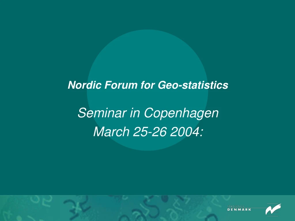
Nordic Forum for Geo-statistics Seminar in Copenhagen March 25-26 2004:
Opening speech by Kirsten Wismer Welcome to all participants Director Kirsten Wismer, Social Statistics. Chairman of the GIS-Steering Committee in Statistics Denmark
Opening speech by Kirsten Wismer 1/3 Geographical data and Maps are used to: - present statistical data in our publications - to illustrate municipality and county data in our Statistical Databank - and to facilitate the delivery of tailormade statistics for our customers.
Opening speech by Kirsten Wismer 2/3 Statistics Denmark is currently working on various attempts to improve our use of geographical data such as: - defining urban areas in cooperation with the National Cadastre and Survey - expand the use of PX-iMap in StatBank Denmark - facilitate the use of spatial extensions to databases - calculation of commuing distances in order to improve our commuter statistics - better use of address material with x,y coordinates - integrating the use of griddata for marketing, research and statistical purposes
Opening speech by Kirsten Wismer3/3 Current example of use of data and maps: Partnership with the National Cadastre and Survey The new Denmark – Create your own Municipality Statistical data from StatBank Denmarks combined with maps from the National Cadastre and Surveywww.kms.dk/detnyedanmark
Opening speech by Kirsten Wismer Have a great seminar and enjoy your stay here in Copenhagen.