Download
1 / 25
250 likes | 369 Vues
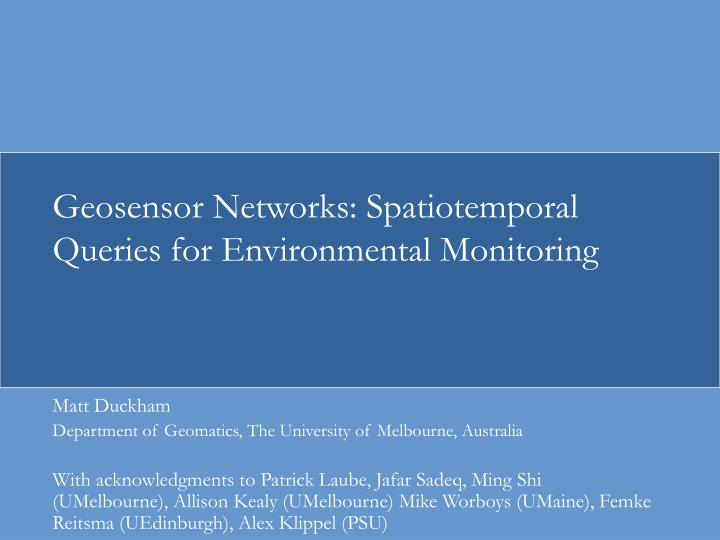
Geosensor Networks: Spatiotemporal Queries for Environmental Monitoring. Matt Duckham Department of Geomatics, The University of Melbourne, Australia

E N D
Geosensor Networks: Spatiotemporal Queries for Environmental Monitoring Matt Duckham Department of Geomatics, The University of Melbourne, Australia With acknowledgments to Patrick Laube, Jafar Sadeq, Ming Shi (UMelbourne), Allison Kealy (UMelbourne) Mike Worboys (UMaine), Femke Reitsma (UEdinburgh), Alex Klippel (PSU)
Applications of wireless sensor networks Szewczyk, R., Osterweil, E., Polastre, J., Hamilton, M., Mainwaring, A., and Estrin, D., (2004). Habitat monitoring with sensor networks. Communications of the ACM, 47(6): 34–40.
Wireless sensor networks (WSN) • Wireless networks of miniaturized sensor-enabled computers (nodes) • Geosensor network (GSN) emphasizes that the sensor nodes are located somewhere • Requires new ways of thinking about data capture and processing
Challenges • Physical/chemical (e.g., new sensor arrays) • Hardware (e.g., low-power processors and transceivers) • Software (e.g., small footprint OS) • Communications (e.g., efficient routing) • Applications (e.g., water resources, fire monitoring)
Spatial challenges • Localization • Scalable, low-cost, low-power, accurate, and precise positioning • Spatial policy • Integration of information into decision-making process • Processing and spatial computing • Decentralized, distributed processing • Qualitative vs quantitative information • Dynamic phenomena and real-time information • Uncertainty and robustness
Decentralized, distributed computing • GSN fundamental #1: In any WSN, power is the overriding resource constraint that governs network lifetime. • Computation is cheaper than communication (1Kbit comm≈3M CPU inst), therefore efficient to trade communication for computation.
Decentralized, distributed computing 32 31 28 27 28 25 26 22 26 27 22,23,26,26,27 22,23,27 26 30 23 26 31
Decentralized, distributed computing 32 31 28 27 28 25 26 22 26 27 27 26 27 30 23 26 31
Qualitative information processing • GSN fundamental #2: Using qualitative information where possible in a GSN improves robustness, energy efficiency. • Qualitative (ordering and non-metric) information: • is imprecise and improves robustness to inaccuracy • can always be created from quantitative information; the converse is not true • can correspond to salient boundaries • requires fewer bits to transmit
Qualitative information processing 2: a>b>c 1: c>d>e Example from Guibas, L. J. (2002). Sensing, tracking and reasoning with relations. Signal Processing Magazine, IEEE, 19(2), 73-85.
Dynamic and real-time information • GSN fundamental #3: Event- and process-oriented information is central to understanding the dynamic environments monitored by GSN. • Moving beyond the snapshot metaphor • Ask questions about “What is happening?” as well as “What is the state of the world?”
Uncertainty and robustness • GSN fundamental #4: Data in a GSN is inherently unreliable. • Robustness and reasoning under uncertainty are cross-cutting themes in GSN • Hardware is low-cost, unreliable, poorly calibrated • Need to generate coarse-grained but reliable decision support services from fine-grained but unreliable data
App #1: Conservation contracts • Conservation contracts increasingly used to promote environmentally beneficial management on private land by public bodies • Use enhanced, spatially-aware GSN to help in monitoring conservation contract compliance • Overcome problems of localization • Overcome problems of distributed, decentralized spatial computing • Combined data capture and processing
App #1: Conservation contracts • Low-cost, fine-grained monitoring of environmental change over extended periods • Distributed: Spatial variation in environmental phenomena • Qualitative: Specified outcomes often qualitative • Dynamic: Observation of events and processes • Robust: Uncertainty exists at every level of the application
App #2: Distributed in-network prediction Slide courtesy Femke Reitsma
r r r r r flock Distributed flock App #3: Happy sheep! Centralized
Fundamental ideas in GSN • “The opposite of GIS” • “Blurring the distinction between spatial information capture and processing” • “Individual data items become almost meaningless” • “Ambient spatial intelligence”
Related publications • Klippel, A. Worboys, M.F., Duckham, M. (2007) Identifying factors of geographic event conceptualization. Accepted for International Journal of Geographical Information Science . • Worboys, M.F., Duckham, M. (2006) Monitoring qualitative spatiotemporal change for geosensor networks. International Journal of Geographical Information Science v20 n10, 1087-1108. • Klippel, A., Worboys, M.F., Duckham, M. (2006) Geographic event conceptualization. Cognitive Processing v7 nS1, S52-S54. • Worboys, M.F. and Duckham, M. (2006) Formalizing mobility in dynamic location-aware sensor networks. In MDM '06 MLASN (Mobile Data Management 2006 Workshop on Mobile Location-Aware Sensor Networks), IEEE, pp. 157 • Duckham, M., Nittel, S. and Worboys, M. (2005). Monitoring Dynamic Spatial Fields Using Responsive Geosensor Networks. In Shahabi, C. and Boucelma,O. (eds) ACM GIS 2005, ACM Press, pp. 51-60. • Nittel, S., Duckham, M., Kulik, L. (2004) Information dissemination in mobile ad-hoc geosensor networks. In Egenhofer, M.J., Freksa, C. and Miller, H.J. (eds) Lecture Notes in Computer Science 3234, Springer, pp. 206-222. • Duckham, M. and Reitsma, F. (2007, in prep) Distributed environmental prediction and feedback in robust geosensor networks. • Forthcoming special issue of ISPRS Journal of Photogrammetry and Remote Sensing on Distributed Geoinformatics (eds Agouris, Croitoru, Duckham) • Forthcoming special issue of Computers, Environment, and Urban Systems on Distributed and Mobile Spatial Computing (eds Duckham, Laube, Croitoru)