Download
1 / 28
290 likes | 530 Vues
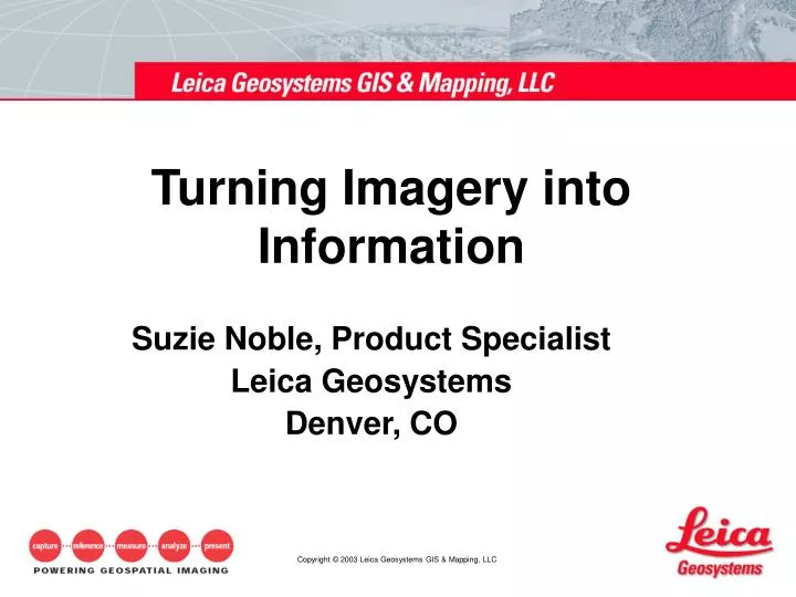
Turning Imagery into Information. Suzie Noble, Product Specialist Leica Geosystems Denver, CO. IMAGERY. Introduction to Imagery. Image Type – Black and White (Panchromatic). Imagery basics - What is an Image?. Image Type – Natural color or Color infrared. Imagery basics.

E N D
Turning Imagery into Information Suzie Noble, Product Specialist Leica Geosystems Denver, CO
IMAGERY Introduction to Imagery
Image Type – Black and White (Panchromatic) Imagery basics - What is an Image?
Image Type – Natural color or Color infrared Imagery basics
Spatial Resolution The area on the ground represented by a pixel Radiometric Resolution The value of the pixel Spectral Resolution The specific wavelength intervals a sensor can record The Resolution of an image
Spatial resolution is extremely Important! Determines what can be seen in an image Imagery basics – Spatial Resolution Extremely Important! Determines what can be seen in an image Extremely Important! Determines what can be seen in an image
30 Meter Resolution 1 Pixel is 30m X 30m 1 Meter Resolution 1 Pixel is 1m X 1m Spatial Resolution Example
Baseball Math Distance Between Bases = 90 ft. Total Infield Area = 8100 sq ft. An image with a 30m resolution = an Infield covered by 1 pixel An image with a 1m resolution = an Infield covered by 900 pixels 1m Resolution 30m Resolution 1,609 Pixels 53 Pixels 53 pixels 1,609 Pixels Spatial Resolution & File Size 2.74 KB For each layer 2,470 KB For each layer Example of an image that covers 1 sq Mile
A Pixel is One Data Byte A Byte is 8 Data Bits A Bit is either On or Off ON ON ON ON ON ON ON ON ON ON Radiometric Resolution (8 bit data) • 256 Combinations in a Byte • Pixels Values Range from 0-255 • Black is 0 and White is 255 158 100 125 158 (2048 combinations for 11 bit data) (65,536 combinations for 16 bit data)
Sensor Types • There are two types of Imaging Satellites, Active and Passive. • Active sensors (Radar) • Emit their own energy • Can be used day or night • Can see through clouds and in arid climates can penetrate the surface of the earth • Produce images that are comprised of a signal return • Passive sensors • Require an external energy source (e.g. the Sun). • On a sun-synchronous orbit • Altitude and look angles control revisit time • Produce images of reflected light from various portions of the Electromagnetic Spectrum
Mid IR Near IR Red Green Blue Multispectral Imagery Spectral Resolution Beyond Visible Color Allows Feature Delineation
Spectral Reflectance Canada Centre for Remote Sensing Canada Centre for Remote Sensing Canada Centre for Remote Sensing
-Scattered by the Atmosphere -Illuminates material in shadows not seen in longer wave lengths -Best water penetration for clear water Ultraviolet -Contrast between clear and turbid water -Reflectance peak of vegetation in Visible region Visible -Chlorophyll absorption band for vegetation discrimination -Carotene and xanthophylls reflectance (dead foliage) -Internal leaf tissue strongly reflective (decreases as stress increases) -Shoreline Mapping -Fire Fuels Modeling -Differentiation between evergreen and deciduous vegetation Near Infrared Mid Infrared -Discrimination of oil on water -Moisture content of soil and vegetation -Limited cloud penetration -Contrast between vegetation types -Solar reflectance from metal buildings -Heat emissions from fires and smoke stacks -Smoke Penetration -Emitted and latent heat Thermal Spectral Range
Thematic Mapper Band 1 Band 4 Band 5 Viewing Bands of Data
Red R 4 NIR G 3 Red B 2 Green Green Blue Viewing Images…Color Additive Process The computer monitor has 3 color guns: Red – Green – Blue (R, G, B) Landsat False Color Composite Band Combination (4,3,2) Healthy vegetation reflects highly in the Near Infrared (NIR) light. Y M W C
True Color Provides a True Color Representation • Infrared Emphasizes Active Vegetation • SW Infrared Provides Vegetation Contrast and Sharp Shorelines Band Combinations Blue Band Green Band Red Band Near IR Band Mid IR Band
Image Footprint Comparison QuickBird (Digital Globe) --16.5 km IKONOS (Space Imaging) --11 km OrbView (Orbimage) 3--8 km Eros (ImageSat) 1A – 12.5 km
Eight Image Bands Resolution: 30 m Multispectral 15 m Panchromatic 60 m Thermal Scene: 185 km x 170 km Revisit: 16 Day LANDSAT Imagery http://landsat7.usgs.gov
Five Image Bands Resolution: 20 m SWIR 10 m VG, VR, NIR 2.5 or 5 m Pan Scene: 60km x 60km Revisit: 4 Days SPOT Imagery www.spot.com
OrbView-3 Four Image Bands Resolution: 4 m multispectral 1 m panchromatic Revisit: 3 Days Scene: 8 km swath User defined scenes OrbView Imagery www.orbimage.com
Four Image Bands Resolution: 1 m panchromatic 3.28 Feet 4 m multispectral 13.12 Feet Scene: 11 km swath 6.8 miles 100 km max. length 62 miles User Defined Scenes Apx 3-day revisit IKONOS Imagery www.spaceimaging.com
Four Image Bands Resolution: 61 cm panchromatic 2.00 Feet 2.4 m multispectral 7.87 Feet Scene: 16.5 km swath 10 miles 165 km max. length 102 miles User Defined Scenes Apx 3-day revisit QuickBird Imagery www.digitalglobe.com
Taken from 279 miles above Earth Shadows of People on the Sidewalk Individual Trees Distinguishing Cars and Trucks (Digital Globe – Quickbird 3 pan/multi merge)
Geometrically correct aerial photo Ideal for extracting Ground Control Points Available for downloading Digital Orthophoto Quadrangle
Scanned USGS Topo Quads Similar to imagery for processing Ideal for extracting Ground Control Points Available for downloading for a small fee Digital Raster Graphics (Maps) www.gisdatadepot.com
Digital Elevation Models • USGS 30 meter available for entire country • USGS 10 meter partial coverage • Download for free www.gisdatadepot.com
AerialPhotography Sensor Properties • Multiple collection scenarios • Varying Scales Use • ROW Management • Environmental monitoring • Facilities management • Agricultural monitoring • Vegetation health • Urban planning • Stormwater management • LULC