Download
1 / 37
380 likes | 460 Vues
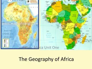
The Geography of Africa. A Satellite View. Africa’s Size. 4 6 0 0 M I L E S. 5 0 0 0 M I L E S. Second largest continent 11,700,000 sq. mi. 10% of the world’s population. 2 ½ times the size of the U. S. Mediterranean Sea. Bodies Of Water. Red Sea. Nile River. Niger River.

E N D
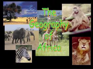
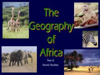
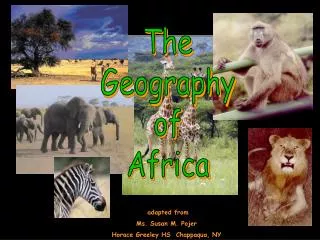
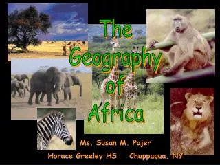
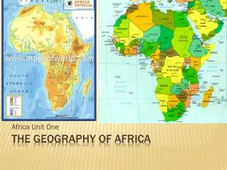
The Geography of Africa
Africa’s Size 4 6 0 0 M I L E S 5000 MILES • Second largest continent 11,700,000 sq. mi. • 10% of the world’s population. • 2 ½ times the size of the U. S.
Mediterranean Sea Bodies Of Water Red Sea NileRiver NigerRiver <--Gulf of Aden Congo River Lake Victoria Indian Ocean Atlantic Ocean Okavango Swamp/River Pacific Ocean
The Nile River • Longest River in the World • White Nile and Blue Nile meet in Sudan to form the Nile River • Flows northward, emptying in the Mediterranean Sea • Without the annual flooding in Egypt land would not be arable
SUEZ CANAL • Located in Egypt • Divides the mainland Egypt from the Sinai Peninsula • Connects the Mediterranean Sea with Red Sea • One third the distance that it was before
The Congo River Basin • Covers 12% of thecontinent. • Extends over 9countries. • 2,720 miles long. • 99% of the countryof Congo is in theCongo River basin.
CONGO RIVER BASIN • Located near the equator in central and western Africa • This is where the majority of Africa’s tropical rain forests are located
The Niger River Basin • Covers 7.5% of the continent. • Extends over 10 countries. • 2,600 miles long.
Atlas Mts. Mountains & Peaks ΔMt. Kilimanjaro Drajensburg Mts.
Deserts Sahara Desert Sahel Kalahari Desert
SAHEL • Semi-arid region just south of the Sahara • Dry grasslands with scattered trees • Desertification is a growing problem • Growing of the desert caused by climate changes and over grazing
Valleys & Plains Great Rift Valley
Mount Kilimanjaro: • Africa’s highest mountain at 19,341 feet • Located on the Equator in Tanzania near Kenya • Formed by volcanic activity from the Great Rift Valley • Only year round snow capped mountain in Africa • Known in Swahili as “Shining Mountain”
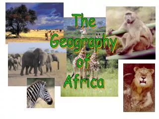
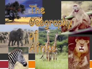
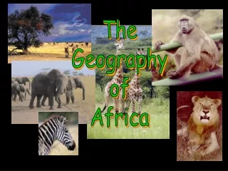
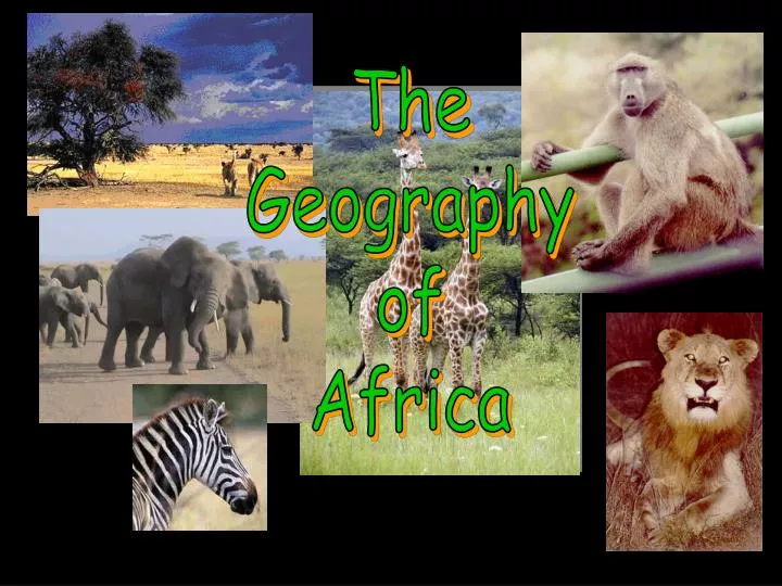
SAVANNAS • Tropical grasslands with scattered trees and shrubs • This is where many of the African Safaris take place • Large populations of wildlife • Serengeti – means “endless plains” • Largest mammal migration and game reserve
Great Rift Valley 3,000 miles long
African Rain Forest • Annual rainfall of up to 17 ft. • Rapid decomposition (very humid). • Covers 37 countries. • 15% of the land surface of Africa.
Tropic of Cancer 20° N Africa:The“Tropical”Continent Equator 0° Tropic of Capricorn20° S
Lake Victoria • Located in the middle of the Great Rift Valley of Eastern Africa • It is a shallow depression • Largest lake in Africa
Victoria Falls • Forms a border between Zambia and Zimbabwe • Largest waterfall in the world
Okavango Swamp/River • Worlds largest inland river delta • River is absorbed by the Kalahari Desert • Large game reserve in the desert
Kalahari Desert • Largest Desert in southern Africa • Has many oasis which makes it habitable • Oasis – vegetated areas in a desert caused by fresh water springs
CAPE OF GOOD HOPE • Southern most point of Africa • Converging currents from the Indian and Atlantic Oceans make waters dangerous for sailing but great wildlife South African Penguins Only Place in the world Great Whites breach
Mediterranean Sea Atlas Mts. Suez Canal The Complete Topography Of AFRICA Tropic of Cancer 20° N Sahara Desert Red Sea Sahel NileRiver NigerRiver Great Rift Valley <--Gulf of Aden Equator 0° Congo River L.ake Victoria ΔMt. Kilimanjaro Indian Ocean Ruwenzori Mts. Atlantic Ocean OkavnagoSwap/River Namib Desert ---Victoria Falls Kalahari Desert Tropic of Capricorn20° S Drajensburg Mts. Pacific Ocean
Africa Physical Geography • Mediterranean Sea • Suez Canal • Red Sea • Gulf of Aden • Indian Ocean • Atlantic Ocean • Congo River • Nile River • Niger River • Lake Victoria • Atlas Mountains • Drajensburg Mountains • Mount Kilimanjaro • Sahara Desert • Sahel • Great Rift Valley • Victoria Falls • Okavango River • Kalahari Desert • Cape of Good Hope
Countries Of AfricaMaliSouth AfricaSenegalCongoRwandaBurundiEgyptSudanSomaliaEthiopiaNigeria