Download
1 / 37
380 likes | 586 Vues
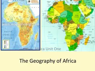
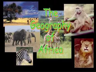
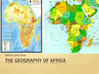
The Geography of Africa. Year 8 Social Studies. Africa is centrally located on the Earth’s surface. It straddles the Equator, extending for thousands of miles north and south of that line. Stands between two major oceans, the Atlantic Ocean to the west and the Indian Ocean to the east.

E N D
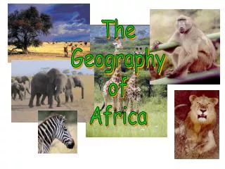
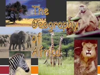
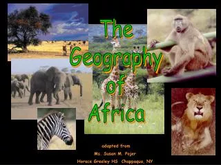
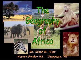
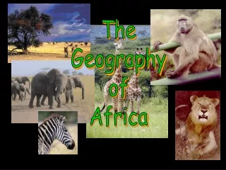
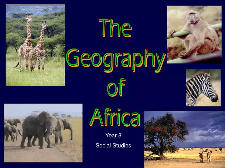
The Geography of Africa Year 8 Social Studies
Africa is centrally located on the Earth’s surface. It straddles the Equator, extending for thousands of miles north and south of that line. Stands between two major oceans, the Atlantic Ocean to the west and the Indian Ocean to the east. The Mediterranean Sea to the north and the Red Sea in the northeast; also border Africa A Global Perspective LOCATION
Africa – The Name, Some Theories • While there are several different theories regarding the origin of the name “Africa” most etymologists (who are they?) believe the name derived from Afri, the title for a group of people who dwelt in North Africa near Carthage around the 3rd Century B.C., and the ca the Roman suffix for country or land. • Ancient Greeks and Romans originally used the term “Africa” only to the northern region of the continent. In Latin, the word Africa means sunny and the word Aphrike in Greek means without cold.
A Global Perspective LOCATION Although surrounded by ocean that separates Africa from other continents, the geological boundaries of the ocean has played a major role in African history, both positive and negative. Africa’s central location places it in the middle of major global shipping transport routes, therefore Africa became a major transportation port for goods including human cargo.
Africa’s Size 7400 KMS 8045 KMS • Second largest continent after Asia approx 18,825,300 sq. kms or 11,700,000 sq miles • Contains more independent nations than any other continent in the world • Approx 13% of the world’s population. • More than 3 times the size of the U. S. covering over 20.3% of the earth’s surface
Mediterranean Sea Atlas Mts. Libyan Desert The Topography Of AFRICA Tropic of Cancer 20° N Sahara Desert Red Sea Sahel NileRiver NigerRiver L. Chad--> Great Rift Valley <--Gulf of Aden L. Albert--> ΔMt. Kenya Equator 0° Congo River L. Victoria ΔMt. Kilimanjaro L. Tanganyika-> Indian Ocean Ruwenzori Mts. Atlantic Ocean Zambezi River Namib Desert Kalahari Desert LimpopoRiver Tropic of Capricorn20° S OrangeRiver Drajensburg Mts. Pacific Ocean
Regions are defined by distinct geographical features, although regions themselves have unique qualities. GEOGRAPHICAL differences often define the people who live within a region, which contributes to a nation’s diverse and rich cultural ‘make-up’. AFRICA has many distinct regions, however the major regions are: North Africa West Africa East Africa Central Africa Southern Africa A Global Perspective REGIONS
The Bulge The Horn of Africa The Cape of Good Hope A Global Perspective SHAPE OF AFRICA
Mostly a vast plateau, Africa is edged by Mountain Ranges such as the Atlas Mountains (Northwest) and the Drakensberg Mountains (Southeast) Narrow plains then fringe the coast. A Global Perspective MAJOR LANDFORMS
PLATEAUS of Africa lie at different elevations and are scattered by large basins, swamps and lakes. The highest are the east and south The continent’s plateaus then tilt towards the west and north. A Global Perspective PLATEAUS
Towards the coast the land drops sharply, escarpments or cliffs often divide the plateau and the coastal plain. The sharp drop encourages water to tumble from the plateaus to the coast, creating cataracts or large waterfalls or rapids. A Global Perspective PLATEAUS OVER THOUSANDS OF YEARS, human beings have moved over Plateaus. • Animals have followed well worn trails, migrating over plateaus with seasonal changes. • So too, native Africans followed these nomadic patterns, following worn trails. • So did the traders. • The plateaus and cataracts discouraged early European explorers who found it difficult to navigate up river systems.
Slicing through the eastern part of the continent, The Great Rift Valley was formed millions of years ago. A giant fault, in the Earth’s crust runs from the Red Sea to the Zambezi River. The valley is a series of mountains and valleys forms by volcanic action. Flanking the Rift Valley are high, cliff like walls. With the action of fertile soils washing down into the valley, the Rift Valley contains some of Africa’s most fertile farmland. The Rift Valley is rich in natural resources such as minerals and metals, however the high cliffs and deep valleys make mining and building of infrastructure costly and dangerous. A Global Perspective THE GREAT RIFT VALLEY
A Global Perspective BODIES OF WATER
Africa’s rivers provide fish, water for irrigation, a means of transportation and a source for hydroelectric power generation; produced by moving water. Deep water ports allow for trading of bulk goods A continent surrounded by water and centrally located between the Americas and Europe allowed for accessible and effective trading routes. Rivers that were difficult to navigate was one factor that led to European perception of Africa as the “Dark Continent” A Global Perspective BODIES OF WATER What is so good about water anyway?
Lake Chad Lake Victoria Lake Tanganyika Lake Nyasa Major Lakes of Africa
Major Rivers of Africa Mediterranean Sea The Nile (Longest in the Galaxy) The Zambezi The Orange Congo (The Amazon of Africa) Niger Sengal Limpopo Red Sea NileRiver NigerRiver L. Chad--> <--Gulf of Aden L. Albert--> Congo River L. Victoria L. Tanganyika-> Indian Ocean Atlantic Ocean Zambezi River LimpopoRiver OrangeRiver Pacific Ocean
The Mighty Nile River:“Longest River in the World” Flowing for 6,695 km (approximately 4,100 miles) northward across Africa, the Nile River is the longest in the world, and arguably one of the most famous. The Nile has played a major role in human development, as it provided the fertile soil and irrigation for early Egyptian civilisation along the Nile Valley of northeastern Africa. In the 1970s, the Egyptian Government completed the massive Aswan Dam, located on the upper Nile. The dam supplies hydroelectric power and water for irrigation by trapping the water in a vast lake.
The Congo River Basin • Covers 12% of thecontinent. • The river is fed by many tributaries on both sides of the Equator before emptying into the Atlantic Ocean. • Provides an enormous amount of water to people of the Region • Provides hydroelectric power • The Basin extends over 9countries in the Region. • 4376 Kms (2,720 miles) long.
The Niger River Basin • Covers 7.5% of the continent. • Rises in West African nations of Sierra Leone and Guinea. • Flows north towards the Sahara, where it forms a large inland swamp. • Turns southeast and plunges from the plateau toward the ocean. • Extends over 10 countries. • 4183 Kms (2,600 miles) long. • Along the Niger, farmers pump water to irrigate crops of rice and millet • Local residents pole long, pointed boats through the waters and use nets to catch fish. • Large riverboats carry passengers and cargo along the deeper sections of the Niger.
The Zambezi River • Located in South Africa approximately 2700 Kms in length • Sources by river systems in Angola and Zambia • Descends towards the sea, the Zambezi rushes over Victoria Falls. • The Zambezi forms the border between Zimbabwe and Zambia, where Lake Kariba and the huge Kariba Dams are found • Provides Hydroelectric power to both nations under a strict agreement.
Deserts Libyan Desert Sahara Desert Sahel • Sahara Desert • The Sahel • Libyan Desert • Kalahari Desert • Namib Desert Namib Desert Kalahari Desert
The Sahel The Sahel is a region of TRANSITION from the arid Sahara to the humid plains to the south. Scientists have learned that DESERTIFICATION occurred in the Sahara due to a shift in the earth’s axis but today DESERTIFICATION in this Sahel Region is occurring because of man.
Mountains & Peaks Atlas Mts. 80% of Africa’s Tallest Mountains are in the Ethiopian Highlands Ethiopian Highlands ΔMt. Kenya • The Atlas Mountains • The Ethiopian Highlands • Mt Kilimanjaro • Drakensberg Mountains ΔMt. Kilimanjaro Drajensburg Mts.
The Great Rift Valley A physical feature of Geological Scale! From the Red Sea in the North through Eastern Africa…..
Tropic of Cancer 20° N Africa:The“Tropical”Continent Equator 0° Tropic of Capricorn20° S
African Rain Forest • Annual rainfall of up to 5.2 m. • Rapid decomposition (very humid). • Covers 37 countries. • 15% of the land surface of Africa.
Escarpment Savannah Veldt Oasis Sub-Saharan Desertification African Geography Vocabulary
Why are some areas yellow? What attracts people to the red areas? Population Density and Distribution Over 1000 languages as spoken on the continent of Africa (40 have more than one million speakers)
Africa is the poorest and most underdeveloped of all the continents, despite its wealth of natural resources. The average person in sub-Saharan Africa is estimated to live on just 70 cents a day. It Includes the fifteen least developed nations in the world, Preventable disease and famine continue to kill millions of its people each year. Approximately 90% of all cases of malaria worldwide occur in Africa. Even the most basic education is denied to a large percentage of its children. Some Sad Realities