Download
1 / 2
30 likes | 165 Vues
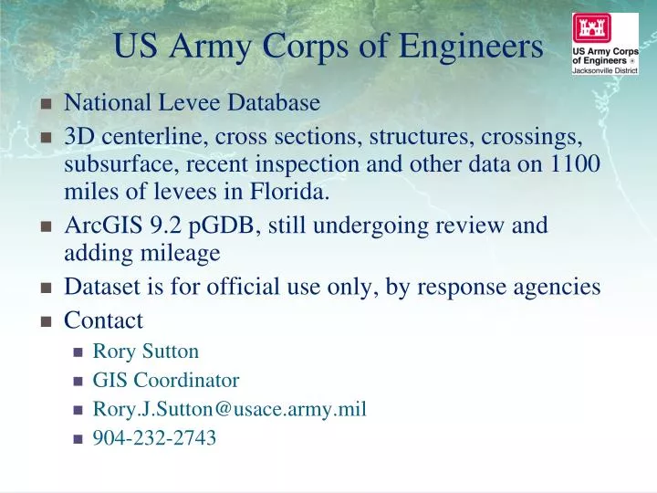
US Army Corps of Engineers. National Levee Database 3D centerline, cross sections, structures, crossings, subsurface, recent inspection and other data on 1100 miles of levees in Florida. ArcGIS 9.2 pGDB, still undergoing review and adding mileage

E N D
US Army Corps of Engineers National Levee Database 3D centerline, cross sections, structures, crossings, subsurface, recent inspection and other data on 1100 miles of levees in Florida. ArcGIS 9.2 pGDB, still undergoing review and adding mileage Dataset is for official use only, by response agencies Contact Rory Sutton GIS Coordinator Rory.J.Sutton@usace.army.mil 904-232-2743
US Army Corps of Engineers • Herbert Hoover Dike Inundation Maps • Map series depicting inundation due to breaching of HHD with Lake Okeechobee at three different levels • ESRI floating point Grids for the various breach locations and Lake levels • Dataset is for official use only, by response agencies • Contact • Brent Trauger • Dam Safety Program Manager • Brent.Trauger@usace.army.mil • 904-232-2468