Download
1 / 17
170 likes | 278 Vues
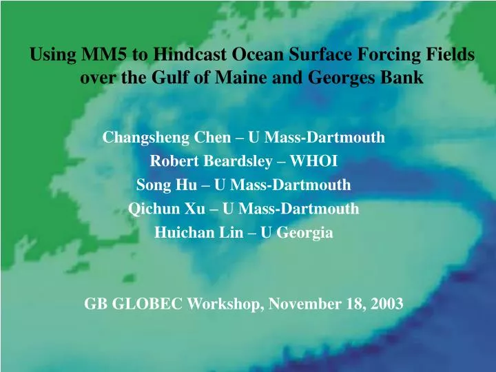
Using MM5 to Hindcast Ocean Surface Forcing Fields over the Gulf of Maine and Georges Bank. Changsheng Chen – U Mass-Dartmouth Robert Beardsley – WHOI Song Hu – U Mass-Dartmouth Qichun Xu – U Mass-Dartmouth Huichan Lin – U Georgia GB GLOBEC Workshop, November 18, 2003. Outline of Talk.

E N D
Using MM5 to Hindcast Ocean Surface Forcing Fields over the Gulf of Maine and Georges Bank Changsheng Chen – U Mass-Dartmouth Robert Beardsley – WHOI Song Hu – U Mass-Dartmouth Qichun Xu – U Mass-Dartmouth Huichan Lin – U Georgia GB GLOBEC Workshop, November 18, 2003
Outline of Talk • Description of MM5 • MM5 Setup • 1995 Hindcasts • Summary • Next Steps
MM5- 5th generation NCAR/Penn State mesoscale meteorological model • Features: non-hydrostatic, terrain-following, variable domain and spatial resolution, multiple grid nesting, nudging 4-D data assimilation, several PBL modules • Uses NCAR/NCEP or ETA weather model fields as initial and boundary conditions with two-way nesting capability • Integrated for 3 days with 12-hr spin-up • Model output fields used to construct 3-hr time series of surface wind, pressure, Ta, RH, wind stress and heat flux
PBL Models • Models designed to represent turbulent mixing due to vertical eddy diffusion K and free and forced convection in unstable weather conditions. • We considered four: Blackadar, ETA, MRF, Gayno-Seaman
The Gulf of Maine/Georges Bank MM5 Model System NCEP (2.5 degree) or ETA (30 km) Nested Air stations Buoy data Satellite data Land stations Assimilation Regional domain MM5 (resolution: 30 km) Nested Assimilation SST Local buoy data Local domain MM5 (resolution: 10 km) Surface winds, Ta, Pa, RH, wind stress, heat flux, water flux
80o W 70o W 50o W 60o W 50o N 50o N Local domain 40o N 40o N Regional domain 80o W 70o W 60o W Horizontal Resolution: Regional domain = 30 km; Local domain = 10 km Vertical Resolution: 31-sigma levels Numbers and Labels: Names of weather buoys
Simulated Assimilated
Simulated Assimilated
Short-wave Long-wave Latent Sensible
TOGA/COARE (TC2.5) heat flux algorithm (Fairall et al.,1996) • Computes wind stress, Qsen, Qlat using wind speed, Ta, RH, SST • Improved parameterization of surface roughness • Includes wind gustiness (most important at low wind speeds) • More realistic vertical profiles for stable and unstable weather conditions
Summary • MM5 with assimilation of buoy wind data and daily SST and modified PBL model can provide a reasonable hindcast wind field and long-wave, sensible, and latent heat flux components in the Gulf of Maine/Georges Bank region (=> adequate for ocean modeling) • Method used to estimate short-wave radiation in MM5 needs improvement (=> need for in situ short-wave flux measurements or remote-sensing approach) • QuikSCAT wind data do not resolve the wind field during frontal passages due to precipitation (=> no substitute forin situ buoy measurements)
Next Steps • Develop better insolation method for MM5 • Convert TC2.5 to new COARE2.6 heat flux algorithm in MM5 PBL module (increased stress, Qsen,Qlat at higher wind speeds, valid to 20 m/s) • Migrate to new NOAA/NCAR Weather Research and Forecasting (WRF) mesoscale model