Download
1 / 16
160 likes | 265 Vues
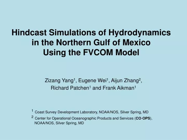
Hindcast Simulations of Hydrodynamics in the Northern Gulf of Mexico Using the FVCOM Model . Zizang Yang 1 , Eugene Wei 1 , Aijun Zhang 2 , Richard Patchen 1 and Frank Aikman 1. 1 Coast Survey Development Laboratory, NOAA/NOS, Silver Spring, MD

E N D
Hindcast Simulations of Hydrodynamics in the Northern Gulf of MexicoUsing the FVCOM Model Zizang Yang1, Eugene Wei1, Aijun Zhang2, Richard Patchen1 and Frank Aikman1 • 1Coast Survey Development Laboratory, NOAA/NOS, Silver Spring, MD • 2Center for Operational Oceanographic Products and Services (CO-OPS), • NOAA/NOS, Silver Spring, MD
Introduction NGOFS - NOAA/NOS Northern Gulf of Mexico Nowcast/Forecast System - Scheduled to start operational runs on April 1, 2012! Northern GOM • Maritime navigational safety: water level, velocity and T/S • - Support NOS Port OFS development: open boundary conditions • - Ecosystem related modelings: HAB, Hypoxia, etc NGOFS domain
Outline • Numerical Methods • Setup of Hindcast simulations • Results • Model-data comparisons • Summary & Future work
Methods • Finite Volume Coastal Ocean Model (FVCOM) • Unstructured, 3-D prognostic, hydrostatic • Forcing • Open ocean boundary • Meteorological forcing • River discharge • - Model grid • Horizontal resolution: 150 m–11 km • Vertical co-ordinate: 41 sigma levels • H < 200 m: evenly spaced • H > 200 m: top/bottom 5 layers: constant 5-m spacing • middle layers: evenly spaced Nodes: 90,267 Elements: 174,474 Bathymetry
Coupling with Regional Ocean Models • NOAA/NOS NGOM • 1st hindcast Period: July’ 08-Sept’ 09 • Navy Global NCOM (region 1) • 2nd hindcast Period: Sept.’ 08-March’ 11 • Bathymetry on open ocean boundary • Non-tidal water level, u, v, and T/S
Results • Consistency with coupled NGOM/NCOM results • Data-model comparisons • Data: TABS, NWLON, C-MIST • Time series: water level, (u,v), and T/S • TABS - Texas Automated Buoy System • NWLON - NOAA/NOS National Water Level Observation Network • C-MIST – NOAA/NOS Currents Measurement Interface for the Study of Tides
Consistency with NGOM Results T (deg C) (10-m depth) 2009-04-01 T00:00 2008-09-01 T00:00 NGOM NGOFS NGOM NGOFS S (psu) (10-m depth) 2008-09-01 T00:00 2009-04-01 T00:00 NGOM NGOFS NGOM NGOFS
Consistency with NCOM Results T (deg C) (10-m depth) 2010-11-01 T00:00 2011-03-01 T00:00 NCOM NGOFS S (psu) (10-m depth) 2010-11-01 T00:00 2011-03-01 T00:00 NCOM NGOFS NCOM NGOFS NCOM NGOFS
1st Hindcast – Water Levels & Currents C-1 Water level C-1 C-2 C-2 Wl-3 C-2 C-1 Currents Wl-1 Wl-2 Sta: C-1 b: obs r: ngofs Speed (m/s) Sta: wl-1 b: obs r: ngofs Sta: wl-2 Dir (deg from N.) Sta: C-2 Speed (m/s) Sta: wl-3 Dir (deg from N.)
1st Hindcast – T/S C Blue: observationsRed: NGOFS T B A S Sta A Sta A: A Sta B Sta B Sta C Sta C
2nd Hindcast - Water Level & Currents A D C B B A Sta A Sta A black: obsred: NGOFS Speed (m/s) black: obsred: NGOFS Sta B Direction (deg from N.) Sta B Sta C Speed (m/s) Sta D Direction (deg from N.)
2nd Hindcast: Temperature (deg C) E F D B C A StaA StaD black: obsr: NGOFS black: obsr: NGOFS StaB StaE StaC StaF
2nd Hindcast: Salinity (psu) black: obsred: NGOFS Sta A A Sta B C D Sta C B Sta D
Summary • Two hindcast simulations • 1 period: July’ 08-Sept’ 09 • coupled with NOAA NGOM • 2 period: Sept.’ 10-March’ 11 • coupled with Navy NCOM • Successful coupling with basin-scale models • Favorable model-data agreement
Future Work • Continue skill assessments • TABS, NWLON, C-MIST, CTD • Satellite SST • Optimize model parameter setup Questions ?