Download
1 / 10
100 likes | 105 Vues
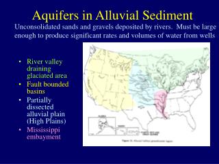
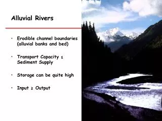
Gravel Extraction in Alluvial Rivers. Gravel Extraction as a Historical Economic Industry and its Morphological Effects on the West Branch of the Little River, Stowe, Vermont Erin Turner Geography 246 November 18, 2004. Objective.

E N D
Gravel Extraction in Alluvial Rivers Gravel Extraction as a Historical Economic Industry and its Morphological Effects on the West Branch of the Little River, Stowe, Vermont Erin Turner Geography 246 November 18, 2004
Objective • Link changes in channel morphology of the west branch of the Little River to gravel extraction by: • Observing two time periods (1962 and 2000). • Determining profile, sinuosity, area, and width of the channel for each time period. • Determining presence and area of gravel bars for each time period. • Obtaining historical information about gravel extraction amounts.
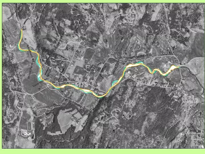
Methods • Digital orthophotos (2000) and aerial photos (1962) - georeferenced. • Digitized the stream channels for both years-calculated areas. • Digitized gravel bars-calculated areas. • Digitized and calculated stream lengths, measured valley length - sinuosity. • Digitized data collection points (10) - measured stream width for both years, measured how far each bank had migrated over time. • Looked at historical records of gravel extraction (1980-1986).
Results • Digitized gravel bars: 1962 and 2000
Results • Digitized lengths, calculated areas of river and gravel bars, and calculated sinuosity • 1962: larger area, shorter length, moderate meanders, less gravel bars, smaller area of gravel bars.
Digitized data points Results
Measured widths and shift of the channels at the data point locations Results
Conclusions • There was obvious channel change between 1962 and 2000. • Can not attribute change to gravel extraction alone because….. • Vertical channel change was not measured. • Role of other contributing factors including deforestation, development, or other stream alterations not considered. • Limited time period analyzed.
Coming Soon… • Gravel extraction amounts: 1980-1986. • What does it all mean? • A paper synthesizing all of my findings and discussing results. • Continued research into next semester…