Download
1 / 46
480 likes | 675 Vues
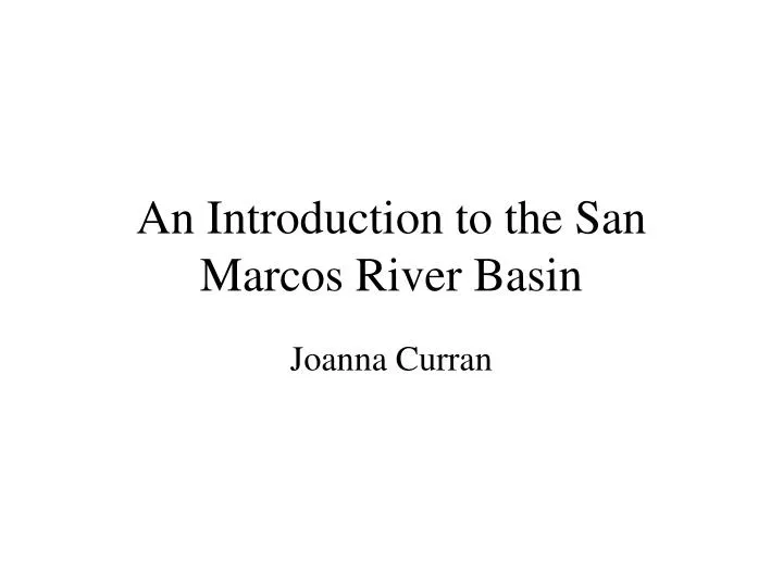
An Introduction to the San Marcos River Basin. Joanna Curran. San Marcos – not considered a large watershed contained within the Guadalupe Watershed which is a subwatershed of the Texas Gulf. San Marcos Basin. Texas State University. Background Information.

E N D
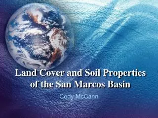
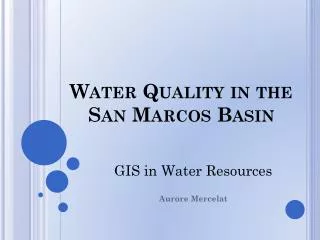
An Introduction to the San Marcos River Basin Joanna Curran
San Marcos – not considered a large watershedcontained within the Guadalupe Watershed which is a subwatershed of the Texas Gulf
San Marcos Basin Texas State University
Background Information • Climate type is Humid Subtropical: • hot summers and mild winters • During tropical storm season this area experiences • periods of heavy rainfall and short term flooding • Average annual temperature is 69 F • Average annual rainfall is 35.74 inches • Prevailing winds dominate from the Southeast
History of Spring Lake • An earthen dam constructed in 1849 by Gen. Burleson just below the headwaters of the San Marcos River formed Spring Lake.
Some springs were only partially capped during operation by the Amusement Park
Comal and San Marcos Springs are the major outflow points for the Edwards Aquifer
For legal consideration, the flow at San Marcos Springs is tied to the level of the J-17 well
FountainDarter • Size - Average of one inch long • Description - Reddish brown; It displays a series of dark, horizontal, stitch-like lines along its sides and three dark spots at the base of the tail. Dark bars appear below, behind, and in front of the eyes. • Habitat - The fountain darter prefers clear, quiet backwaters with a profuse bottom growth of aquatic plants and matted algae. It is found in the Comal River and San Marcos rivers.
Description - Had dark edges on dorsal and caudal fins, distinctly cross-hatched side, and was the only Gambusia species with lemon yellow median fins. Range - This species was restricted to a limited portion of the San Marcos River spring run a few kilometers below the headsprings. It always has been rare, and its existence difficult to document. Remarks - San Marcos gambusia were captured alive in 1979 and 1980. Despite considerable efforts to secure this species since then, none has been taken. San Marcos Gambusia
Texas Blind Salamander Size - 3 1/4 to 5 3/8 inches Description - This salamander is a ghostly white to pink, with an iridescent appearance. The skin is translucent, and the larger organs are visible through the sides and belly. The head is large, with a strongly flattened snout and small black dots representing vestigial eyes under the skin. The body is slender, and the tail is about the same length as the head and body, tapering at the tip. Range - Found in the Balcones Escarpment of the Edwards Plateau, mostly underneath the city of San Marcos. Habitat: It lives in the perpetual darkness of underground streams and caves in the Purgatory Creek system. It is seen above ground only when pumping or the natural outflowing of the underground waters brings it to the surface.
Size - 3 to 7 ft. long Habit - Aquatic perennial, below surface in swift water with only flowering stalk above, or upper stems and leaves above surface in slow water; stems rooting at joints. Leaves - Linear, elongate, green, to 45 in. long, 1/4 to 1 in. wide. Texas Wild-Rice
Longitudinal survey of surface sediment into basic size fractions – most of the surface was visible
Longitudinal survey of dominant vegetation in the river – secondary vegetation was also mapped
Surface sediment, vegetation, flow data, water quality data, and endangered species sampling data are combined to identify separate habitat types
Moving forward from 1993 to present Instead of looking at only the river, a watershed approach is used to study the San Marcos Modeling tools are available
An Evaluation of Spring Flows to Support the Upper San Marcos River Spring Ecosystem Texas Parks and Wildlife Report published in 2001 Used RHABSIM: Riverine Habitat Simulation Model to identify the percentage of the San Marcos River that would be suitable habitat for the endangered species under different flow scenario Measured at cross-sections along the channel length for input to the hydraulic model
1996 study grew Texas Wild Rice in controlled conditions with the goal of finding the preferred substrate for growth • Three sediment types were selected : • a moderately fine sediment from Sewell Park in the San Marcos River • a coarse sediment from the confluence of Sessom Creek and the San Marcos River • a very fine soil adjacent to the San Marcos River high root to shoot ratio of plants grown in clay which had intermediate nutrient concentrations; and, low productivity by plants grown in gravel and clay suggest that soil texture as well as nutrient concentration play an important role in Texas wildrice growth. Paula Power: Journal of Aquatic Plant Management, 1996
The San Marcos River Rangers - Measure Temperature, Dissolved Oxygen, Conductivity, pH, Nitrate, Phosphates in the San Marcos River http://www.riverrats.net/smrr/ranger.htm Texas Watch - Measures Temperature, Dissolved Oxygen, Conductivity, pH, Nitrate, Phosphates in the San Marcos River as well as throughout the watershed and elsewhere in Texas http://www.texaswatch.geo.txstate.edu
San Marcos River Rangers Monitoring Sites: 1 – Aquareana Springs 2 – Springlake Dam East 2 – Springlake Dam West 3 – Sessom Creek 4 – Purgatory Creek 5 – Rio Vista 6 – IH35 7 – Thompson Island 8 – Fish Hatchery 9 – Cummings Dam 10 – Westerfield Crossing
Current Issue: Effects of NRCS dams built between 1981-1991 upstream of Spring Lake • NRCS dams were built to reduce flooding in San Marcos • In the meantime, construction (esp. at Texas State) has increased the supply of sediment to the channel • construction sediments, and naturally eroded sediments, enter the system downstream of the dams • flows that would normally move the sediments are reduced by the NRCS dams • A large gravel and sand bar/delta has developed just downstream of Spring Lake dam
Current Master’s Thesis work: Fluvial Geomorphology and Texas Wild Rice Habitat in the San Marcos River • have floods changed in magnitude and frequency since the creation of the NRCS flood control dams? • how has the geomorphology of the upper San Marcos changed since the NRCS dams were completed and do these changes correlate to Texas wild-rice habitat? • does a flood enhance or degrade Texas wild-rice habitat? The findings of this study-in-progress suggest that the ecosystem is dependent on a flow regime composed of consistent springflows along with the full range of peak flows necessary for flushing, scouring, sediment transport, and channel maintenance.
An Example of the SWAT (Soil and Water Assessment Tool) Model from the Blanco Watershed
Weather Data Elevation + Soils + Weather = SWAT Land Use + SWAT takes the user input data of land use, weather, soils, etc along with adjustable parameters and hydraulic equations to make predictions over each sub-basin and define HRU’s