Download
1 / 9
90 likes | 244 Vues
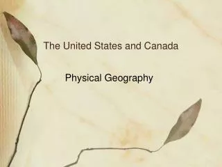
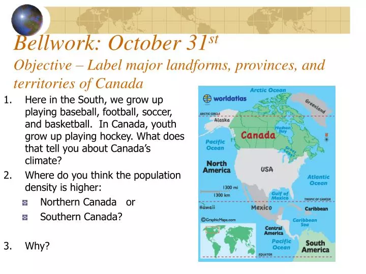
Bellwork: October 31 st Objective – Label major landforms, provinces, and territories of Canada. Here in the South, we grow up playing baseball, football, soccer, and basketball. In Canada, youth grow up playing hockey. What does that tell you about Canada’s climate?

E N D
Bellwork: October 31stObjective – Label major landforms, provinces, and territories of Canada • Here in the South, we grow up playing baseball, football, soccer, and basketball. In Canada, youth grow up playing hockey. What does that tell you about Canada’s climate? • Where do you think the population density is higher: • Northern Canada or • Southern Canada? • Why?
Put your Burrito Book on your desk. Turn to page 34-35 in the yellow/green atlas.
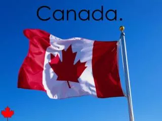
Burrito Book • On the cover: • Your name (first and last) • Chapter 6 • Illustrate Canada’s flag.
Turn to page 34-35 in the Nystrom Desk Atlas At the bottom of the map on page 1 write: Be Careful!! And Slowly Meditate Over Quebec!!
At the top of page 2 (Burrito Book), write this analogy: States are to the United States as provinces are to Canada.
Canada’s Landforms Rocky Mountains Hudson Bay St. Lawrence River – Lake Winnipeg Pacific Ocean Atlantic Ocean Arctic Ocean - Bering Strait - Canada’s Provinces(10) and Territories (3) British Columbia - Red Alberta - Purple Saskatchewan – Blue Manitoba - Orange 5. Ontario - Yellow 6. Quebec - Brown Newfoundland and Labrador - Green 8. New Brunswick – Red 9. Prince Edward Island - Orange 10. Nova Scotia - Purple 11. Yukon Territory - Green 12. Northwest Territories - Brown 13. Nunavut – Red 14. ***Ottawa (National Capital) Canada Map KeyDesk Atlas – pg. 34-35
4. 5. 9. 6. 3. 2. 8. 7.