Download
1 / 25
250 likes | 271 Vues
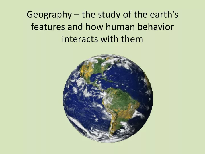
Geography – the study of the earth’s features and how human behavior interacts with them. DO NOW: Oregon Regions. Your individual task: 1. Draw an outline of Oregon 2. Draw/ Identify the regions on the state 3. Label each

E N D
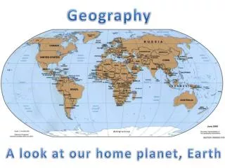
Geography – the study of the earth’s features and how human behavior interacts with them
DO NOW: Oregon Regions Your individual task: 1. Draw an outline of Oregon 2. Draw/Identify the regions on the state 3. Label each 4. Write a sentence explaining WHY you labeled the area as you did
Turn-and-Talk with your Partners • Find your partner • Share out your regions map and see you if thought similar or different! • If there are differences try to discuss/figure out the reason for each of your labeling (past experience? Education? Family? Etc.)
Often, the earth is divided into REGIONS - areas distinguished from one another
But, how are regions formed? Are there always clear cut boundaries from one region to the next?
No two places in the world are exactly the same! Shared characteristics among places provide a means for geographers to group places together for a more manageable unit of study, regions!
Geographic Regions • Represent great clusters of humankind or physical characteristics • Change over time • May differ based on point of view • Vary in size • Separated from other regions by transition zones • Edge of a region • An area of spatial change • An area of mixed characteristics
What Defines a Region? Regions are based on SPATIAL CRITERIA • Location, location location • Common characteristics • Physical (Natural) • Climate, landforms, vegetation, rivers… • Human (Cultural) • Language, political, religion, ethnicity, disease…
Types of Regions Formal Functional Perceptual (we will go over each individually on the following slides)
You are standing in Salem, in the State of Oregon, in the United States of America, on the continent of North America… How many regions are you in?
They are all formal regions! You are standing in 5 regions at once!
On the test – you will need to not only give an example of a formal region but also identify the characteristic(s) that make it a region Formal Regions • Has at least 1+ uniform characteristics (often is defined by government or other structure) • Think measurable data, that distinguish it from the surrounding area • Traits can range from characteristics about the local population as language, income, or religion to such physical characteristics as elevation (valleys) or climate CAN BE POLITICAL ENTITIES CLIMATE REGONS OR LANDFORM REGIONS Remember, formal can be physical: • ie. The Great Lakes Region • The Bible Belt IF mapping Baptist churches
Examples of Formal Regions • States: Oregon, Texas, Hawaii etc. • Countries: The United States, Mexico, etc. • Cities: Dallas, Portland, Los Angeles etc. • The area of town where the wealthiest people live • The Sahara Desert of Africa (physical characteristic) • U.S. city where more than 50% of the population speak Spanish as a first language KEY: All Formal Regions are based on MEASURABLE data!
Functional Regions (Nodal Regions) • Defined by the connections and interactions that occur between a node and surrounding areas (transportation and communication) • Have a node w/ activity space going to and from – a central place and surrounded places are affected by it. *Often, this is a metropolitan area of a larger city with lots of smaller cities around it (think Portland-Metro) * With globalization many functional regions continue to increase in size, get bigger
Examples of Functional Regions • The Dallas/Fort Worth metropolitan area – share a common airport located between the two cities KEY: All Functional Regions involve the influence of a CENTRAL NODE on it’s surrounding area.
Perceptual Regions • Arguable, b/c they are based on perspective • These are the maps we carry in our heads and how we see the world! (many times stereotypes or assumptions)
What do you think when I say…. Southern California? The South? New York? The Middle East?
R E V I E W
Guess the Regions! • State of Oregon • Amazon River • Dixie • Country of Brazil • I5 Corridor • Chinatown • Beaver Country
Guess the Regions! • State of Oregon Formal • Amazon River Functional • Dixie Perceptual • Country of Brazil Formal • I5 Corridor Functional • Chinatown Perceptual • Beaver Country Perceptual