Download
1 / 10
100 likes | 326 Vues
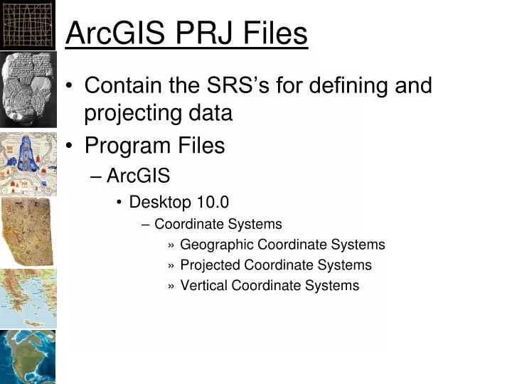
ArcGIS PRJ Files. Contain the SRS’s for defining and projecting data Program Files ArcGIS Desktop 10.0 Coordinate Systems Geographic Coordinate Systems Projected Coordinate Systems Vertical Coordinate Systems. Geographic Coordinate Systems. North America NAD 1927 NAD 1983 … World

E N D
ArcGIS PRJ Files • Contain the SRS’s for defining and projecting data • Program Files • ArcGIS • Desktop 10.0 • Coordinate Systems • Geographic Coordinate Systems • Projected Coordinate Systems • Vertical Coordinate Systems
Geographic Coordinate Systems • North America • NAD 1927 • NAD 1983 • … • World • WGS 1984 • …
WGS 1984 PRJ File Contents GEOGCS["GCS_WGS_1984", DATUM["D_WGS_1984", SPHEROID["WGS_1984", 6378137.0,298. 257223563] ], PRIMEM["Greenwich",0.0], UNIT["Degree",0.0174532925199433], AUTHORITY["EPSG",4326] ]
Projected Coordinate Systems • Continental • North America • North America Albers Equal Area Conic • North America Lambert Conformal Conic • State Plane • NAD 1927 (US Feet) • NAD 1983 (Meters) • UTM • World • World (Sphere-based)
Robinson (world) PROJCS["World_Robinson", GEOGCS["GCS_WGS_1984",…], PROJECTION["Robinson"], PARAMETER["False_Easting",0.0], PARAMETER["False_Northing",0.0], PARAMETER["Central_Meridian",0.0], UNIT["Meter",1.0], AUTHORITY["ESRI",54030]]
Projected Coordinate Systems • UTM • WGS 1984 • Northern Hemisphere • WGS 1984 UTM Zone 1N to 60N • Southern Hemisphere • WGS 1984 UTM Zone 1S to 60N • NAD 1983 • NAD 1983 UTM Zone 1N to 60N
UTM, Zone 10 North PROJCS["WGS_1984_UTM_Zone_10N", GEOGCS["GCS_WGS_1984”,…], PROJECTION["Transverse_Mercator"], PARAMETER["False_Easting",500000.0], PARAMETER["False_Northing",0.0], PARAMETER["Central_Meridian",-123.0], PARAMETER["Scale_Factor",0.9996], PARAMETER["Latitude_Of_Origin",0.0], UNIT["Meter",1.0], AUTHORITY["EPSG",32610]]