Download
1 / 23
240 likes | 394 Vues
Attributes in ArcGIS. ArcGIS Attributes. FID – ESRI’s internal identifier Shape – Actual spatial data. Adding Fields. Make sure the Shapefile is not marked as Read-Only Make sure you’re not in an edit session Select “Add Field” from the Options menu Name the field Select the type of data

E N D
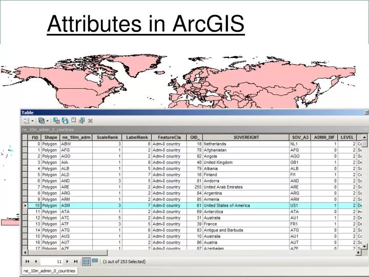
ArcGIS Attributes • FID – ESRI’s internal identifier • Shape – Actual spatial data
Adding Fields • Make sure the Shapefile is not marked as Read-Only • Make sure you’re not in an edit session • Select “Add Field” from the Options menu • Name the field • Select the type of data • Careful with “Precision”
Checking the Shapefile • Use the “File Explorer” or “My Computer” • Select all the files for the Shapefile by: • Shift-clicking each file • Drag the cursor over all of them • Right click on one of the selected files • If “Read-only” is checked: • Uncheck it • Click “OK”
Checking the edit session • Right click on the menu bar • Select “Editor” • If “Start Editing” is grayed out: • Select “Stop Editing”
Naming Fields • Arc only allows 10 characters • Remember you’ll be using the Name in calculations and queries!
Select the Field Properties • If you change the precision or scale: • Arc map may change the type for you! • Types: • Short Integer: 16-bit integer (5 digits) • Long Integer: 32-bit integer (9 digits) • Float: 32-bit floating point • Double: 64-bit floating point • Text: up to 254 characters • Date: MM/DD/YYYY format
Precision can change “Type” • ArcGIS will change the “Type” if you put in a precision that is beyond the specified type
Delete a Field • Must be outside an edit session
Editing Attribute Values • The attribute “table” contains rows and columns similar to a spreadsheet • However, it’s history and future are based on databases: • Columns=Fields • Rows=Records • We can add and delete columns (fields) • Adding and deleting features adds and deletes rows
Editing Attribute Values • If attributes won’t change: • Make sure you’re in an edit session • Double click on the cell to type in a new value • Use the “Field Calculator” to change entire columns
Starting an Edit Session • Without an Edit Session – ArcGIS will not track your changes so “Undo” will not work!
Making Changes • Click (or double-click) in the cell • Type changes – easy! • Dates are in MM/DD/YYYY format
Stop Editing! • If you don’t select “Stop Editing”, your changes will not be saved
Coordinate Attributes • It is common to see Lat/Lon or Easting/Northing in attribute tables for point layers • These are not the values used to render the spatial data! • These values are not updated when you project, edit, or transform the spatial data! • To update these columns…
Selection • Selection tab on TOC • Manual Selection • Click to select • Shift-click to add/remove from selection • Select by Attributes • Select by Location • Right click on layer -> Selection -> Create Layer From Selected Features • Then, “Export” the data to a new file
Select by Attributes • SELECT * FROM TableName WHERE: • “WHERE Clause” or Filters