Download
1 / 19
190 likes | 286 Vues
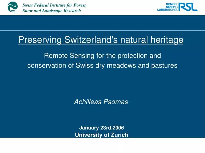
Preserving Switzerland's natural heritage Achilleas Psomas. Remote Sensing for the protection and conservation of Swiss dry meadows and pastures. January 23rd,2006 University of Zurich. Outline. Introduction-Problem description Project Objectives Research plan - Scaling

E N D
Preserving Switzerland's natural heritageAchilleas Psomas Remote Sensing for the protection and conservation of Swiss dry meadows and pastures January 23rd,2006 University of Zurich
Outline • Introduction-Problem description • Project Objectives • Research plan - Scaling • Scientific collaboration • Remote Sensing – Spectral Reflectance • Potential Outcome
Introduction • Dry meadows and pastures in Switzerland are species-rich habitats resulting from a traditional agricultural land use. • Compositional and structural characteristics depend on climate, topography, and the cultural history of each area • 40% of plant and over 50% of animal species present on dry meadows are classified as endangered • 90% of dry grasslands have been transformed to other land cover types
Introduction • Based on the Federal Law on the Protection of Nature and Landscape, the most valuable grasslands areas should be mapped and evaluated • TWW Project "Dry Grassland in Switzerland"(Trockenwiesen und –weiden) • Initiated in 1995 • Creation of a federal inventory so ecologically valuable grasslands could be given an increased protection provided for by law. Limitations of existing methods • Time consuming • Very expensive • Monitoring difficult
Research Objectives - Research Plan General Objective • To develop, apply, and validate different methods based on remote sensing datasets and techniques for identification and monitoring of dry meadows and pastures in Switzerland • Main Project blocks: • Part A:Field Spectrometry-(Plot to Field) • Part B:Imaging Spectrometry-(Field to Region) • Part C:Multitemporal Landsat TM approach-(Region to • Landscape)
Remote Sensing – Spectral Reflectance • The total amount of radiation that strikes an object is referred to as the incident radiation incident radiation = reflected radiation + absorbed radiation + transmitted radiation
Remote Sensing – Spectral Reflectance • Spectral Response of Vegetation
Scientific collaboration • Swiss Federal Research Institute WSL,Switzerland • Remote Sensing Laboratories,University of Zurich Switzerland. • Wageningen University, The Netherlands • Oak Ridge National Laboratory,Utah State University,USA
Potential Outcome-Benefits • Valuable scientific outcome since assessing the status and historical range of spectral variability of conserved grasslands has not been performed to date. • Strong scientific collaboration and networking. • A well tested set of statistical tools for identification, planning and monitoring of dry meadows in Switzerland. • Significant reduction of financial costs for monitoring purposes. • A faster and more efficient response to grassland-type change since field teams can go directly to pre-selected “hot spots”. • A merge of traditional sampling methodologies with cutting edge technology like advanced remote sensing sensors.
Research Plan Main Project blocks: Part A:Field Spectrometry-(Plot to Field) Part B:Imaging Spectrometry-(Field to Region) Part C:Multitemporal Landsat TM approach-(Region to Landscape)
Research Objectives General Objective • To develop, apply, and validate different methods based on remote sensing datasets and techniques for identification and monitoring of dry meadows and pastures in Switzerland Specific Objectives • Examine the potential of using the seasonal variability in spectral reflectance for discriminating dry meadows and pastures. • Identify the best spectral wavelengths to discriminating grasslands of different type. Which are the spectral wavelengths with statistical significant differences? • Identify the optimal time or times during the growing season for discriminating different types of grasslands.
Discussion-Further steps • Increased spectral resolution of hyperspectral recordings provide big opportunities for discriminating grassland types. • Multitemporal recordings give a better understanding of the differences between grassland types during the growing season. • Analysis on continuum removed spectra gave a more stable but smaller number of significant wavelengths, enhancing certain features and smoothing others. • Spectral variability within the grasslands is important and needs to be taken into consideration. • Processing of the data and statistical analysis is done in R, easily repeated and adjustable.