Download
1 / 8
80 likes | 206 Vues
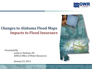
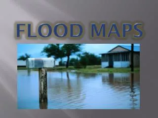
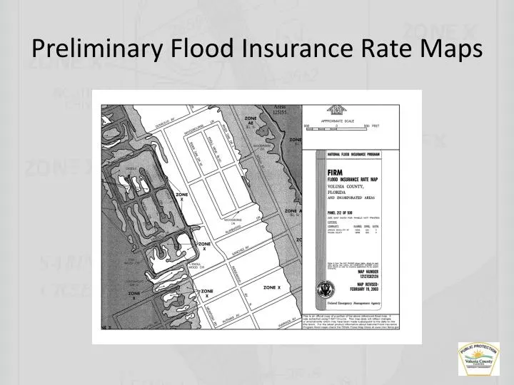
Preliminary Flood Insurance Rate Maps. Preliminary Flood Insurance Rate Maps. What is a Flood Insurance Rate Map (FIRM) and how do I use it?* A FIRM is a map created by the NFIP for floodplain management and insurance purposes. Digital versions of these maps are called DFIRMs .

E N D
Preliminary Flood Insurance Rate Maps What is a Flood Insurance Rate Map (FIRM) and how do I use it?* • A FIRM is a map created by the NFIP for floodplain management and insurance purposes. Digital versions of these maps are called DFIRMs. • A FIRM will generally show a community's base flood elevations, flood zones, and floodplain boundaries. As a property owner/renter, this map is used to get a reliable indication of what flood zone they are in. However, maps are constantly being updated due to changes in geography, construction and mitigation activities, and meteorological events. Therefore, for a truly accurate determination, contact an insurance agent or your community floodplain manager. *Source: Floodsmart.gov
Preliminary Flood Insurance Rate Maps • FEMA updates community FIRMs ~ 10 years • Contracts with a private sector engineering company to conduct hydraulic/hydrologic modeling (in our case Taylor Engineering) • Contractor works with local communities to collect historic flood information/high water marks • Current FIRMs dated 2002/2003 • Based on USGS 5 foot contour maps • Old data (circa 1980’s)
Preliminary Flood Insurance Rate Maps • New FIRMs based on county LiDAR data (Light Detection And Ranging) • LiDAR is a remote sensing method that uses light in the form of a pulsed laser to measure ranges (variable distances) to the Earth. These light pulses—combined with other data recorded by the airborne system— generate precise, three-dimensional information about the shape of the Earth and its surface characteristics.
Preliminary Flood Insurance Rate Maps • Result is extremely accurate topographic data (LiDAR scanners can generally scan with an accuracy of about 2 centimeters (0.79 inches) at an elevation of 4,000 feet) • Reduces mapping effort and increases efficiency and accuracy • State-of-the-art science • Particularly important because of Biggert-Waters NFIP Reform Act of 2012 • Preliminary maps become effective February 19, 2014