Download
1 / 12
120 likes | 310 Vues
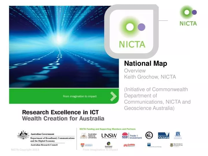
National Map Overview Keith Grochow, NICTA (Initiative of Commonwealth Department of Communications, NICTA and Geoscience Australia). The Problem. Main Driver The Australian government must make data open by default. Current State

E N D
National Map Overview Keith Grochow, NICTA (Initiative of Commonwealth Department of Communications, NICTA and Geoscience Australia)
The Problem • Main Driver • The Australian government must make data open by default. • Current State • Most gov’t entities (~all) have very little experience in how to do this in a usable, reliable way. • Larger organizations (Fed/State) usually have an existing content management system. • Smaller ones have nothing or, if a motivated soul exists, they have an open source solution like GeoServer. • The viewing solutions are limited (2D) or expensive (GE). • Goal • They are searching for cheaper solutions that are compelling, flexible, open, and leverable across various gov’t environments.
The National Map Project • Initiative of Department of Communications to: • Provide easy access to authoritative and other spatial data to government, business and public • Facilitate the opening of data by federal, state and local government bodies • Provide an open framework of geospatial data services that supports commercial and community innovation More data services available More users using data services
Vision: An open national map C/wealth govt agency authoritative data services State govt authoritative data services GA data ABS data BoM data … Elevation data Map imagery … State data Map browser code and data mgmt QLD data Terrain server WA data Tile map server … Govt open data directory Internet Other data and services Data.gov.au Value-add commercial and community services (analytics, visualisations, mashups) Tablet Web browser
System design goals: open national map • Open data • Direct service from open data repositories (like data.gov.au and similar state ones) • Easy access to actual data sets from NM UI (not just visualisation) • Open protocols and data formats • Supports OGC protocols (WMS, WFS), GeoJSON, KML, CSV, etc • All data services can be accessed outside National Map as well as inside it • Open source • Open source front-end; back-end data services can use open source • Vendor neutral at back end (government agency) • ESRI’s ArcGIS, Google Maps Engine, open source software (egGeoserver) • Vendor neutral at front end (browser) • Work with any modern browser (Chrome, Firefox, IE9 and later, iPads, etc) • Direct access from data custodian • Live data service direct from government agency (or delegate) • Authoritative data services • Eg Administrative boundaries, place names • Multi-jurisdiction • Commonwealth, states, local government • Multi-custodian • Data from many different agencies - GA, ABS, BoM, ATO, Dept of Comms, state agencies • Platform for commercial, community and agency innovation • Interfaces to support value-add services (eg analytics, visualisation, sharing, printing)
Architecture: In-browser National Map User Interface NICTA is developing these • Connects to services: • OGC, ESRI, GME • Data loading: • URL, Drag and drop • Data formats: • KML, CSV, GeoJSON, etc Geospatial Data Manager (Selecting and loading data sets and services) Existing open source software Cesium (open source 3D map display) Leaflet (open source 2D map display) Browser (eg Chrome, Firefox, Internet Explorer, Safari) on desktop and mobile HTML5 Canvas support WebGL support
Results • Proof of concept delivery – mid-July • Small team – 1-2 dev, 1 ui • 3 months kickoff to delivery • Successful release at national GovHack • 11,500+ unique visitors to date • 4+ minutes average session • Signed up for 6 month project to create production Australian National Map • Refactor – csv/wfs/wcsdatasource, leaflet vis • Implement unique, compelling features – smart regions • Bring in more gov’ts – especially state gov’ts • Check out nationalmap.nicta.com.au
Currently available data services • All now available from their custodian and in National Map • Land (Geoscience Australia) • Gravity, land cover, magnetic image, surface geology, hillshade • Water (Bureau of Meteorology’s Geofabric) • Water bodies, streams and rivers, catchments, estuaries, boreholes, waterholes, river regions, drainage divisions, aquifer contours, water table aquifers • Infrastructure (Geoscience Australia’s Geotopo 250k) • Roads, railroads, airports, ferry routes, pipelines, power lines • Boundaries (Australian Bureau of Statistics) • States and territories, local government areas, postal areas, commonwealth electoral divisions, state electoral divisions, state suburbs, natural resource management regions, Australian drainage divisions, tourism regions, statistical boundaries • Population (Geoscience Australia) • Cities • Populated places • Other data sets and services via data.gov.au • More coming!