Download
1 / 13
150 likes | 265 Vues
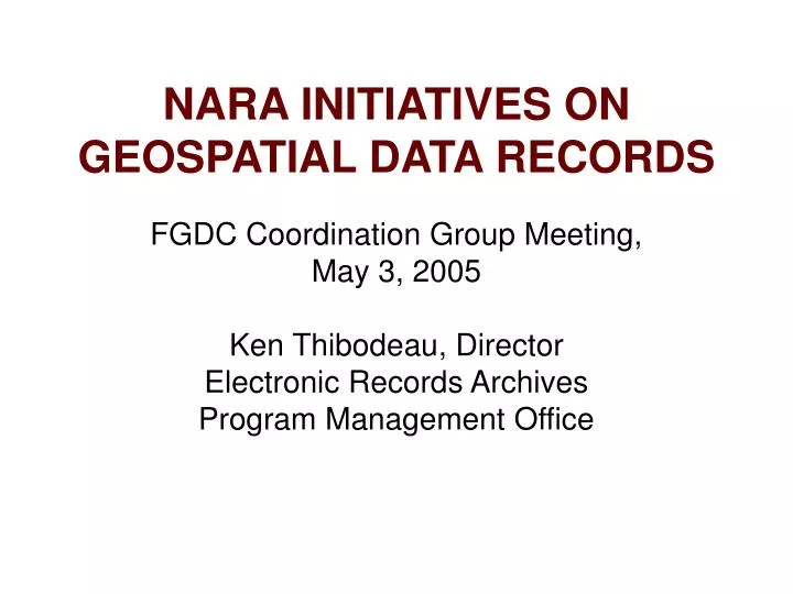
NARA INITIATIVES ON GEOSPATIAL DATA RECORDS. FGDC Coordination Group Meeting, May 3, 2005 Ken Thibodeau, Director Electronic Records Archives Program Management Office. Geospatial Data : Federal Records. A Federal Record

E N D
NARA INITIATIVES ON GEOSPATIAL DATA RECORDS FGDC Coordination Group Meeting, May 3, 2005 Ken Thibodeau, Director Electronic Records Archives Program Management Office
Geospatial Data : Federal Records • A Federal Record • Any piece of information, regardless of form or characteristics, made or received by an agency in going about its business • That is, or should be, kept • As evidence of that activity • Because it contains valuable data • 44 U.S.C. 3301 • NARA • Provides direction, guidance, and assistance to all agencies in managing their records, and • Preserves records with “enduring” value in the National Archives • Through lifecycle management of records
Directives and Guidance • 36 CFR Subchapter B - Records Management • Part 1228 -- Disposition of Federal Records • Scheduling Records • Transfer of Records to Records Storage Facilities • Transfer of Records to the National Archives of the United States • 1228.268 Cartographic and architectural records • 1228.270 Electronic records • Guidance (examples) • Disposition of Federal Records • Documenting Your Public Service • Managing Audiovisual Records • Managing X-Ray Films as Federal Records • Moving? Consolidating? Reorganizing? • Vital Records and Records Disaster Mitigation and Recovery
Process for Saving Geospatial Records • Authorize Disposition for all Records • Temporary & Permanent • Identify records with Archival Value • To be transferred to the National Archives, • Or to an “affiliated archives,” • Or to be preserved by the originating agency • Coordination across agency divisions
Types of Cartographic Records Preserved in the National Archives • Exploration and Scientific Surveys • Public Land Surveys and Settlement • Indian Affairs • Hydrography and Navigation • Topography and Natural Resources • Census Mapping • Urban Development • Maps of Foreign Countries • Military Campaigns • Aerial Photographs
Digital Spatial Data Records in the National Archives • Records of The National Agricultural Statistics Service • Crop Estimates: County-level Estimates Of Crop Yields, 1972-1989 • Records of The Bureau of The Census • Annual Housing Surveys/American Housing Surveys (AHS), Standard Metropolitan Statistical Areas • Census of Population And Housing, 1950, Public Use Sample, 1/100 Sample • Records of The U.S. Joint Chiefs of Staff • Combat Air Activities File (Cacta), Oct. 1965-dec. 1970 • Records of The National Institute of Education • National Assessment of Educational Progress, Study Year 1, 1969-1970 • Records of The Historic American Buildings Survey • Historic American Buildings Survey/ Historic American Engineering Records Database • Records of The Law Enforcement Assistance Administration • Capital Punishment In The United States, 1973-1987 • Records of The Environmental Protection Agency • Toxic Chemical Release Inventory System
NARA Targeted Assistance Initiative • NARA and NPS, USFS, BLM, and Fish and Wildlife to schedule their GIS Fire Management Records • Big Problems • Widely Dispersed • Lack Strategy
Current Standards for Transfer of GIS Records • Spatial Data Transfer Standard • FGDC Content Standards for Digital Geospatial Metadata
Electronic & Special Media Services Division • Transfer: getting data into NARA • Verify: records are what was scheduled for transfer • Validate: records conform to specs • Preserve and Store: tar and put on DLTs • Reference: provide access on request
Aspects of the Electronic Records Challenge • Diversity • Complexity • Open-ended Growth • Obsolescence • Continuing change • Durability
Electronic Records Archives Vision “The Electronic Records Archives will authentically preserve and provide access to any kind of electronic record, free from dependency on any specific hardware or software, enabling NARA to carry out its mission into the future.”
NationalScienceFoundation Global Grid Forum Army ResearchLaboratory National Agricultural Library Partnerships San Diego Supercomputer Center NIST National Center for Supercomputing Applications
Research with NARA Holdings Mapping Herbicide Missions in Vietnam Adding alphanumeric data to map layers