Download
1 / 15

E N D
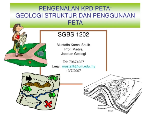
What is a geological map ? • A geological map gives information on the superficial layers of the earth’s crust. The geological formations are listed according to their composition (lithology), their age (stratigraphy) and their structural position (tectonic). They are placed on a topographic base (map) using different graphic elements (symbols, figuratives and colors). The choice of scale depends on the geological content and the intended objective of the map.
A geologic map is an illustration of a huge volume of geologic information. Using a geological map, a geologist can show the distribution of rock bodies at the surface of the Earth and geologic structures which have deformed those rocks. [Photo of Bright Angel quadrangle}
Geological maps show the occurrence, nature, extent and stratigraphic age of rock strata in a district
How are geological maps made ? • The essential condition for establishing a geological detail map is a precise field survey, based on numerous measurements and observations. The topographic base is generally taken from maps at a scale of 1:10'000, such as those of the comprehensive cadastral plans. • The field geologist determines the rock type according to various criteria and measures its orientation. All data are transcribed onto the map and in a field notebook. Besides the natural or artificial outcrops, data from bore holes or important test holes are taken in consideration. • In the case of a doubtful rock identification, complementary investigations are carried out in the laboratory on samples of these rocks. • At the end of the field survey, the geologist establishes an original draft at a scale of 1:25'000 and constructs some geological sections across the studied sector. He also writes an explanatory note that generally contains numerous illustrations. • The geological cartography section assures the direction of the project, carries out the editing of the map, establishes the final legend of the map and provides indispensable data for the cartographers.