Download
1 / 25
250 likes | 495 Vues
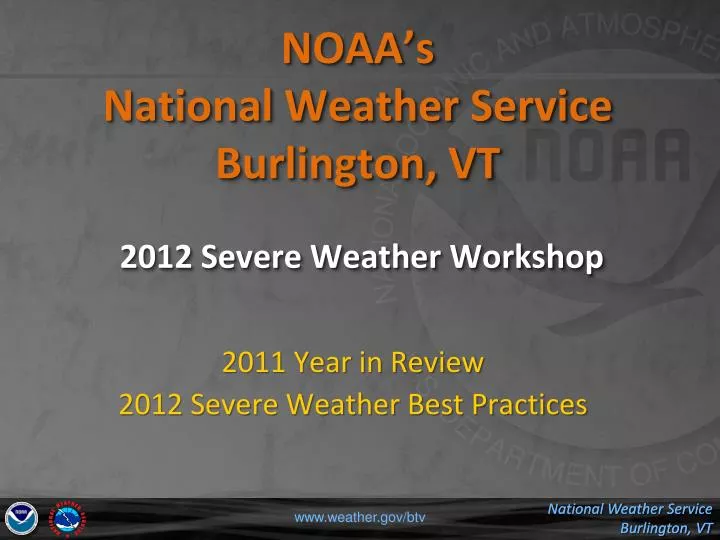
NOAA’s National Weather Service Burlington, VT 2012 Severe Weather Workshop. 2011 Year in Review 2012 Severe Weather Best Practices . 2011. # Events 231. # Warnings 108. 2011 Year in Review. Two Widespread Events May 26 th Afternoon/Evening July 6th One BIG Event May 26 th

E N D
NOAA’s National Weather ServiceBurlington, VT2012 Severe Weather Workshop 2011 Year in Review 2012 Severe Weather Best Practices www.weather.gov/btv
2011 # Events 231 # Warnings 108 www.weather.gov/btv
2011 Year in Review • Two Widespread Events • May 26th Afternoon/Evening • July 6th • One BIG Event • May 26th • Flash Flood Threat (Days in Advance) • Severe/Tornado Threat • On the Heels of Joplin, MO (May 22nd) • Major Flash Flood Event Evening/Overnight • Otherwise, Year of the Floods!!! www.weather.gov/btv
National/Regional GPRA GoalsNWS Burlington – 2011 www.weather.gov/btv
NWS Burlington 1997-2011 www.weather.gov/btv
May 26, 2011 – Supercell/Flash Flooding 17 Warnings / 53 Events T POD = 0.94, FAR = 0, Lead Time = 28.7 minutes www.weather.gov/btv
May 26, 2010 – Route 7 Runner 6 Warnings / 33 Events T POD = 1.00, FAR = 0, Lead Time = 33.0 minutes www.weather.gov/btv
July 6, 2011 11 Warnings / 56 Events POD = 0.98, FAR = 0.09, Lead Time = 30.4 minutes www.weather.gov/btv
NWS Burlington vs. ER How’d we do?! www.weather.gov/btv
2011 # Events # Warnings www.weather.gov/btv
Probability of Detection - 2011GPRA POD = 0.84 www.weather.gov/btv
False Alarm Ratio - 2011GPRA FAR = 0.39 www.weather.gov/btv
Lead Time - 2011GPRA Lead Time = 17.0 minutes www.weather.gov/btv
2012 Severe Wx Operations Reminders and Best Practices www.weather.gov/btv
2012 Reminders www.weather.gov/btv • SPS can be issued for Potential Widespread/Significant Severe Threat • Up to 12 hours in advance (Midshift or Dayshift) • Mandatory…Moderate Risk by SPC • Forecaster discretion when in slight risk and thinking widespread severe activity • High confidence with regards to scattered/widespread severe • Additive Information after initial WCN • Timing, locations, specific threats • SPS issued via Warngen will have LAT/LON • Short-fused trackable elements • “Near- Severe” Thunderstorms
2012 Reminders www.weather.gov/btv • Pathcast vs. Non-Pathcast (SVR, TOR and SVS) • Use Default • Line storms, Uncertainty in Storm Track, Right mover??? • Pathcast • Certainty in Storm Track • Long-lived, persistent and consistent Storm Track
Best Practices • Longer Severe Thunderstorm Warnings (45-60 mins) • Verification Stats improve…lead times • Less EAS Activations • Keep current with updated SVS • Tornado Warnings should not exceed 45 minutes • Generally at BTV….30 minutes • Lack of sustainable, long-lived supercells • Climatology • NWS BTV Warning Length in Time (2011) • Average: 54 minutes • Maximum: 89 minutes • Minimum: 30 minutes (TOR) www.weather.gov/btv
2012 Reminders www.weather.gov/btv • SVR and TOR should have >= one intermediate SVS • Cancel portions no longer threatened by storm • Update timing and/or threat area • Possibly include storm report(s) to emphasize severity or add validity to the warning
SVS Issuances – 2011 Total # SVS: 240 Update/Intermediate SVS: 158 Total Warnings: 108 > 95% Compliance www.weather.gov/btv
2012 Reminders • Timely and Correct LSRs…ECLAIRS • Include SVR and non-SVR reports • Hail (Any size…especially ½ inch or larger) • Reliable, substantiated reports whether in warning or not • Avoid “Tornado or Possible Tornado” terminology • If time looks “OFF”…try to utilize radar, if time allows • Attempt Summary LSR’s whenever possible • Especially at the END of an event • DisasterLan • Vermont and New York? • NWSChat • Availability has been relayed to our EMs and media www.weather.gov/btv
2012 Reminder/New Policy www.weather.gov/btv • NY Emergency Managers and VEM should be notified by phone and/or radio for • ALL “Short-fuse” Watches/Warnings • Severe Thunderstorm, Tornado Watches • Severe Thunderstorm, Tornado, Flash Flood and Flood Warnings • Updated Checklist coming shortly VEM: NAWAS (Business Hours), Phone (Non-business) Clinton/Essex: Radio 45.88 Franklin:Ask Clinton to Relay or Phone St. Lawrence: Phone
DON’T GET CAUGHT!!! • Look at the WHOLE “BIG” Picture • Impressive Squall Line…BUT • Renegade Storm Ahead…mini-Supercell? • Storm History…track life cycle of storm • Storms go through Life cycle and Character Phases • Significant Lightning/Radar returns traveling across COLD water, YET still maintaining character • What else could be driving this storm??? • Trust the radar, meteorology and your instincts • Don’t let the lack of “real-time” storm reports in a sparsely populated influence your decision…especially if the storm is traveling >40 mph • Better to have False Alarm than Missed event www.weather.gov/btv
DON’T GET CAUGHT!!! – Best Practices • Warning Polygon approaching another CWA • Consider EXTENDING your polygon (Time/Areal) into neighboring CWA • Eliminates the awkward decision of issuing or not-issuing for only a few miles or 5-10 minutes…thus SAVES valuable time. • Draw polygons large enough • Anticipate outflow development • Potential “right-movers” • Allow slight overlap in polygons • Avoiding gaps and wasting time to make polygons “fit” • Re-check Storm Motions!!! • Monitor Flash Flood potential as well • Route 2 Corridor (Montpelier to NH Border) www.weather.gov/btv
Questions??? www.weather.gov/btv